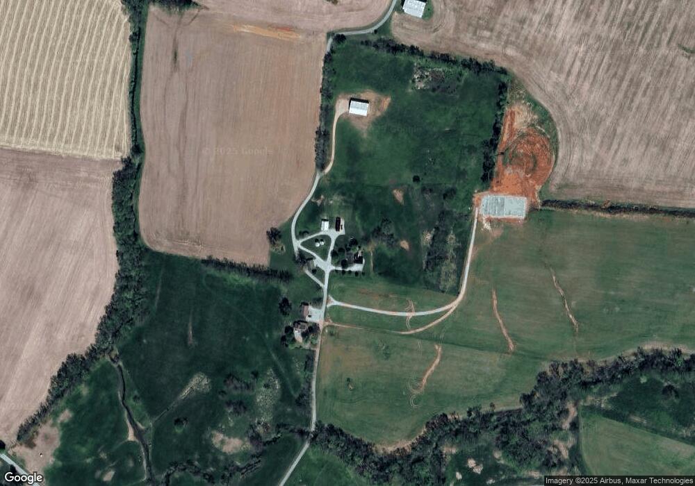
260 Mennonite Church Rd Franklin, KY 42134
Estimated Value: $352,000 - $618,736
4
Beds
2
Baths
2,570
Sq Ft
$172/Sq Ft
Est. Value
About This Home
This home is located at 260 Mennonite Church Rd, Franklin, KY 42134 and is currently estimated at $441,934, approximately $171 per square foot. 260 Mennonite Church Rd is a home located in Simpson County with nearby schools including Franklin Elementary School, Lincoln Elementary School, and Simpson Elementary School.
Ownership History
Date
Name
Owned For
Owner Type
Purchase Details
Closed on
Jun 18, 2021
Sold by
Walton Belmarie Owen and The Olane Bray Owen Estate
Bought by
Robertson Jeremy and Robertson Tabitha
Current Estimated Value
Home Financials for this Owner
Home Financials are based on the most recent Mortgage that was taken out on this home.
Original Mortgage
$2,200,000
Outstanding Balance
$1,928,864
Interest Rate
2.9%
Mortgage Type
Commercial
Estimated Equity
-$1,486,930
Create a Home Valuation Report for This Property
The Home Valuation Report is an in-depth analysis detailing your home's value as well as a comparison with similar homes in the area
Home Values in the Area
Average Home Value in this Area
Purchase History
| Date | Buyer | Sale Price | Title Company |
|---|---|---|---|
| Robertson Jeremy | $2,464,000 | None Available | |
| Robertson Jeremy | $2,464,000 | Parker Harlin |
Source: Public Records
Mortgage History
| Date | Status | Borrower | Loan Amount |
|---|---|---|---|
| Open | Robertson Jeremy | $2,200,000 | |
| Closed | Robertson Jeremy | $0 |
Source: Public Records
Tax History Compared to Growth
Tax History
| Year | Tax Paid | Tax Assessment Tax Assessment Total Assessment is a certain percentage of the fair market value that is determined by local assessors to be the total taxable value of land and additions on the property. | Land | Improvement |
|---|---|---|---|---|
| 2024 | $2,662 | $300,750 | $0 | $0 |
| 2023 | $2,800 | $300,750 | $0 | $0 |
| 2022 | $2,632 | $300,750 | $0 | $0 |
| 2021 | $2,611 | $300,750 | $0 | $0 |
| 2020 | $2,636 | $300,750 | $0 | $0 |
| 2019 | $2,687 | $300,750 | $0 | $0 |
| 2018 | $2,677 | $300,750 | $0 | $0 |
| 2017 | $2,616 | $300,750 | $0 | $0 |
| 2016 | $1,604 | $186,000 | $0 | $0 |
| 2015 | -- | $93,500 | $0 | $0 |
| 2013 | -- | $715,000 | $0 | $715,000 |
Source: Public Records
Map
Nearby Homes
- 206 Stinson Rd
- 0 Locust Grove Rd Unit 20183961
- 2639 Bracken Prices Mill Rd
- 4990 Morgantown Rd
- 5320 Morgantown Rd
- 3541 Russellville Rd
- 3431 Morgantown Rd
- 0 Montgomery Rd
- 3548 Neosheo Prices Mill Rd
- 0 Neosheo Prices Mill Rd Unit RA20251613
- 881 Dinwiddie Rd
- 636 Flat Rock Rd
- 1216 Montgomery Rd
- 204 Wilson Ave
- 242 S Lincoln St
- 108 Planters Way
- 106 Planters Way
- 104 Planters Way
- 100 Planters Way
- 259 Peterson Ave