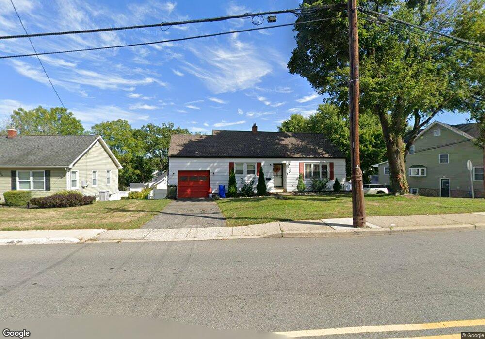
260 N Main St Wharton, NJ 07885
Estimated Value: $407,953 - $437,000
--
Bed
--
Bath
1,074
Sq Ft
$393/Sq Ft
Est. Value
About This Home
This home is located at 260 N Main St, Wharton, NJ 07885 and is currently estimated at $422,238, approximately $393 per square foot. 260 N Main St is a home located in Morris County with nearby schools including Marie V. Duffy Elementary School and A C Mac Kinnon Middle School.
Ownership History
Date
Name
Owned For
Owner Type
Purchase Details
Closed on
Mar 15, 2007
Sold by
Easse Goldie T
Bought by
Salas Christian
Current Estimated Value
Home Financials for this Owner
Home Financials are based on the most recent Mortgage that was taken out on this home.
Original Mortgage
$232,000
Interest Rate
6.24%
Mortgage Type
Purchase Money Mortgage
Purchase Details
Closed on
Jul 13, 2005
Sold by
Csontos Andrew
Bought by
Csontos Andrew
Create a Home Valuation Report for This Property
The Home Valuation Report is an in-depth analysis detailing your home's value as well as a comparison with similar homes in the area
Home Values in the Area
Average Home Value in this Area
Purchase History
| Date | Buyer | Sale Price | Title Company |
|---|---|---|---|
| Salas Christian | $290,000 | None Available | |
| Csontos Andrew | -- | -- |
Source: Public Records
Mortgage History
| Date | Status | Borrower | Loan Amount |
|---|---|---|---|
| Previous Owner | Salas Christian | $232,000 |
Source: Public Records
Tax History Compared to Growth
Tax History
| Year | Tax Paid | Tax Assessment Tax Assessment Total Assessment is a certain percentage of the fair market value that is determined by local assessors to be the total taxable value of land and additions on the property. | Land | Improvement |
|---|---|---|---|---|
| 2025 | $7,356 | $266,300 | $101,700 | $164,600 |
| 2024 | $6,937 | $248,600 | $97,200 | $151,400 |
| 2023 | $6,937 | $231,700 | $92,700 | $139,000 |
| 2022 | $6,489 | $220,900 | $92,700 | $128,200 |
| 2021 | $6,489 | $212,700 | $92,700 | $120,000 |
| 2020 | $6,293 | $202,400 | $88,200 | $114,200 |
| 2019 | $6,063 | $196,600 | $88,200 | $108,400 |
| 2018 | $5,675 | $187,800 | $83,700 | $104,100 |
| 2017 | $5,548 | $181,600 | $79,200 | $102,400 |
| 2016 | $5,190 | $182,300 | $79,200 | $103,100 |
| 2015 | $5,483 | $181,300 | $79,200 | $102,100 |
| 2014 | $5,512 | $180,300 | $79,200 | $101,100 |
Source: Public Records
Map
Nearby Homes
- 19123 Westview Unit 19123
- 399 N Main St
- 22145 Westview
- 12 Sunset Dr
- 42 Fern Ave
- 52 W Union Turnpike
- 322 P7 Richard Mine Rd Unit 7
- 8 Baker Ave
- 322 Richard Mine Rd Unit 9
- 322 Richard Mine Rd Unit 4
- 14 Kelly Ln
- 10 Fernandez Ln
- 17 Anderson Rd
- 75 White St
- 18 Wabash Ave
- 37 Garden Ave
- 78 James St
- 8 N Elk Ave
- 98 Baker St
- 24 Homestead Way