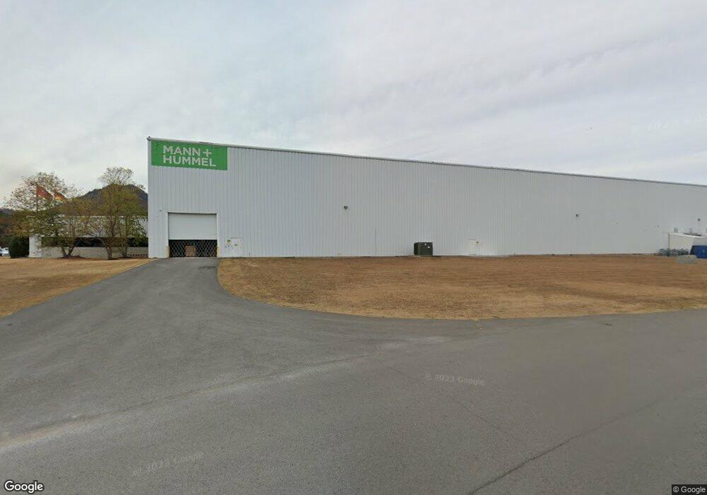
260 Resource Rd Dunlap, TN 37327
Estimated Value: $3,481,859
--
Bed
12
Baths
182,578
Sq Ft
$19/Sq Ft
Est. Value
About This Home
This home is located at 260 Resource Rd, Dunlap, TN 37327 and is currently estimated at $3,481,859, approximately $19 per square foot. 260 Resource Rd is a home located in Sequatchie County with nearby schools including Griffith Elementary School, Sequatchie County Middle School, and Sequatchie County High School.
Ownership History
Date
Name
Owned For
Owner Type
Purchase Details
Closed on
Dec 14, 2011
Sold by
Seymour Tubing Inc
Bought by
Industrial Development Board Of The City Of D
Current Estimated Value
Home Financials for this Owner
Home Financials are based on the most recent Mortgage that was taken out on this home.
Original Mortgage
$3,000,000
Outstanding Balance
$2,042,165
Interest Rate
4.06%
Mortgage Type
Commercial
Estimated Equity
$1,439,694
Purchase Details
Closed on
Nov 6, 2007
Sold by
The Industrial Development
Bought by
Seymour Tubing Inc
Create a Home Valuation Report for This Property
The Home Valuation Report is an in-depth analysis detailing your home's value as well as a comparison with similar homes in the area
Home Values in the Area
Average Home Value in this Area
Purchase History
| Date | Buyer | Sale Price | Title Company |
|---|---|---|---|
| Industrial Development Board Of The City Of D | -- | -- | |
| The Industial Dev Board Of The | -- | -- | |
| Seymour Tubing Inc | -- | -- |
Source: Public Records
Mortgage History
| Date | Status | Borrower | Loan Amount |
|---|---|---|---|
| Open | The Industial Dev Board Of The | $3,000,000 | |
| Closed | Seymour Tubing Inc | $3,000,000 |
Source: Public Records
Tax History Compared to Growth
Tax History
| Year | Tax Paid | Tax Assessment Tax Assessment Total Assessment is a certain percentage of the fair market value that is determined by local assessors to be the total taxable value of land and additions on the property. | Land | Improvement |
|---|---|---|---|---|
| 2025 | $66,060 | $2,735,880 | $0 | $0 |
| 2024 | $65,979 | $2,735,880 | $178,520 | $2,557,360 |
| 2023 | $65,979 | $2,732,480 | $178,520 | $2,553,960 |
| 2022 | $56,325 | $1,697,440 | $50,000 | $1,647,440 |
| 2021 | $0 | $0 | $0 | $0 |
| 2020 | $53,197 | $0 | $0 | $0 |
| 2019 | $0 | $0 | $0 | $0 |
| 2018 | $0 | $0 | $0 | $0 |
| 2017 | $0 | $0 | $0 | $0 |
| 2016 | $53,197 | $1,597,230 | $53,550 | $1,543,680 |
| 2015 | $53,197 | $1,597,230 | $53,550 | $1,543,680 |
| 2014 | $53,197 | $1,597,230 | $53,550 | $1,543,680 |
Source: Public Records
Map
Nearby Homes
- 402 Old State Highway 8
- 448 Angel Oak Dr
- 381 Angel Oak Dr
- 152 Bear Oak Dr
- 142 Bear Oak Dr
- 226 Bear Oak Dr
- 79 Bear Oak Dr
- 345 Angel Oak Dr
- 110 Bear Oak Dr
- 44 Bear Oak Dr
- 239 Bear Oak Dr
- 244 Scarlet Oak Dr
- 245 Scarlet Oak Dr
- 249 Bear Oak Dr
- 397 Angel Oak Dr
- 216 Scarlet Oak Dr
- 157 Bear Oak Dr
- 129 Scarlet Oak Dr
- 195 Angel Oak Dr
- 198 Scarlet Oak Dr