260 Rolling Meadow Dr Holliston, MA 01746
Estimated Value: $884,171 - $1,006,000
4
Beds
4
Baths
2,481
Sq Ft
$390/Sq Ft
Est. Value
About This Home
This home is located at 260 Rolling Meadow Dr, Holliston, MA 01746 and is currently estimated at $966,543, approximately $389 per square foot. 260 Rolling Meadow Dr is a home located in Middlesex County with nearby schools including Miller Elementary School, Robert H. Adams Middle School, and Holliston High School.
Ownership History
Date
Name
Owned For
Owner Type
Purchase Details
Closed on
Jul 27, 2012
Sold by
Murphy Carolyn J and Murphy Gregory C
Bought by
Smith Jason E and Smith Stefanie L
Current Estimated Value
Home Financials for this Owner
Home Financials are based on the most recent Mortgage that was taken out on this home.
Original Mortgage
$406,000
Outstanding Balance
$280,181
Interest Rate
3.74%
Mortgage Type
New Conventional
Estimated Equity
$686,362
Create a Home Valuation Report for This Property
The Home Valuation Report is an in-depth analysis detailing your home's value as well as a comparison with similar homes in the area
Home Values in the Area
Average Home Value in this Area
Purchase History
| Date | Buyer | Sale Price | Title Company |
|---|---|---|---|
| Smith Jason E | $507,500 | -- |
Source: Public Records
Mortgage History
| Date | Status | Borrower | Loan Amount |
|---|---|---|---|
| Open | Smith Jason E | $406,000 |
Source: Public Records
Tax History Compared to Growth
Tax History
| Year | Tax Paid | Tax Assessment Tax Assessment Total Assessment is a certain percentage of the fair market value that is determined by local assessors to be the total taxable value of land and additions on the property. | Land | Improvement |
|---|---|---|---|---|
| 2025 | $11,714 | $799,600 | $272,200 | $527,400 |
| 2024 | $11,610 | $770,900 | $272,200 | $498,700 |
| 2023 | $11,273 | $732,000 | $272,200 | $459,800 |
| 2022 | $10,829 | $623,100 | $272,200 | $350,900 |
| 2021 | $10,855 | $608,100 | $257,200 | $350,900 |
| 2020 | $10,628 | $563,800 | $252,400 | $311,400 |
| 2019 | $10,415 | $553,100 | $244,900 | $308,200 |
| 2018 | $10,326 | $553,100 | $244,900 | $308,200 |
| 2017 | $10,330 | $557,800 | $257,600 | $300,200 |
| 2016 | $10,160 | $540,700 | $240,500 | $300,200 |
| 2015 | $9,696 | $500,300 | $193,400 | $306,900 |
Source: Public Records
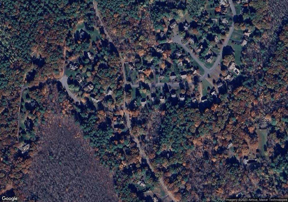
Map
Nearby Homes
- 7 Hill St
- 116 Winthrop St
- 0 Hill St
- 625 Norfolk St
- 19 Sycamore Way Unit L40
- 1037 Washington St
- 154 Union St
- 12 Longmeadow Ln
- 140 Goulding St
- 30 Broken Tree Rd
- 156 Mitchell Rd
- 266 Willowgate Rise
- 1366 Washington St
- 15 Broad Acres Farm Rd
- 1 Jameson Dr Unit 1
- 3 Jameson Dr Unit 3
- 1 Walnut Ln
- 1014 Highland St
- 27 Richardson Dr Unit 27
- 36 Lovering St
- 270 Rolling Meadow Dr
- 252 Rolling Meadow Dr
- 244 Rolling Meadow Dr
- 142 Winthrop St
- 261 Rolling Meadow Dr
- 234 Rolling Meadow Dr
- 253 Rolling Meadow Dr
- 269 Rolling Meadow Dr
- 5 Timber Ledge Dr
- 245 Rolling Meadow Dr
- 140 Winthrop St
- 228 Rolling Meadow Dr
- 235 Rolling Meadow Dr
- 137 Winthrop St
- 137A Winthrop St
- 7 Timber Ledge Dr
- 222 Rolling Meadow Dr
- 225 Rolling Meadow Dr
- 1595 Highland St
- 9 Timber Ledge Dr