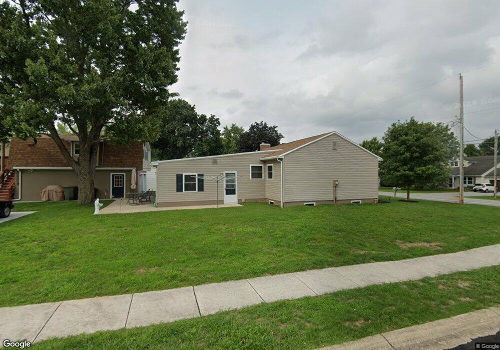
260 Table Rock Rd Unit 1 Gettysburg, PA 17325
Estimated Value: $293,000 - $359,000
4
Beds
1
Bath
1,471
Sq Ft
$214/Sq Ft
Est. Value
About This Home
This home is located at 260 Table Rock Rd Unit 1, Gettysburg, PA 17325 and is currently estimated at $315,322, approximately $214 per square foot. 260 Table Rock Rd Unit 1 is a home located in Adams County with nearby schools including Gettysburg Area High School, Vida Charter School, and St. Francis Xavier Catholic School.
Ownership History
Date
Name
Owned For
Owner Type
Purchase Details
Closed on
Dec 21, 2004
Bought by
Kump David P
Current Estimated Value
Create a Home Valuation Report for This Property
The Home Valuation Report is an in-depth analysis detailing your home's value as well as a comparison with similar homes in the area
Home Values in the Area
Average Home Value in this Area
Purchase History
| Date | Buyer | Sale Price | Title Company |
|---|---|---|---|
| Kump David P | -- | -- |
Source: Public Records
Mortgage History
| Date | Status | Borrower | Loan Amount |
|---|---|---|---|
| Open | Kump David P | $100,100 |
Source: Public Records
Tax History Compared to Growth
Tax History
| Year | Tax Paid | Tax Assessment Tax Assessment Total Assessment is a certain percentage of the fair market value that is determined by local assessors to be the total taxable value of land and additions on the property. | Land | Improvement |
|---|---|---|---|---|
| 2025 | $3,669 | $196,600 | $32,800 | $163,800 |
| 2024 | $3,509 | $196,600 | $32,800 | $163,800 |
| 2023 | $3,460 | $196,600 | $32,800 | $163,800 |
| 2022 | $3,430 | $196,600 | $32,800 | $163,800 |
| 2021 | $3,363 | $196,600 | $32,800 | $163,800 |
| 2020 | $3,363 | $196,600 | $32,800 | $163,800 |
| 2019 | $3,342 | $196,600 | $32,800 | $163,800 |
| 2018 | $3,324 | $196,600 | $32,800 | $163,800 |
| 2017 | $3,140 | $196,600 | $32,800 | $163,800 |
| 2016 | -- | $196,600 | $32,800 | $163,800 |
| 2015 | -- | $196,600 | $32,800 | $163,800 |
| 2014 | -- | $196,600 | $32,800 | $163,800 |
Source: Public Records
Map
Nearby Homes
- 46 Pin Oak Ln Unit 18
- 25 Apple Ave Unit 3
- 95 Table Rock Rd
- 45 Windsor Ct
- DELMAR Plan at The Townes at Cambridge
- 38 Windsor Ct
- 40 Windsor Ct
- 42 Windsor Ct
- 50 Windsor Ct
- 52 Windsor Ct
- 54 Windsor Ct
- 56 Windsor Ct
- 1314 Biglerville Rd
- 161 Early Ave Unit 6
- 230 Ewell Ave
- 0 Old Harrisburg Rd Unit 71
- 122 South Ave
- 8 Osprey Ct
- 41 Laura Ln
- 874 Boyds School Rd Unit 6
- 268 Table Rock Rd
- 15 Winslow Ct Unit 85
- 19 Winslow Ct Unit 87
- 19 Winslow Ct
- 17 Winslow Ct
- 17 Winslow Ct Unit 86
- 1 Winslow Ct
- 240 Table Rock Rd
- 21 Winslow Ct Unit 88
- 21 Winslow Ct
- 274 Table Rock Rd Unit 3
- 0 Winslow Ct Unit 99 1002837515
- 0 Winslow Ct Unit 100 1002838413
- Lot 117 Winslow Ct Unit 117
- Lot 118 Winslow Ct Unit 118
- Lot #100 Winslow Ct
- 25 Winslow Ct Unit 90
- 23 Winslow Ct
- 23 Winslow Ct Unit 89
- 271 Table Rock Rd Unit 4