260 Tomahawk Dr Palm Desert, CA 92211
Indian Ridge NeighborhoodEstimated Value: $712,000 - $1,221,000
3
Beds
4
Baths
2,368
Sq Ft
$405/Sq Ft
Est. Value
About This Home
This home is located at 260 Tomahawk Dr, Palm Desert, CA 92211 and is currently estimated at $959,304, approximately $405 per square foot. 260 Tomahawk Dr is a home located in Riverside County with nearby schools including Ronald Reagan Elementary School, Colonel Mitchell Paige Middle School, and Palm Desert High School.
Ownership History
Date
Name
Owned For
Owner Type
Purchase Details
Closed on
Dec 14, 1999
Sold by
Hochstadter Marion
Bought by
Hochstadter Marion and The Marion Hochstadter Trust
Current Estimated Value
Purchase Details
Closed on
May 29, 1997
Sold by
Sunrise Desert Partners
Bought by
Hochstadter Marion
Home Financials for this Owner
Home Financials are based on the most recent Mortgage that was taken out on this home.
Original Mortgage
$80,000
Interest Rate
7.49%
Create a Home Valuation Report for This Property
The Home Valuation Report is an in-depth analysis detailing your home's value as well as a comparison with similar homes in the area
Home Values in the Area
Average Home Value in this Area
Purchase History
| Date | Buyer | Sale Price | Title Company |
|---|---|---|---|
| Hochstadter Marion | -- | -- | |
| Hochstadter Marion | $338,000 | First American Title Ins Co |
Source: Public Records
Mortgage History
| Date | Status | Borrower | Loan Amount |
|---|---|---|---|
| Previous Owner | Hochstadter Marion | $80,000 |
Source: Public Records
Tax History
| Year | Tax Paid | Tax Assessment Tax Assessment Total Assessment is a certain percentage of the fair market value that is determined by local assessors to be the total taxable value of land and additions on the property. | Land | Improvement |
|---|---|---|---|---|
| 2025 | $6,756 | $531,688 | $127,720 | $403,968 |
| 2023 | $6,756 | $511,044 | $122,761 | $388,283 |
| 2022 | $6,452 | $501,024 | $120,354 | $380,670 |
| 2021 | $6,309 | $491,201 | $117,995 | $373,206 |
| 2020 | $6,194 | $486,166 | $116,786 | $369,380 |
| 2019 | $6,079 | $476,635 | $114,497 | $362,138 |
| 2018 | $5,966 | $467,290 | $112,252 | $355,038 |
| 2017 | $5,865 | $458,128 | $110,051 | $348,077 |
| 2016 | $6,769 | $449,146 | $107,894 | $341,252 |
| 2015 | $6,791 | $442,401 | $106,274 | $336,127 |
| 2014 | $6,695 | $433,738 | $104,194 | $329,544 |
Source: Public Records
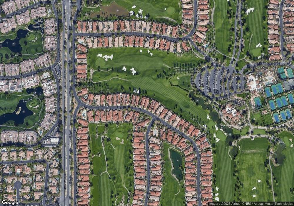
Map
Nearby Homes
- 320 Bright Rock Dr
- 340 Bright Rock Dr
- 405 White Horse Trail Unit P98
- 469 White Horse Trail
- 135 Blue River Dr
- 360 Tomahawk Dr
- 461 White Horse Trail
- 149 Blue River Dr
- 311 Eagle Dance Cir Unit 16
- 228 White Horse Trail
- 396 Tomahawk Dr
- 400 Tomahawk Dr
- 39 Blue River Dr
- 73 Amalfi Dr
- 601 Indian Ridge Dr
- 525 Indian Ridge Dr
- 181 Eagle Dance Cir
- 109 Rain Bird Cir
- 443 Tomahawk Dr
- 65 Laken Ln
- 250 Tomahawk Dr
- 280 Tomahawk Dr
- 240 Tomahawk Dr
- 230 Tomahawk Dr
- 290 Tomahawk Dr
- 221 Tomahawk Dr
- 220 Tomahawk Dr
- 300 Tomahawk Dr
- 501 Mesa Grande Dr
- 210 Tomahawk Dr
- 304 Tomahawk Dr
- 201 Tomahawk Dr
- 200 Tomahawk Dr
- 308 Tomahawk Dr
- 515 Mesa Grande Dr
- 309 Tomahawk Dr
- 190 Tomahawk Dr
- 191 Tomahawk Dr
- 312 Tomahawk Dr
- 529 Mesa Grande Dr
Your Personal Tour Guide
Ask me questions while you tour the home.