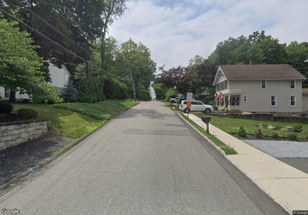
260 W Chrystal St Randolph, NJ 07869
Estimated Value: $394,000 - $630,000
--
Bed
--
Bath
1,818
Sq Ft
$307/Sq Ft
Est. Value
About This Home
This home is located at 260 W Chrystal St, Randolph, NJ 07869 and is currently estimated at $559,031, approximately $307 per square foot. 260 W Chrystal St is a home located in Morris County with nearby schools including Randolph High School, Randolph Middle School, and Apple Montessori Schools and Camps - Randolph.
Ownership History
Date
Name
Owned For
Owner Type
Purchase Details
Closed on
Nov 11, 2020
Sold by
Norman Dorothy S
Bought by
Norman Richard W
Current Estimated Value
Purchase Details
Closed on
Oct 28, 2019
Sold by
Norman Richard W
Bought by
Norman Dorothy S
Home Financials for this Owner
Home Financials are based on the most recent Mortgage that was taken out on this home.
Original Mortgage
$265,109
Outstanding Balance
$234,466
Interest Rate
3.87%
Mortgage Type
FHA
Estimated Equity
$324,565
Create a Home Valuation Report for This Property
The Home Valuation Report is an in-depth analysis detailing your home's value as well as a comparison with similar homes in the area
Home Values in the Area
Average Home Value in this Area
Purchase History
| Date | Buyer | Sale Price | Title Company |
|---|---|---|---|
| Norman Richard W | -- | Old Republic Title | |
| Norman Dorothy S | -- | Old Republic Title | |
| Norman Richard W | $270,000 | Old Republic Natl Ttl Ins Co |
Source: Public Records
Mortgage History
| Date | Status | Borrower | Loan Amount |
|---|---|---|---|
| Open | Norman Richard W | $265,109 |
Source: Public Records
Tax History Compared to Growth
Tax History
| Year | Tax Paid | Tax Assessment Tax Assessment Total Assessment is a certain percentage of the fair market value that is determined by local assessors to be the total taxable value of land and additions on the property. | Land | Improvement |
|---|---|---|---|---|
| 2025 | $9,456 | $334,000 | $146,800 | $187,200 |
| 2024 | $9,218 | $334,000 | $146,800 | $187,200 |
| 2023 | $9,218 | $334,000 | $146,800 | $187,200 |
| 2022 | $8,858 | $334,000 | $146,800 | $187,200 |
| 2021 | $8,858 | $334,000 | $146,800 | $187,200 |
| 2020 | $8,768 | $334,000 | $146,800 | $187,200 |
| 2019 | $8,667 | $334,000 | $146,800 | $187,200 |
| 2018 | $8,557 | $334,000 | $146,800 | $187,200 |
| 2017 | $8,450 | $334,000 | $146,800 | $187,200 |
| 2016 | $7,851 | $214,500 | $114,400 | $100,100 |
| 2015 | $7,506 | $214,500 | $114,400 | $100,100 |
| 2014 | $7,386 | $214,500 | $114,400 | $100,100 |
Source: Public Records
Map
Nearby Homes
- 3 Marble Ln
- 58 Conrad Place
- 166 Millbrook Ave
- 121 W Munson Ave
- 119 Millbrook Ave
- 11 Millbrook Ave
- 126 Prospect St
- 15 Summer Ave
- 1 Rockridge Terrace
- 12 Birch St
- 36 Prospect St
- 22 S Highland Ave
- 66 Fords Rd
- 215 Washington Ave
- 142 W Blackwell St
- 189 Center Grove Rd
- 400 Quaker Church Rd
- 77B Highland Way
- 193 Center Grove Rd
- 120 Park Heights Ave
- 258 W Chrystal St
- 262 W Chrystal St
- 12 Fairfield Ave
- 261 W Chrystal St
- 256 W Chrystal St
- 7 Fairfield Ave
- 257 W Chrystal St
- 265 W Chrystal St
- 266 W Chrystal St
- 259 W Chrystal St
- 22 Fairfield Ave
- 255 W Chrystal St
- 20 Fairfield Ave
- 74 Quaker Ave
- 24 Fairfield Ave
- 267 W Chrystal St
- 94 Quaker Ave
- 18 Fairfield Ave
- 253 W Chrystal St
- 26 Fairfield Ave