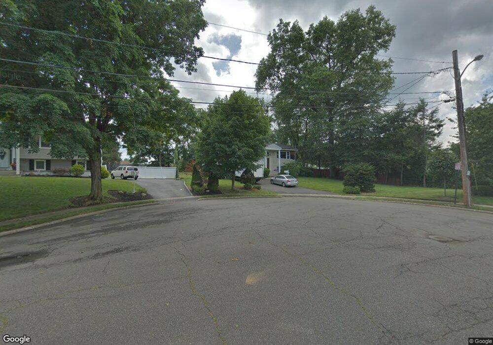
260 West Dr Paramus, NJ 07652
Estimated Value: $967,000 - $1,190,000
4
Beds
3
Baths
2,040
Sq Ft
$519/Sq Ft
Est. Value
About This Home
This home is located at 260 West Dr, Paramus, NJ 07652 and is currently estimated at $1,058,740, approximately $518 per square foot. 260 West Dr is a home located in Bergen County with nearby schools including Paramus High School and Bergen Catholic High School.
Ownership History
Date
Name
Owned For
Owner Type
Purchase Details
Closed on
Sep 29, 2020
Sold by
Elias Irvin T
Bought by
Dabrowski Dariusz and Dabrowski Renata
Current Estimated Value
Purchase Details
Closed on
Mar 25, 2002
Purchase Details
Closed on
Dec 18, 1996
Sold by
Liu Tian Cheng
Bought by
Elias David and Elias Marilyn
Home Financials for this Owner
Home Financials are based on the most recent Mortgage that was taken out on this home.
Original Mortgage
$200,000
Interest Rate
7.62%
Create a Home Valuation Report for This Property
The Home Valuation Report is an in-depth analysis detailing your home's value as well as a comparison with similar homes in the area
Home Values in the Area
Average Home Value in this Area
Purchase History
| Date | Buyer | Sale Price | Title Company |
|---|---|---|---|
| Dabrowski Dariusz | $695,000 | Westcor Land Title Ins Co | |
| -- | -- | -- | |
| Elias David | $300,000 | -- |
Source: Public Records
Mortgage History
| Date | Status | Borrower | Loan Amount |
|---|---|---|---|
| Previous Owner | Elias David | $200,000 |
Source: Public Records
Tax History
| Year | Tax Paid | Tax Assessment Tax Assessment Total Assessment is a certain percentage of the fair market value that is determined by local assessors to be the total taxable value of land and additions on the property. | Land | Improvement |
|---|---|---|---|---|
| 2025 | $12,863 | $905,800 | $430,200 | $475,600 |
| 2024 | $12,478 | $849,600 | $398,400 | $451,200 |
| 2023 | $11,818 | $813,400 | $379,800 | $433,600 |
| 2022 | $11,375 | $732,900 | $354,700 | $378,200 |
| 2021 | $10,195 | $616,400 | $322,900 | $293,500 |
| 2020 | $8,966 | $562,100 | $317,900 | $244,200 |
| 2019 | $8,703 | $468,900 | $299,000 | $169,900 |
| 2018 | $8,595 | $468,900 | $299,000 | $169,900 |
| 2017 | $8,445 | $468,900 | $299,000 | $169,900 |
| 2016 | $8,215 | $468,900 | $299,000 | $169,900 |
| 2015 | $8,131 | $468,900 | $299,000 | $169,900 |
| 2014 | $8,060 | $468,900 | $299,000 | $169,900 |
Source: Public Records
Map
Nearby Homes
- 624 West Dr
- 319 Franklin Place
- 672 Rutgers Place
- 366 Mckinley Blvd
- 6 Merrimack Ct
- 492 Oaktree Rd
- 517 Fordham Place
- 295 Georgian Dr
- 111 Crain Rd
- 277 Columbia Terrace
- 715 Bush Place
- 16 Columbine Rd
- 216 E Midland Ave
- 375 Burnet Place
- 368 Elmwood Dr
- 828 Pascack Rd
- 90 Arnot Place
- 415 Bailey Rd
- 141 Pond Dr Unit 14A
- 11 Gabriel Ct
- 270 West Dr
- 261 Pascack Rd
- 274 West Dr
- 254 West Dr
- 271 West Dr
- 257 Pascack Rd
- 257 Pascack Rd Unit 1 Front
- 257 Pascack Rd Unit Rear
- 257 Pascack Rd Unit 2nd floor
- 275 West Dr
- 278 West Dr
- 266 Oradell Ave
- 262 Oradell Ave
- 279 West Dr
- 260 Oradell Ave
- 255 Pascack Rd
- 270 Oradell Ave
- 282 West Dr
- 619 Alberta Dr
- 256 Oradell Ave
