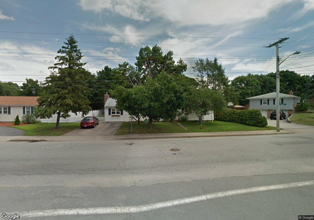
2600 Cranston St Cranston, RI 02920
Oaklawn NeighborhoodEstimated Value: $435,000 - $523,000
3
Beds
2
Baths
1,440
Sq Ft
$327/Sq Ft
Est. Value
About This Home
This home is located at 2600 Cranston St, Cranston, RI 02920 and is currently estimated at $470,790, approximately $326 per square foot. 2600 Cranston St is a home located in Providence County with nearby schools including Oak Lawn School, Western Hills Middle School, and Cranston High School West.
Ownership History
Date
Name
Owned For
Owner Type
Purchase Details
Closed on
Jan 25, 2008
Sold by
Dipiro Peter
Bought by
Paola Elizabeth and Paola Robert
Current Estimated Value
Home Financials for this Owner
Home Financials are based on the most recent Mortgage that was taken out on this home.
Original Mortgage
$193,500
Interest Rate
6.17%
Mortgage Type
Purchase Money Mortgage
Create a Home Valuation Report for This Property
The Home Valuation Report is an in-depth analysis detailing your home's value as well as a comparison with similar homes in the area
Home Values in the Area
Average Home Value in this Area
Purchase History
| Date | Buyer | Sale Price | Title Company |
|---|---|---|---|
| Paola Elizabeth | $215,000 | -- |
Source: Public Records
Mortgage History
| Date | Status | Borrower | Loan Amount |
|---|---|---|---|
| Open | Paola Elizabeth | $189,100 | |
| Closed | Paola Elizabeth | $193,500 |
Source: Public Records
Tax History Compared to Growth
Tax History
| Year | Tax Paid | Tax Assessment Tax Assessment Total Assessment is a certain percentage of the fair market value that is determined by local assessors to be the total taxable value of land and additions on the property. | Land | Improvement |
|---|---|---|---|---|
| 2025 | $5,088 | $366,600 | $119,200 | $247,400 |
| 2024 | $4,989 | $366,600 | $119,200 | $247,400 |
| 2023 | $4,956 | $262,200 | $78,500 | $183,700 |
| 2022 | $4,853 | $262,200 | $78,500 | $183,700 |
| 2021 | $4,720 | $262,200 | $78,500 | $183,700 |
| 2020 | $4,416 | $212,600 | $74,800 | $137,800 |
| 2019 | $4,416 | $212,600 | $74,800 | $137,800 |
| 2018 | $4,314 | $212,600 | $74,800 | $137,800 |
| 2017 | $4,232 | $184,500 | $67,300 | $117,200 |
| 2016 | $4,142 | $184,500 | $67,300 | $117,200 |
| 2015 | $4,142 | $184,500 | $67,300 | $117,200 |
| 2014 | $4,116 | $180,200 | $67,300 | $112,900 |
Source: Public Records
Map
Nearby Homes
- 269 Glen Hills Dr
- 20 Manilla Ave
- 25 Stoneham St
- 46 Hornbeam Dr
- 189 Summit Dr
- 7 Oak Tree Ln
- 45 Hamden Rd
- 132 Hoffman Ave Unit 115
- 132 Hoffman Ave Unit 207
- 132 Hoffman Ave Unit 110
- 145 E Hill Dr
- 143 Hoffman Ave Unit 109
- 143 Hoffman Ave Unit 206
- 203 Dean Ridge Ct
- 91 Ridgeway Rd
- 40 Phenix Ridge Dr
- 29 Valley St
- 51 E Bel Air Rd
- 0 Wain St
- 200 Hoffman Ave Unit 505
- 2594 Cranston St
- 186 Vinton Ave
- 705 Oaklawn Ave
- 2586 Cranston St
- 2593 Cranston St
- 6 Cardi Cir
- 2585 Cranston St
- 185 Vinton Ave
- 2580 Cranston St
- 157 Turner Ave
- 164 Turner Ave
- 11 Cardi Cir
- 712 Oaklawn Ave
- 20 Cardi Cir
- 693 Oaklawn Ave
- 181 Angell Ave
- 2579 Cranston St
- 156 Turner Ave
- 2568 Cranston St
- 175 Vinton Ave