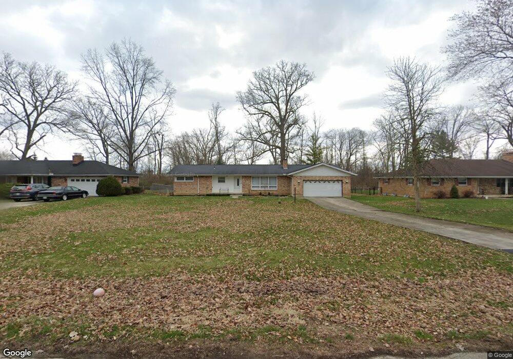
2600 Erter Dr Springfield, OH 45503
Estimated Value: $268,000 - $292,000
3
Beds
2
Baths
1,723
Sq Ft
$163/Sq Ft
Est. Value
About This Home
This home is located at 2600 Erter Dr, Springfield, OH 45503 and is currently estimated at $280,667, approximately $162 per square foot. 2600 Erter Dr is a home located in Clark County with nearby schools including Northridge Elementary School, Kenton Ridge Middle & High School, and Emmanuel Christian Academy.
Ownership History
Date
Name
Owned For
Owner Type
Purchase Details
Closed on
Mar 31, 2016
Sold by
Henry Fred E
Bought by
Twiggs Joshua J
Current Estimated Value
Home Financials for this Owner
Home Financials are based on the most recent Mortgage that was taken out on this home.
Original Mortgage
$1,080,000
Outstanding Balance
$654,052
Interest Rate
3.62%
Mortgage Type
New Conventional
Estimated Equity
-$373,385
Purchase Details
Closed on
Aug 16, 1999
Sold by
Estate Of Gerald R Henry
Bought by
Henry Fred
Create a Home Valuation Report for This Property
The Home Valuation Report is an in-depth analysis detailing your home's value as well as a comparison with similar homes in the area
Home Values in the Area
Average Home Value in this Area
Purchase History
| Date | Buyer | Sale Price | Title Company |
|---|---|---|---|
| Twiggs Joshua J | $135,000 | None Available | |
| Henry Fred | -- | -- |
Source: Public Records
Mortgage History
| Date | Status | Borrower | Loan Amount |
|---|---|---|---|
| Open | Twiggs Joshua J | $1,080,000 |
Source: Public Records
Tax History
| Year | Tax Paid | Tax Assessment Tax Assessment Total Assessment is a certain percentage of the fair market value that is determined by local assessors to be the total taxable value of land and additions on the property. | Land | Improvement |
|---|---|---|---|---|
| 2025 | $3,135 | $82,210 | $12,570 | $69,640 |
| 2024 | $3,032 | $71,690 | $11,030 | $60,660 |
| 2023 | $3,032 | $71,690 | $11,030 | $60,660 |
| 2022 | $3,043 | $71,690 | $11,030 | $60,660 |
| 2021 | $2,424 | $48,410 | $7,880 | $40,530 |
| 2020 | $2,426 | $48,410 | $7,880 | $40,530 |
| 2019 | $2,473 | $48,410 | $7,880 | $40,530 |
| 2018 | $2,576 | $48,360 | $7,480 | $40,880 |
| 2017 | $2,208 | $46,323 | $7,483 | $38,840 |
| 2016 | $2,193 | $46,323 | $7,483 | $38,840 |
| 2015 | $907 | $46,715 | $7,875 | $38,840 |
| 2014 | $907 | $46,715 | $7,875 | $38,840 |
| 2013 | $886 | $46,715 | $7,875 | $38,840 |
Source: Public Records
Map
Nearby Homes
- 2529 Marinette Dr
- 1924 Marinette Dr
- 1811 Devon Dr
- 3214 Revels St
- 2400 Thor Dr
- 3300 Revels St
- 2022 Westboro Ave
- 2193 Amarillo Ave
- 2948 Hyannis Dr
- 2861 Ashlar Dr
- 1628 Yorkshire Ct
- 3126 Lakeview Ct Unit 3126
- 2553 Derr Rd
- 3031 Bradford Dr Unit 47
- 3124 El Camino Dr
- 1046 Fruitland Rd
- 958 Torrence Dr
- 1611 Karr St
- 1149 Foxboro Rd
- 1136 Foxboro Rd Unit 202