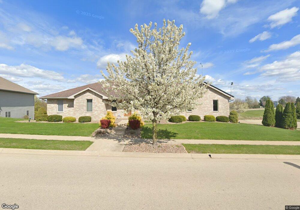
2600 Matthew John Dr Dubuque, IA 52002
Estimated Value: $381,000 - $430,000
4
Beds
6
Baths
1,742
Sq Ft
$230/Sq Ft
Est. Value
About This Home
This home is located at 2600 Matthew John Dr, Dubuque, IA 52002 and is currently estimated at $400,001, approximately $229 per square foot. 2600 Matthew John Dr is a home located in Dubuque County with nearby schools including Eisenhower Elementary School, Eleanor Roosevelt Middle School, and Hempstead High School.
Ownership History
Date
Name
Owned For
Owner Type
Purchase Details
Closed on
Jun 10, 2005
Sold by
Noel Ronald M and Noel Nancy E
Bought by
Steffen James E and Steffen Karilyn M
Current Estimated Value
Create a Home Valuation Report for This Property
The Home Valuation Report is an in-depth analysis detailing your home's value as well as a comparison with similar homes in the area
Home Values in the Area
Average Home Value in this Area
Purchase History
| Date | Buyer | Sale Price | Title Company |
|---|---|---|---|
| Steffen James E | $42,000 | None Available |
Source: Public Records
Tax History Compared to Growth
Tax History
| Year | Tax Paid | Tax Assessment Tax Assessment Total Assessment is a certain percentage of the fair market value that is determined by local assessors to be the total taxable value of land and additions on the property. | Land | Improvement |
|---|---|---|---|---|
| 2025 | $4,774 | $377,400 | $53,900 | $323,500 |
| 2024 | $4,774 | $355,900 | $50,900 | $305,000 |
| 2023 | $4,724 | $355,900 | $50,900 | $305,000 |
| 2022 | $4,794 | $298,840 | $50,950 | $247,890 |
| 2021 | $4,794 | $298,840 | $50,950 | $247,890 |
| 2020 | $4,898 | $284,240 | $50,950 | $233,290 |
| 2019 | $4,864 | $284,240 | $50,950 | $233,290 |
| 2018 | $4,786 | $270,110 | $40,000 | $230,110 |
| 2017 | $4,486 | $270,110 | $40,000 | $230,110 |
| 2016 | $4,390 | $240,820 | $40,000 | $200,820 |
| 2015 | $4,390 | $240,820 | $40,000 | $200,820 |
| 2014 | $4,272 | $240,820 | $40,000 | $200,820 |
Source: Public Records
Map
Nearby Homes
- 3640 Seville Dr
- 3494 Waller St
- 3725 Asbury Rd
- 2628 Dove St
- 2820 John F. Kennedy Rd
- 3462 Asbury Rd
- 2560 Crissy Dr
- 3229 Honeysuckle Ln
- 2380 Trygg Dr
- Lot Hillcrest Rd
- 3660 Hillcrest Rd
- 3519 Hillcrest Rd
- 2290 Theda Dr
- 2281 Pasadena Dr
- Lot 85 Wagon Wheel Ln
- Lot 76 Wagon Wheel Ln
- Lot 82 Wagon Wheel Ln
- Lot 87 Wagon Wheel Ln
- Lot 75 Wagon Wheel Ln
- Lot 81 Wagon Wheel Ln
- 2608 Matthew John Dr
- 2560 Matthew John Dr
- 2597 Matthew John Dr
- 2581 Matthew John Dr
- 2613 Matthew John Dr
- 2565 Matthew John Dr
- 2544 Matthew John Dr
- 2576 Wheatland Dr
- 2549 Matthew John Dr
- 2528 Matthew John Dr
- 2544 Wheatland Dr
- 2560 Wheatland Dr
- 2517 Matthew John Dr
- 2585 Wheatland Dr
- 2512 Matthew John Dr
- 2569 Wheatland Dr
- 2512 Wheatland Dr
- 2553 Wheatland Dr
- 2501 Matthew John Dr
- 2496 Matthew John Dr