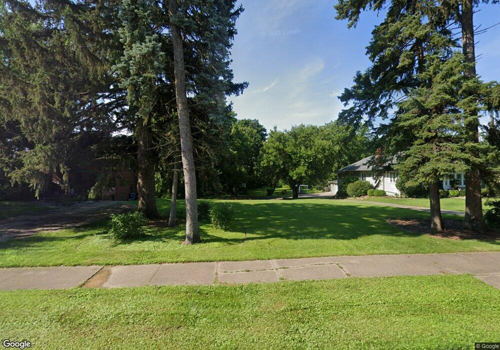
2600 Mulberry Ave Muscatine, IA 52761
Estimated Value: $68,000 - $113,000
--
Bed
--
Bath
--
Sq Ft
1.03
Acres
About This Home
This home is located at 2600 Mulberry Ave, Muscatine, IA 52761 and is currently estimated at $99,152. 2600 Mulberry Ave is a home located in Muscatine County with nearby schools including Grant Elementary School, Central Middle School, and Muscatine High School.
Ownership History
Date
Name
Owned For
Owner Type
Purchase Details
Closed on
Aug 23, 2022
Sold by
Lori A Mitchell Revocable Trust
Bought by
Stephen J Mitchell Revocable Trust
Current Estimated Value
Purchase Details
Closed on
Aug 8, 2017
Sold by
Stoltenberg Jan
Bought by
Bauer Sara and Bauer Jason
Purchase Details
Closed on
Jun 27, 2017
Sold by
Bauer Sara and Bauer Jason
Bought by
Stoltenberg Jan
Purchase Details
Closed on
Aug 30, 2013
Sold by
Mull Dorothy C and Nepple James A
Bought by
Bauer Sara and Bauer Jason
Create a Home Valuation Report for This Property
The Home Valuation Report is an in-depth analysis detailing your home's value as well as a comparison with similar homes in the area
Home Values in the Area
Average Home Value in this Area
Purchase History
| Date | Buyer | Sale Price | Title Company |
|---|---|---|---|
| Stephen J Mitchell Revocable Trust | -- | -- | |
| Bauer Sara | -- | None Available | |
| Stoltenberg Jan | -- | None Available | |
| Bauer Sara | $55,000 | None Available |
Source: Public Records
Tax History Compared to Growth
Tax History
| Year | Tax Paid | Tax Assessment Tax Assessment Total Assessment is a certain percentage of the fair market value that is determined by local assessors to be the total taxable value of land and additions on the property. | Land | Improvement |
|---|---|---|---|---|
| 2025 | $700 | $38,560 | $38,560 | $0 |
| 2024 | $700 | $38,560 | $38,560 | $0 |
| 2023 | $732 | $38,563 | $38,563 | $0 |
| 2022 | $742 | $36,380 | $36,380 | $0 |
| 2021 | $742 | $36,380 | $36,380 | $0 |
| 2020 | $764 | $36,380 | $36,380 | $0 |
| 2019 | $804 | $36,380 | $0 | $0 |
| 2018 | $792 | $36,380 | $0 | $0 |
| 2017 | $792 | $36,380 | $0 | $0 |
| 2016 | $2,976 | $131,630 | $0 | $0 |
| 2015 | $2,976 | $122,610 | $0 | $0 |
| 2014 | $2,792 | $122,610 | $0 | $0 |
Source: Public Records
Map
Nearby Homes
- 2520 Mulberry Ave
- 2604 Mulberry Ave
- 2608 Mulberry Ave
- 2518 Mulberry Ave
- 2516 Mulberry Ave
- 2601 Mulberry Ave
- 2512 Mulberry Ave
- 2616 Mulberry Ave
- 2508 Mulberry Ave
- 2620 Mulberry Ave
- 0 Mulberry Ave
- 406 Hogan Ct
- 2704 Mulberry Ave
- 401 Hogan Ct
- 2507 Mulberry Ave
- 2502 Mulberry Ave
- 405 Hogan Ct
- 2708 Mulberry Ave
- 11 Colony Dr
- 2500 Mulberry Ave