Estimated Value: $151,000 - $282,000
3
Beds
1
Bath
1,351
Sq Ft
$161/Sq Ft
Est. Value
About This Home
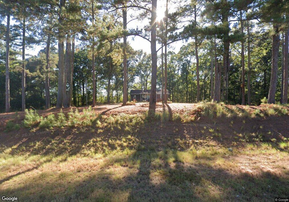
This home is located at 2600 N Highway 100, Waco, GA 30182 and is currently estimated at $216,973, approximately $160 per square foot. 2600 N Highway 100 is a home located in Carroll County with nearby schools including Bowdon Elementary School, Bowdon Middle School, and Bowdon High School.
Ownership History
Date
Name
Owned For
Owner Type
Purchase Details
Closed on
Dec 4, 2017
Sold by
Robinson Charles E
Bought by
Palmer Renee M
Current Estimated Value
Home Financials for this Owner
Home Financials are based on the most recent Mortgage that was taken out on this home.
Original Mortgage
$83,361
Outstanding Balance
$70,861
Interest Rate
4.5%
Mortgage Type
FHA
Estimated Equity
$146,112
Purchase Details
Closed on
May 28, 1996
Sold by
Robinson
Bought by
Robinson Charles E
Purchase Details
Closed on
Jul 30, 1958
Bought by
Robinson
Create a Home Valuation Report for This Property
The Home Valuation Report is an in-depth analysis detailing your home's value as well as a comparison with similar homes in the area
Home Values in the Area
Average Home Value in this Area
Purchase History
| Date | Buyer | Sale Price | Title Company |
|---|---|---|---|
| Palmer Renee M | $84,900 | -- | |
| Robinson Charles E | -- | -- | |
| Robinson | -- | -- |
Source: Public Records
Mortgage History
| Date | Status | Borrower | Loan Amount |
|---|---|---|---|
| Open | Palmer Renee M | $83,361 |
Source: Public Records
Tax History Compared to Growth
Tax History
| Year | Tax Paid | Tax Assessment Tax Assessment Total Assessment is a certain percentage of the fair market value that is determined by local assessors to be the total taxable value of land and additions on the property. | Land | Improvement |
|---|---|---|---|---|
| 2025 | $1,266 | $56,589 | $7,364 | $49,225 |
| 2024 | $1,280 | $56,589 | $7,364 | $49,225 |
| 2023 | $1,280 | $50,662 | $5,892 | $44,770 |
| 2022 | $1,000 | $39,876 | $3,928 | $35,948 |
| 2021 | $872 | $33,995 | $3,142 | $30,853 |
| 2020 | $788 | $30,710 | $2,856 | $27,854 |
| 2019 | $735 | $28,416 | $2,856 | $25,560 |
| 2018 | $659 | $25,095 | $2,670 | $22,425 |
| 2017 | $132 | $25,095 | $2,670 | $22,425 |
| 2016 | $132 | $25,095 | $2,670 | $22,425 |
| 2015 | $132 | $23,707 | $3,663 | $20,044 |
| 2014 | $133 | $23,707 | $3,663 | $20,044 |
Source: Public Records
Map
Nearby Homes
- 0 N Highway 100 Unit TRACT 2 10571032
- 0 N Highway 100 Unit TRACT 3 10571036
- 0 N Highway 100 Unit TRACT 4 10571038
- 786 Moon Rd
- 709 Melear Rd
- 380 Grimmett Rd
- 1030 Georgia 100
- 1509 High Point Rd
- 6058 Mount Zion Rd
- 183 Madden Rd
- 339 Cavender Ln
- 369 Cavender Ln
- 280 Levi-Patterson Rd
- 6919 Mount Zion Rd
- 1001 Vong St
- 2387 5 Points Rd
- 245 Delia Peace Rd
- 760 Carlton Johnson Rd
- 90 Washington St
- 760 Carlton Johnson Rd
- 2600 Georgia 100
- 85 Brown Dr
- 318 Old Brock Rd
- 3029 Lovvorn Mill Rd
- 3083 Lovvorn Mill Rd
- 3008 Lovvorn Mill Rd
- 2768 N Highway 100
- 2971 Lovvorn Mill Rd
- 2971 Lovvorn Mill Rd
- 2915 Lovvorn Mill Rd
- 3064 Lovvorn Mill Rd
- 0 Kansas Jake Rd Unit 20051267
- 0 Kansas Jake Rd Unit 8355079
- 0 Kansas Jake Rd Unit 8357413
- 0 Kansas Jake Rd Unit 8452799
- 0 Kansas Jake Rd Unit 6546245
- 0 Kansas Jake Rd Unit 8573582
- 0 Kansas Jake Rd Unit 8571653
- 9999 N Highway 100
- 43 Brown Dr