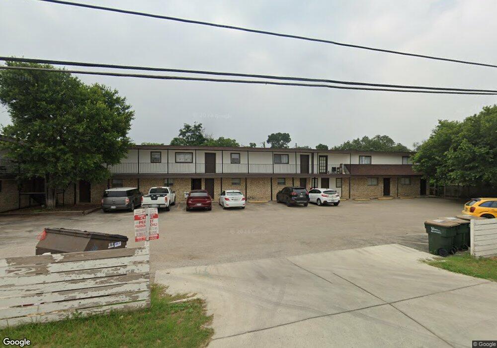
2600 N Interstate 35 San Marcos, TX 78666
Estimated Value: $105,361 - $269,000
--
Bed
--
Bath
1,246
Sq Ft
$157/Sq Ft
Est. Value
About This Home
This home is located at 2600 N Interstate 35, San Marcos, TX 78666 and is currently estimated at $196,120, approximately $157 per square foot. 2600 N Interstate 35 is a home located in Hays County with nearby schools including Travis Elementary School, Dorris Miller Middle School, and San Marcos High School.
Ownership History
Date
Name
Owned For
Owner Type
Purchase Details
Closed on
Aug 12, 2011
Sold by
Reasoner Joyce Estate
Bought by
Reasoner Harry Max
Current Estimated Value
Purchase Details
Closed on
Mar 20, 2009
Sold by
Chance Tex Ann and Clement Susan J Burnett
Bought by
Salewsky Ronald and Castillo Rene
Home Financials for this Owner
Home Financials are based on the most recent Mortgage that was taken out on this home.
Original Mortgage
$34,500
Interest Rate
5.14%
Mortgage Type
Seller Take Back
Create a Home Valuation Report for This Property
The Home Valuation Report is an in-depth analysis detailing your home's value as well as a comparison with similar homes in the area
Home Values in the Area
Average Home Value in this Area
Purchase History
| Date | Buyer | Sale Price | Title Company |
|---|---|---|---|
| Reasoner Harry Max | -- | -- | |
| Salewsky Ronald | -- | San Marcos Title |
Source: Public Records
Mortgage History
| Date | Status | Borrower | Loan Amount |
|---|---|---|---|
| Previous Owner | Salewsky Ronald | $34,500 |
Source: Public Records
Tax History Compared to Growth
Tax History
| Year | Tax Paid | Tax Assessment Tax Assessment Total Assessment is a certain percentage of the fair market value that is determined by local assessors to be the total taxable value of land and additions on the property. | Land | Improvement |
|---|---|---|---|---|
| 2025 | $756 | $38,420 | $38,420 | -- |
| 2024 | $756 | $38,420 | $38,420 | $0 |
| 2023 | $731 | $38,420 | $38,420 | $0 |
| 2022 | $667 | $32,560 | $32,560 | $0 |
| 2021 | $552 | $25,050 | $25,050 | $0 |
| 2020 | $528 | $23,960 | $23,960 | $0 |
| 2019 | $536 | $21,780 | $21,780 | $0 |
| 2018 | $491 | $19,840 | $19,840 | $0 |
| 2017 | $429 | $17,850 | $17,850 | $0 |
| 2016 | $429 | $17,850 | $17,850 | $0 |
| 2015 | $1,532 | $66,440 | $17,000 | $49,440 |
Source: Public Records
Map
Nearby Homes
- 1009 Blue Oak Blvd
- Comal Plan at Whisper South
- Diamond Plan at Whisper South
- Emerald Plan at Whisper South
- Rio Grande Plan at Whisper South
- Concho Plan at Whisper South
- Onyx Plan at Whisper South
- Aquila Plan at Whisper South
- Topaz Plan at Whisper South
- Blanco Plan at Whisper South
- Gemini Plan at Whisper South
- Pedernales Plan at Whisper South
- Sapphire Plan at Whisper South
- Sabine Plan at Whisper South
- Ruby Plan at Whisper South
- 124 Raymondville Path
- 2811 Harris Hill Rd
- The Caroline Plan at Whisper South
- The Nicole Plan at Whisper South
- The Brooke Plan at Whisper South
- 2700 N Interstate 35
- 237 S Fork Rd
- 252 Silverpeak Dr
- 152 S Fork Rd
- 352 Silverpeak Dr
- 132 Southfork Rd
- 414 Silver Peak Dr
- 124 Bandera St
- 187 Horseshoe Bend Rd
- 120 Silver Peak Dr
- 395 Northfork Rd
- 945 Bandera St
- 115 Northfork Rd
- 145 Northfork Rd
- 158 Northfork Rd
- 198 Alhambra
- 334 Bandera St
- 208 Northfolk Dr
- 2521 N Interstate 35
- 2511 N Interstate 35