2600 NW 151st St Edmond, OK 73013
Quail Springs NeighborhoodEstimated Value: $325,172 - $375,000
2
Beds
2
Baths
2,151
Sq Ft
$160/Sq Ft
Est. Value
About This Home
This home is located at 2600 NW 151st St, Edmond, OK 73013 and is currently estimated at $344,293, approximately $160 per square foot. 2600 NW 151st St is a home located in Oklahoma County with nearby schools including Angie Debo Elementary School, Summit Middle School, and Santa Fe High School.
Ownership History
Date
Name
Owned For
Owner Type
Purchase Details
Closed on
Oct 18, 2007
Sold by
Blue Quail Homes Inc
Bought by
Dowdy Deborah D and Mcdonald Jacqueline
Current Estimated Value
Home Financials for this Owner
Home Financials are based on the most recent Mortgage that was taken out on this home.
Original Mortgage
$213,800
Outstanding Balance
$134,588
Interest Rate
6.37%
Mortgage Type
Purchase Money Mortgage
Estimated Equity
$209,705
Purchase Details
Closed on
Apr 4, 2007
Sold by
Daledon Inc
Bought by
Blue Quail Homes Inc
Purchase Details
Closed on
Apr 3, 2007
Sold by
Blue Quail Ridge Enterprises Ltd
Bought by
Daledon Inc
Create a Home Valuation Report for This Property
The Home Valuation Report is an in-depth analysis detailing your home's value as well as a comparison with similar homes in the area
Home Values in the Area
Average Home Value in this Area
Purchase History
| Date | Buyer | Sale Price | Title Company |
|---|---|---|---|
| Dowdy Deborah D | $259,000 | The Oklahoma City Abstract & | |
| Blue Quail Homes Inc | -- | The Oklahoma City Abstract & | |
| Daledon Inc | -- | The Oklahoma City Abstract & |
Source: Public Records
Mortgage History
| Date | Status | Borrower | Loan Amount |
|---|---|---|---|
| Open | Dowdy Deborah D | $213,800 |
Source: Public Records
Tax History Compared to Growth
Tax History
| Year | Tax Paid | Tax Assessment Tax Assessment Total Assessment is a certain percentage of the fair market value that is determined by local assessors to be the total taxable value of land and additions on the property. | Land | Improvement |
|---|---|---|---|---|
| 2024 | $3,412 | $30,554 | $4,849 | $25,705 |
| 2023 | $3,412 | $29,665 | $4,866 | $24,799 |
| 2022 | $3,339 | $28,800 | $5,332 | $23,468 |
| 2021 | $3,161 | $27,588 | $5,253 | $22,335 |
| 2020 | $3,111 | $26,785 | $5,267 | $21,518 |
| 2019 | $3,115 | $26,675 | $5,267 | $21,408 |
| 2018 | $3,040 | $25,905 | $0 | $0 |
| 2017 | $2,988 | $25,633 | $4,868 | $20,765 |
| 2016 | $2,882 | $24,886 | $4,775 | $20,111 |
| 2015 | $2,810 | $24,162 | $4,903 | $19,259 |
| 2014 | $2,718 | $23,458 | $4,954 | $18,504 |
Source: Public Records
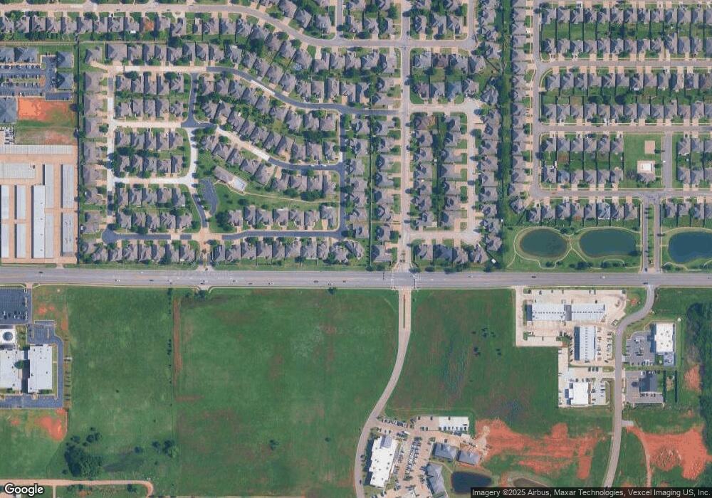
Map
Nearby Homes
- 12501 Sugar Loaf Dr
- 12505 Sugar Loaf Dr
- 2629 NW 152nd St
- 2801 NW 154th St
- 15500 Blue Mesa Dr
- 15517 Juniper Dr
- 2333 NW 153rd St
- 2320 NW 151st St
- 2300 NW 155th St
- 2804 NW 158th St
- 2628 NW 159th St
- 2801 NW 158th St
- 2613 NW 159th St
- 2309 NW 157th Terrace
- 16401 N May Ave
- 2701 NW 160th St
- 15613 Via Sierra
- 15712 NW 157th Dr
- 2909 NW 160th St
- 2212 NW 158th St
- 2604 NW 151st St
- 15200 Shadow Mountain Dr
- 15101 Sugar Loaf Dr
- 15105 Sugar Loaf Dr
- 2608 NW 151st St
- 15204 Shadow Mountain Dr
- 15201 Sugar Loaf Dr
- 2609 NW 151st St
- 2612 NW 151st St
- 15208 Shadow Mountain Dr
- 2613 NW 151st St
- 15205 Sugar Loaf Dr
- 2512 NW 151st St
- 2616 NW 151st St
- 2612 NW 152nd St
- 2617 NW 151st St
- 15200 Sugar Loaf Dr
- 15209 Sugar Loaf Dr
- 2616 NW 152nd St
- 15204 Sugar Loaf Dr