2600 Pawprint Path Placerville, CA 95667
Estimated Value: $572,000 - $777,887
3
Beds
4
Baths
2,018
Sq Ft
$349/Sq Ft
Est. Value
About This Home
This home is located at 2600 Pawprint Path, Placerville, CA 95667 and is currently estimated at $704,629, approximately $349 per square foot. 2600 Pawprint Path is a home located in El Dorado County with nearby schools including Sutter's Mill Elementary School, Gold Trail School, and El Dorado High School.
Ownership History
Date
Name
Owned For
Owner Type
Purchase Details
Closed on
Nov 28, 2001
Sold by
Justice William H and Justice Velma J
Bought by
Hill Christopher and Hill Cynthia
Current Estimated Value
Home Financials for this Owner
Home Financials are based on the most recent Mortgage that was taken out on this home.
Original Mortgage
$93,750
Interest Rate
6.51%
Purchase Details
Closed on
Aug 25, 1997
Sold by
Calfee David W Iii Tr and Calfee Kent N Tr
Bought by
Justice William H and Justice Velma J
Create a Home Valuation Report for This Property
The Home Valuation Report is an in-depth analysis detailing your home's value as well as a comparison with similar homes in the area
Home Values in the Area
Average Home Value in this Area
Purchase History
| Date | Buyer | Sale Price | Title Company |
|---|---|---|---|
| Hill Christopher | $125,000 | Fidelity National Title Co | |
| Justice William H | -- | North American Title Co |
Source: Public Records
Mortgage History
| Date | Status | Borrower | Loan Amount |
|---|---|---|---|
| Previous Owner | Hill Christopher | $93,750 |
Source: Public Records
Tax History
| Year | Tax Paid | Tax Assessment Tax Assessment Total Assessment is a certain percentage of the fair market value that is determined by local assessors to be the total taxable value of land and additions on the property. | Land | Improvement |
|---|---|---|---|---|
| 2025 | $4,943 | $470,000 | $101,000 | $369,000 |
| 2024 | $4,943 | $470,000 | $101,000 | $369,000 |
| 2023 | $4,919 | $470,000 | $101,000 | $369,000 |
| 2022 | $5,034 | $470,000 | $101,000 | $369,000 |
| 2021 | $4,988 | $470,000 | $101,000 | $369,000 |
| 2020 | $4,970 | $470,000 | $101,000 | $369,000 |
| 2019 | $4,989 | $470,000 | $101,000 | $369,000 |
| 2018 | $4,939 | $470,000 | $101,000 | $369,000 |
| 2017 | $4,949 | $470,000 | $101,000 | $369,000 |
| 2016 | $4,855 | $459,626 | $153,126 | $306,500 |
| 2015 | $4,231 | $400,000 | $120,000 | $280,000 |
| 2014 | $4,231 | $400,000 | $120,000 | $280,000 |
Source: Public Records
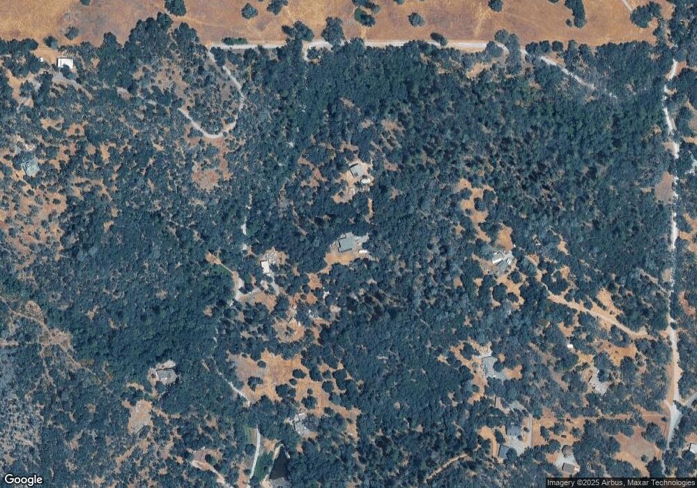
Map
Nearby Homes
- 1110 Trails End Dr
- 1363 Crooked Mile Ct
- 1285 Sierra East Ct
- 4371 Luneman Rd
- 4740 Glory View Dr
- 5050 Glory View Dr
- 0 Rossler Rd
- 4644 Bakers Mountain Rd
- 3815 Lakeview Dr
- 1700 Shadydale Ln
- 5 Jurgens Rd
- 7 Jurgens Rd
- 8 Jurgens Rd
- 6 Jurgens Rd
- 555 Jurgens Rd
- 6400 State Highway 49
- 994 Lotus Rd
- 7162 Amoloc Ln
- 7101 Amoloc Ln
- 4890 Thompson Hill Rd
- 0 Pawprint Path
- 1210 Old Rock Bridge Rd
- 2530 Pawprint Path
- 200 Utopia Ct
- 2585 Pawprint Path
- 2587 Pawprint Path
- 220 Utopia Ct
- 1234 Old Rock Bridge Rd
- 3 Becerra Ct
- 1 Becerra Ct
- 0 Becerra Ct
- Lot Becerra Ct
- 1240 Old Rock Bridge Rd
- 2700 Pawprint Path
- 2535 Pawprint Path
- 2537 Pawprint Path
- 1105 Burnt Shanty Creek Rd
- 1105 Burnt Shanty Creek Rd
- 1401 Cougar Track Dr
- 1320 Sir Johns Hill Rd
Your Personal Tour Guide
Ask me questions while you tour the home.