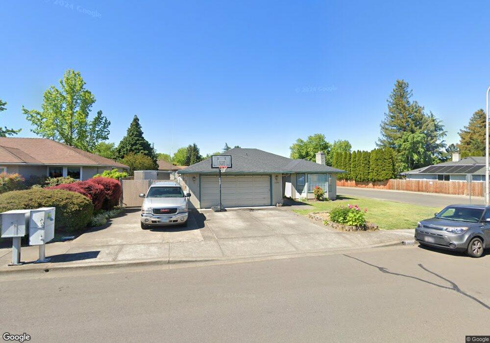
2600 Roberts Rd Medford, OR 97504
Lawnview NeighborhoodEstimated Value: $438,868 - $488,000
3
Beds
2
Baths
1,779
Sq Ft
$261/Sq Ft
Est. Value
About This Home
This home is located at 2600 Roberts Rd, Medford, OR 97504 and is currently estimated at $463,467, approximately $260 per square foot. 2600 Roberts Rd is a home located in Jackson County with nearby schools including Lone Pine Elementary School, Hedrick Middle School, and North Medford High School.
Ownership History
Date
Name
Owned For
Owner Type
Purchase Details
Closed on
Dec 30, 2021
Sold by
Sherfey Pamela K
Bought by
Sherfey Dwayne J and Sherfey Pamela K
Current Estimated Value
Purchase Details
Closed on
Dec 22, 2021
Sold by
Sherfey Pamela K
Bought by
Sherfey Pamela K
Purchase Details
Closed on
Oct 23, 2007
Sold by
Bauer George K and Bauer Mary F
Bought by
Bauer George K and Bauer Mary F
Create a Home Valuation Report for This Property
The Home Valuation Report is an in-depth analysis detailing your home's value as well as a comparison with similar homes in the area
Home Values in the Area
Average Home Value in this Area
Purchase History
| Date | Buyer | Sale Price | Title Company |
|---|---|---|---|
| Sherfey Dwayne J | -- | None Listed On Document | |
| Sherfey Pamela K | $176,225 | None Listed On Document | |
| Sherfey Pamela K | -- | None Listed On Document | |
| Bauer George K | -- | None Available |
Source: Public Records
Tax History Compared to Growth
Tax History
| Year | Tax Paid | Tax Assessment Tax Assessment Total Assessment is a certain percentage of the fair market value that is determined by local assessors to be the total taxable value of land and additions on the property. | Land | Improvement |
|---|---|---|---|---|
| 2025 | $3,963 | $273,260 | $121,560 | $151,700 |
| 2024 | $3,963 | $265,310 | $118,020 | $147,290 |
| 2023 | $3,842 | $257,590 | $114,580 | $143,010 |
| 2022 | $3,748 | $257,590 | $114,580 | $143,010 |
| 2021 | $3,651 | $250,090 | $111,240 | $138,850 |
| 2020 | $3,574 | $242,810 | $108,000 | $134,810 |
| 2019 | $3,490 | $228,880 | $101,800 | $127,080 |
| 2018 | $3,400 | $222,220 | $98,840 | $123,380 |
| 2017 | $3,339 | $222,220 | $98,840 | $123,380 |
| 2016 | $3,361 | $209,470 | $93,170 | $116,300 |
| 2015 | $3,230 | $209,470 | $93,170 | $116,300 |
| 2014 | $3,173 | $197,450 | $87,820 | $109,630 |
Source: Public Records
Map
Nearby Homes
- 2556 Waters Edge Way
- 2575 Roberts Rd
- 1896 Canyon Ave
- 1869 Canyon Ave
- 1928 Hannah Ln
- 2784 Roberts Rd
- 2777 Roberts Rd
- 2587 Hawaiian Ave
- 2736 Canterbury Ln
- 2961 Amblegreen Dr
- 2375 Temple Dr
- 2675 Kerrisdale Ridge Dr
- 2660 Hawaiian Ave
- 1258 Paulita Dr
- 2616 Stonebrook Dr
- 3073 Ruby Dr
- 3079 Sycamore Way
- 2458 Sheffield Ct
- 2923 Wilkshire Dr
- 1501 Brookdale Ave
- 2610 Roberts Rd Unit 2
- 2642 Brookside Dr
- 2594 Roberts Rd
- 2620 Roberts Rd
- 2636 Brookside Dr
- 2651 Lawnview Dr
- 2601 Roberts Rd
- 2635 Brookside Dr
- 2595 Roberts Rd
- 2630 Roberts Rd
- 2624 Brookside Dr
- 2655 Lawnview Dr
- 1914 Bristol Dr
- 1922 Bristol Dr
- 2611 Brookside Dr
- 1906 Bristol Dr
- 2580 Roberts Rd
- 2629 Roberts Rd
- 2585 Roberts Rd
- 1930 Bristol Dr