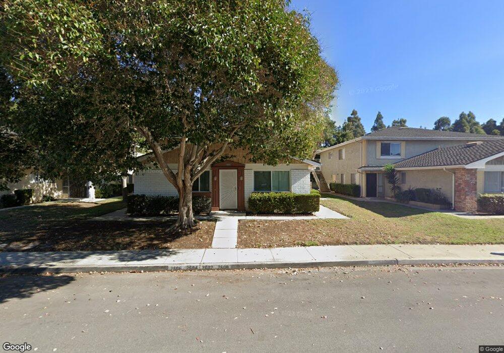
2600 Rudder Ave Unit 4 Port Hueneme, CA 93041
Estimated Value: $363,000 - $391,000
2
Beds
1
Bath
856
Sq Ft
$444/Sq Ft
Est. Value
About This Home
This home is located at 2600 Rudder Ave Unit 4, Port Hueneme, CA 93041 and is currently estimated at $380,400, approximately $444 per square foot. 2600 Rudder Ave Unit 4 is a home located in Ventura County with nearby schools including Marina West Elementary School, Oxnard High School, and St. Anthony's Elementary School.
Ownership History
Date
Name
Owned For
Owner Type
Purchase Details
Closed on
Mar 14, 1996
Sold by
Hud
Bought by
Lagunas Adrian C and Lagunas Maria E
Current Estimated Value
Home Financials for this Owner
Home Financials are based on the most recent Mortgage that was taken out on this home.
Original Mortgage
$54,900
Outstanding Balance
$2,234
Interest Rate
7.41%
Mortgage Type
FHA
Estimated Equity
$378,166
Purchase Details
Closed on
Sep 19, 1995
Sold by
Haun Diana J and Merrill Lynch Credit Corp
Bought by
Merrill Lynch Credit Corp
Create a Home Valuation Report for This Property
The Home Valuation Report is an in-depth analysis detailing your home's value as well as a comparison with similar homes in the area
Home Values in the Area
Average Home Value in this Area
Purchase History
| Date | Buyer | Sale Price | Title Company |
|---|---|---|---|
| Lagunas Adrian C | $55,000 | First American Title Ins Co | |
| Merrill Lynch Credit Corp | $88,406 | North American Title Co |
Source: Public Records
Mortgage History
| Date | Status | Borrower | Loan Amount |
|---|---|---|---|
| Open | Lagunas Adrian C | $54,900 |
Source: Public Records
Tax History Compared to Growth
Tax History
| Year | Tax Paid | Tax Assessment Tax Assessment Total Assessment is a certain percentage of the fair market value that is determined by local assessors to be the total taxable value of land and additions on the property. | Land | Improvement |
|---|---|---|---|---|
| 2025 | $1,084 | $91,331 | $36,530 | $54,801 |
| 2024 | $1,084 | $89,541 | $35,814 | $53,727 |
| 2023 | $1,055 | $87,786 | $35,112 | $52,674 |
| 2022 | $1,015 | $86,065 | $34,423 | $51,642 |
| 2021 | $994 | $84,378 | $33,748 | $50,630 |
| 2020 | $982 | $83,515 | $33,403 | $50,112 |
| 2019 | $970 | $81,879 | $32,749 | $49,130 |
| 2018 | $960 | $80,274 | $32,107 | $48,167 |
| 2017 | $909 | $78,701 | $31,478 | $47,223 |
| 2016 | $893 | $77,159 | $30,861 | $46,298 |
| 2015 | $867 | $76,002 | $30,399 | $45,603 |
| 2014 | -- | $74,514 | $29,804 | $44,710 |
Source: Public Records
Map
Nearby Homes
- 2633 Barnacle Cove
- 701 Halyard St
- 676 Pacific Cove Dr
- 541 Broderick Way
- 469 Corvette St
- 3644 Islander Walk
- 422 Las Palomas Dr
- 2622 Captains Ave
- 438 Las Palomas Dr
- 426 Reed Way
- 2230 Monaco Dr
- 2014 Napoli Dr
- 2141 Napoli Dr
- 2524 Monaco Dr
- 2755 Bolker Dr Unit A
- 2110 Ravoli Dr
- 3960 W Hemlock St
- 4000 Romany Dr
- 2732 Bolker Dr
- 3630 Miramar Way
- 2602 Rudder Ave
- 2606 Rudder Ave
- 2604 Rudder Ave
- 2604 Rudder Ave Unit 1
- 2610 Rudder Ave
- 2594 Rudder Ave
- 2616 Rudder Ave Unit 4
- 2616 Rudder Ave
- 2596 Rudder Ave
- 2612 Rudder Ave
- 2614 Rudder Ave Unit 2
- 2614 Rudder Ave
- 2592 Rudder Ave
- 2590 Rudder Ave
- 2622 Rudder Ave
- 2586 Rudder Ave
- 2620 Rudder Ave Unit 4
- 2620 Rudder Ave
- 2580 Rudder Ave
- 2624 Rudder Ave