Estimated Value: $347,000 - $383,000
--
Bed
1
Bath
2,338
Sq Ft
$157/Sq Ft
Est. Value
About This Home
This home is located at 2600 Tanoa Ridge Rd, Paron, AR 72122 and is currently estimated at $366,652, approximately $156 per square foot. 2600 Tanoa Ridge Rd is a home with nearby schools including Bethel Middle School, Bryant Middle School, and Bryant High School.
Ownership History
Date
Name
Owned For
Owner Type
Purchase Details
Closed on
Mar 27, 1995
Bought by
Fisher
Current Estimated Value
Purchase Details
Closed on
Jan 26, 1994
Bought by
Amason
Create a Home Valuation Report for This Property
The Home Valuation Report is an in-depth analysis detailing your home's value as well as a comparison with similar homes in the area
Home Values in the Area
Average Home Value in this Area
Purchase History
| Date | Buyer | Sale Price | Title Company |
|---|---|---|---|
| Fisher | $9,000 | -- | |
| Amason | $25,000 | -- |
Source: Public Records
Tax History Compared to Growth
Tax History
| Year | Tax Paid | Tax Assessment Tax Assessment Total Assessment is a certain percentage of the fair market value that is determined by local assessors to be the total taxable value of land and additions on the property. | Land | Improvement |
|---|---|---|---|---|
| 2025 | $1,784 | $38,190 | $1,919 | $36,271 |
| 2024 | $1,663 | $38,190 | $1,919 | $36,271 |
| 2023 | $1,413 | $38,190 | $1,919 | $36,271 |
| 2022 | $1,463 | $38,190 | $1,919 | $36,271 |
| 2021 | $1,475 | $42,280 | $2,920 | $39,360 |
| 2020 | $1,475 | $42,280 | $2,920 | $39,360 |
| 2019 | $1,475 | $42,280 | $2,920 | $39,360 |
| 2018 | $1,500 | $42,280 | $2,920 | $39,360 |
| 2017 | $1,500 | $42,280 | $2,920 | $39,360 |
| 2016 | $1,672 | $36,240 | $3,000 | $33,240 |
| 2015 | $1,385 | $36,240 | $3,000 | $33,240 |
| 2014 | $1,325 | $32,260 | $3,000 | $29,260 |
Source: Public Records
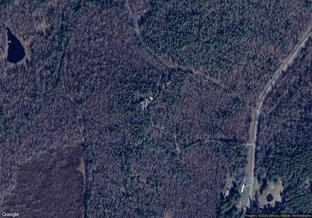
Map
Nearby Homes
- 00 Horseshoe Mountain Rd
- 25000 Hub Rd
- 24234 Dreamy Oaks Dr
- 24124 Modlin Ln
- 19300 Lake Winona Rd
- 2110 Brush Mountain Trail
- 00 Brush Mountain Trail
- Lot 7,8,9 Turkey Trail
- 16471 Thomas Loop Rd
- 000 Highway 9
- 000 Chock Rd
- 4300 Deer Dr
- Lot 34 & 35 Brushmountain Trail
- 0 Kanis Rd Unit 25015532
- 6400 Whipporwill Dr
- 6413 Whipporwill Dr
- 8814 Matt Daniels Ln
- 6407 Whipporwill Dr
- 6408 Whipporwill Dr
- 6100 Chickadee Dr
- 13740 12th St
- 23206 Alex Acres
- 13734 12th St
- 180 Southern Oaks Dr
- 13825 12th St
- 2041 W Mountain Rd
- 12601 Cave Creek Rd
- 000 Cave Creek Rd
- 22515 Wildman Trail
- 14511 12th St
- 14511 12th St
- 23000 Horseshoe Mountain Rd
- 00 12th St
- 10605 12th St
- ..... 12th St
- 0 12th St Unit 18017463
- 000 12th St
- 0 Twelfth St Unit 16015425
- 0 Twelfth St Unit 16031716
- 0 Twelfth St Unit 17005504