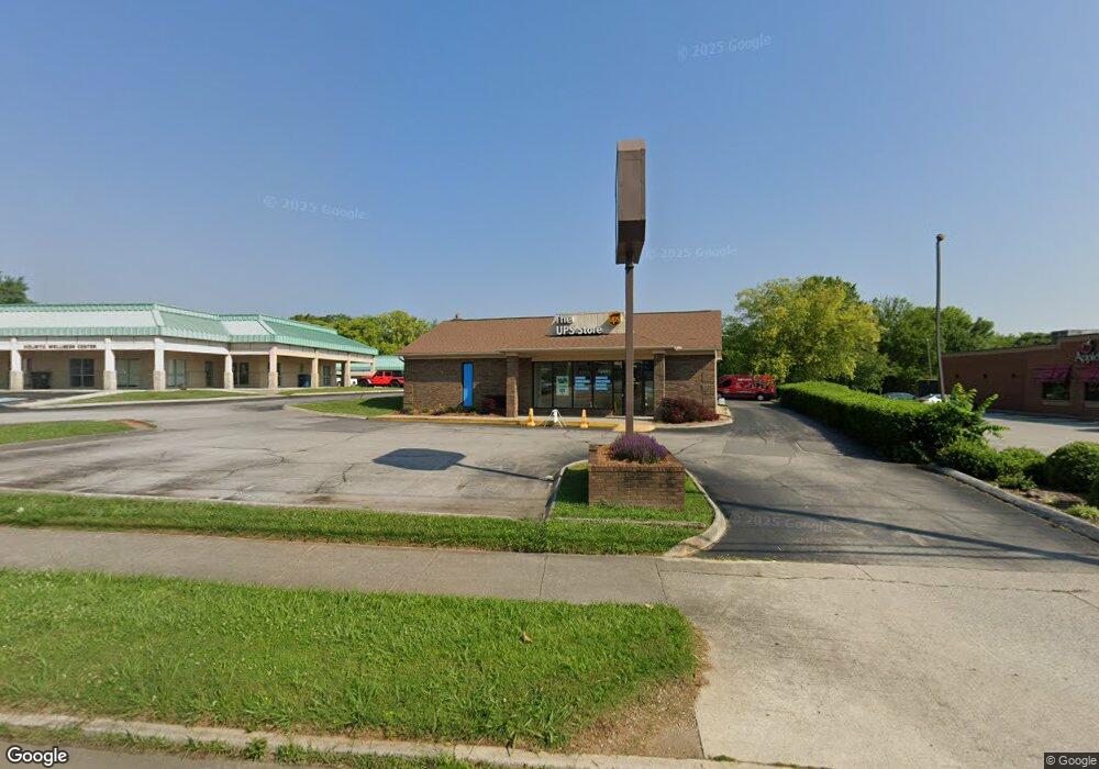
2600 W Andrew Johnson Hwy Morristown, TN 37814
Estimated Value: $3,036,028
--
Bed
6
Baths
76,100
Sq Ft
$40/Sq Ft
Est. Value
About This Home
This home is located at 2600 W Andrew Johnson Hwy, Morristown, TN 37814 and is currently estimated at $3,036,028, approximately $39 per square foot. 2600 W Andrew Johnson Hwy is a home located in Hamblen County with nearby schools including Manley Elementary School, West View Middle School, and Morristown West High School.
Ownership History
Date
Name
Owned For
Owner Type
Purchase Details
Closed on
May 23, 2014
Sold by
Coca Cola Refreshments Usa
Bought by
Ccbcc Operations Llc
Current Estimated Value
Purchase Details
Closed on
Nov 4, 1969
Bought by
Roddy Manufacturing Co
Purchase Details
Closed on
Dec 8, 1965
Bought by
Roddy Coca-Cola Bottling Co Inc Atn
Create a Home Valuation Report for This Property
The Home Valuation Report is an in-depth analysis detailing your home's value as well as a comparison with similar homes in the area
Home Values in the Area
Average Home Value in this Area
Purchase History
| Date | Buyer | Sale Price | Title Company |
|---|---|---|---|
| Ccbcc Operations Llc | $1,254,340 | -- | |
| Ccbcc Operations Llc | -- | -- | |
| Roddy Manufacturing Co | -- | -- | |
| Roddy Coca-Cola Bottling Co Inc Atn | -- | -- |
Source: Public Records
Tax History Compared to Growth
Tax History
| Year | Tax Paid | Tax Assessment Tax Assessment Total Assessment is a certain percentage of the fair market value that is determined by local assessors to be the total taxable value of land and additions on the property. | Land | Improvement |
|---|---|---|---|---|
| 2024 | $11,026 | $626,480 | $210,040 | $416,440 |
| 2023 | $11,026 | $626,480 | $0 | $0 |
| 2022 | $19,797 | $626,480 | $210,040 | $416,440 |
| 2021 | $19,797 | $626,480 | $210,040 | $416,440 |
| 2020 | $19,770 | $626,480 | $210,040 | $416,440 |
| 2019 | $20,318 | $597,600 | $210,040 | $387,560 |
| 2018 | $18,824 | $597,600 | $210,040 | $387,560 |
| 2017 | $18,525 | $597,600 | $210,040 | $387,560 |
| 2016 | $17,689 | $597,600 | $210,040 | $387,560 |
| 2015 | $16,458 | $597,600 | $210,040 | $387,560 |
| 2014 | -- | $597,600 | $210,040 | $387,560 |
| 2013 | -- | $665,080 | $0 | $0 |
Source: Public Records
Map
Nearby Homes
- 2454 Sandstone Dr
- 2444 Sandstone Dr
- 2430 Sandstone Dr
- 2310 Sandstone Dr
- 2045 N Economy Rd Unit A3
- 700 Drinnon Dr
- 729 Amanda Harrison Ct
- 3113 Wilshire Blvd
- 801 Colonial Dr
- 2020 N Economy Rd
- 2978 Wilshire Blvd
- 707 Walters Dr
- 3475 Walden Dr
- 3471 Walden Dr
- 941 Heykoop Dr
- 1033 Walters Dr
- 1620 Evergreen Dr
- 1530 Rayburn Dr
- 1442 Darbee Dr
- 1476 Darbee Dr
- 2611 W Andrew Johnson Hwy
- 2613 W Andrew Johnson Hwy
- 118 Barker Rd
- 2509 W Andrew Johnson Hwy
- 2709 W Andrew Johnson Hwy
- 117 Barker Rd
- 2606 W Andrew Johnson Hwy
- 2640 W Andrew Johnson Hwy
- 2715 W Andrew Johnson Hwy
- 103 Barker Rd
- 2737 W Andrew Johnson Hwy
- 2747 W Andrew Johnson Hwy
- 2401 W Andrew Johnson Hwy
- 2412 W Andrew Johnson Hwy
- 2412 W Andrew Johnson Hwy Unit Suite B
- 2771 W Andrew Johnson Hwy
- 2307 W Andrew Johnson Hwy
- 2304 W Andrew Johnson Hwy
- 2808 W Andrew Johnson Hwy
- 2811 W Andrew Johnson Hwy