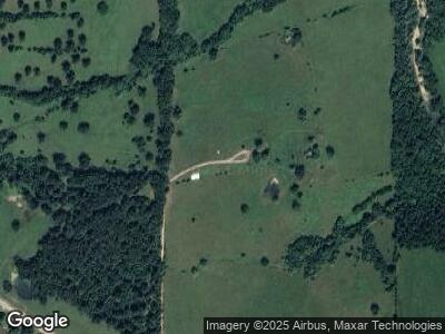
26001 Highway U Crocker, MO 65452
Estimated Value: $364,000 - $500,000
--
Bed
1
Bath
3,672
Sq Ft
$116/Sq Ft
Est. Value
About This Home
This home is located at 26001 Highway U, Crocker, MO 65452 and is currently estimated at $427,550, approximately $116 per square foot. 26001 Highway U is a home with nearby schools including Crocker Elementary School and Crocker High School.
Ownership History
Date
Name
Owned For
Owner Type
Purchase Details
Closed on
Feb 27, 2006
Sold by
Lawrence Eula
Bought by
Newton Aaron and Newton Annabelle
Current Estimated Value
Home Financials for this Owner
Home Financials are based on the most recent Mortgage that was taken out on this home.
Original Mortgage
$140,000
Interest Rate
6.32%
Mortgage Type
New Conventional
Purchase Details
Closed on
Feb 23, 2006
Sold by
Lawrence Eula
Bought by
Newton Aaron and Newton Anna Belle
Home Financials for this Owner
Home Financials are based on the most recent Mortgage that was taken out on this home.
Original Mortgage
$140,000
Interest Rate
6.32%
Mortgage Type
New Conventional
Create a Home Valuation Report for This Property
The Home Valuation Report is an in-depth analysis detailing your home's value as well as a comparison with similar homes in the area
Home Values in the Area
Average Home Value in this Area
Purchase History
| Date | Buyer | Sale Price | Title Company |
|---|---|---|---|
| Newton Aaron | -- | -- | |
| Newton Aaron | -- | None Available |
Source: Public Records
Mortgage History
| Date | Status | Borrower | Loan Amount |
|---|---|---|---|
| Open | Newton Aaron J | $240,000 | |
| Closed | Newton Aaron J | $30,357 | |
| Closed | Newton Aaron J | $203,200 | |
| Closed | Newton Aaron J | $140,000 |
Source: Public Records
Tax History Compared to Growth
Tax History
| Year | Tax Paid | Tax Assessment Tax Assessment Total Assessment is a certain percentage of the fair market value that is determined by local assessors to be the total taxable value of land and additions on the property. | Land | Improvement |
|---|---|---|---|---|
| 2024 | $2,475 | $59,102 | $4,180 | $54,922 |
| 2023 | $2,430 | $59,102 | $4,180 | $54,922 |
| 2022 | $2,432 | $59,102 | $4,180 | $54,922 |
| 2021 | $2,432 | $59,102 | $4,180 | $54,922 |
| 2020 | $2,336 | $43,860 | $0 | $0 |
| 2019 | $2,336 | $56,487 | $0 | $0 |
| 2018 | $2,335 | $56,487 | $0 | $0 |
| 2017 | $2,333 | $43,860 | $0 | $0 |
| 2016 | $2,333 | $56,490 | $0 | $0 |
| 2015 | -- | $56,490 | $0 | $0 |
| 2014 | $2,317 | $56,490 | $0 | $0 |
Source: Public Records
Map
Nearby Homes
- 29601 Bear Rd
- 283 Broken Post
- TBD Highway U
- 0 Highway U Unit 10070038
- 96 Kinderhook County Rd
- 31 Bluestem Rd
- 163 Mulberry Rd
- 0 Missouri 17
- 8 Highway K
- 27251 Bloomfield Ln
- 0 Bloomfield Unit 22424954
- 41 Highway K
- 000 County Road A-100
- 411 11th St
- 38 Pemberton Ln
- 607 W School St
- 1281 State Highway 42
- 13407 Highway 17
- 115 College St
- 13387 Highway 17
- 26001 Highway U
- 11710 Blunt Rd
- 12075 Blunt Rd
- 26875 Highway U
- 28991 Highway U
- 12209 Blunt Rd
- 29250 Highway U
- 28460 Boone Rd
- 28815 Highway U
- 28455 Boone Rd
- 28724 Highway U
- 29427 Highway U
- 29370 Highway U
- 28850 Highway U
- 28670 Highway U
- 12353 Highway Kk
- 29474 Boone Rd
- 28505 Highway U
- 29566 Boone Rd
- 12765 Buckeye Rd
