26002 151st St Leavenworth, KS 66048
Estimated Value: $407,000 - $521,148
3
Beds
2
Baths
1,782
Sq Ft
$268/Sq Ft
Est. Value
About This Home
This home is located at 26002 151st St, Leavenworth, KS 66048 and is currently estimated at $477,716, approximately $268 per square foot. 26002 151st St is a home located in Leavenworth County with nearby schools including Lansing Elementary School, Lansing Middle 6-8, and Lansing High 9-12.
Ownership History
Date
Name
Owned For
Owner Type
Purchase Details
Closed on
Jul 16, 2014
Sold by
Cop Milan J and Cop Cynthia L
Bought by
Lemke Glen A and Lemke Patricia L
Current Estimated Value
Home Financials for this Owner
Home Financials are based on the most recent Mortgage that was taken out on this home.
Original Mortgage
$236,000
Outstanding Balance
$179,829
Interest Rate
4.17%
Mortgage Type
New Conventional
Estimated Equity
$297,887
Create a Home Valuation Report for This Property
The Home Valuation Report is an in-depth analysis detailing your home's value as well as a comparison with similar homes in the area
Home Values in the Area
Average Home Value in this Area
Purchase History
| Date | Buyer | Sale Price | Title Company |
|---|---|---|---|
| Lemke Glen A | $295,000 | Premier Title Co |
Source: Public Records
Mortgage History
| Date | Status | Borrower | Loan Amount |
|---|---|---|---|
| Open | Lemke Glen A | $236,000 |
Source: Public Records
Tax History Compared to Growth
Tax History
| Year | Tax Paid | Tax Assessment Tax Assessment Total Assessment is a certain percentage of the fair market value that is determined by local assessors to be the total taxable value of land and additions on the property. | Land | Improvement |
|---|---|---|---|---|
| 2025 | $4,409 | $40,720 | $8,694 | $32,026 |
| 2024 | $4,202 | $39,141 | $7,954 | $31,187 |
| 2023 | $4,202 | $38,904 | $7,933 | $30,971 |
| 2022 | $3,962 | $35,359 | $6,800 | $28,559 |
| 2021 | $3,662 | $32,222 | $5,909 | $26,313 |
| 2020 | $3,459 | $29,943 | $5,662 | $24,281 |
| 2019 | $3,361 | $29,046 | $5,056 | $23,990 |
| 2018 | $3,252 | $28,134 | $8,497 | $19,637 |
| 2017 | $3,049 | $26,542 | $8,428 | $18,114 |
| 2016 | $2,957 | $25,790 | $8,442 | $17,348 |
| 2015 | $2,525 | $22,158 | $8,442 | $13,716 |
| 2014 | $2,737 | $24,417 | $9,850 | $14,567 |
Source: Public Records
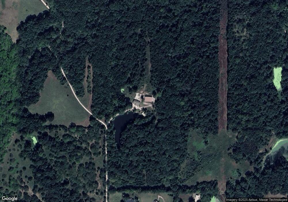
Map
Nearby Homes
- 77 Continental Dr
- 73 Continental Dr
- 000 4-H Rd
- 610 Meadowlark Rd
- 811 4-H Rd
- 542 Creekside Ct
- 624 S Bittersweet Ln
- 527 S Valley Dr
- 1013 Sycamore Ridge Dr
- 722 Bittersweet Rd
- 415 Fairlane St
- 922 Southfork St
- 512 Fairlane St
- 1221 S Desoto Rd
- 319 Holiday Dr
- 202 S Main St
- 124 S Main St
- 261 Holiday Dr
- 00000 Gilman Rd
- 268 Holiday Dr
- Lot 1 151st St
- 15036 Hillside Rd
- 15020 Hillside Rd
- 14970 Hillside Rd
- 25761 151st St
- 26033 147th St
- 14814 Hillside Rd
- 26001 151st St
- 26154 155th St
- 991 W Mary St
- 409 S Desoto Rd
- 14752 Hillside Rd
- 501 S Desoto Rd
- 507 S Desoto Rd
- 515 S Desoto Rd
- 25994 155th St
- 521 S Desoto Rd
- 26152 155th St
- 14721 Hillside Rd
- 26317 147th St