26003 155th St Leavenworth, KS 66048
Estimated Value: $393,000 - $494,391
3
Beds
3
Baths
1,624
Sq Ft
$268/Sq Ft
Est. Value
About This Home
This home is located at 26003 155th St, Leavenworth, KS 66048 and is currently estimated at $435,464, approximately $268 per square foot. 26003 155th St is a home located in Leavenworth County with nearby schools including Lansing Elementary School, Lansing Middle 6-8, and Lansing High 9-12.
Ownership History
Date
Name
Owned For
Owner Type
Purchase Details
Closed on
Dec 18, 2018
Sold by
Lamborn Paul E and Lamborn Debra D
Bought by
Cal Enterprises Llc
Current Estimated Value
Purchase Details
Closed on
Aug 20, 2018
Sold by
Lamborn Paul E and Lamborn Debra D
Bought by
Lamborn Paul E and Lamborn Debra D
Purchase Details
Closed on
Nov 1, 1988
Bought by
Lamborn Paul E
Home Financials for this Owner
Home Financials are based on the most recent Mortgage that was taken out on this home.
Original Mortgage
$928,000
Interest Rate
10.22%
Mortgage Type
New Conventional
Create a Home Valuation Report for This Property
The Home Valuation Report is an in-depth analysis detailing your home's value as well as a comparison with similar homes in the area
Home Values in the Area
Average Home Value in this Area
Purchase History
| Date | Buyer | Sale Price | Title Company |
|---|---|---|---|
| Cal Enterprises Llc | -- | None Listed On Document | |
| Lamborn Paul E | -- | None Listed On Document | |
| Lamborn Paul E | $150,000 | -- |
Source: Public Records
Mortgage History
| Date | Status | Borrower | Loan Amount |
|---|---|---|---|
| Previous Owner | Lamborn Paul E | $928,000 |
Source: Public Records
Tax History Compared to Growth
Tax History
| Year | Tax Paid | Tax Assessment Tax Assessment Total Assessment is a certain percentage of the fair market value that is determined by local assessors to be the total taxable value of land and additions on the property. | Land | Improvement |
|---|---|---|---|---|
| 2025 | $5,388 | $49,277 | $6,571 | $42,706 |
| 2024 | $4,894 | $47,500 | $6,267 | $41,233 |
| 2023 | $4,894 | $45,168 | $6,246 | $38,922 |
| 2022 | $4,223 | $37,635 | $5,381 | $32,254 |
| 2021 | $5,354 | $46,923 | $13,657 | $33,266 |
| 2020 | $5,076 | $43,755 | $13,156 | $30,599 |
| 2019 | $4,707 | $40,521 | $12,034 | $28,487 |
| 2018 | $4,110 | $35,449 | $9,078 | $26,371 |
| 2017 | $3,991 | $34,613 | $8,394 | $26,219 |
| 2016 | $3,590 | $31,217 | $8,321 | $22,896 |
| 2015 | $3,647 | $31,836 | $8,312 | $23,524 |
| 2014 | $3,269 | $29,090 | $8,297 | $20,793 |
Source: Public Records
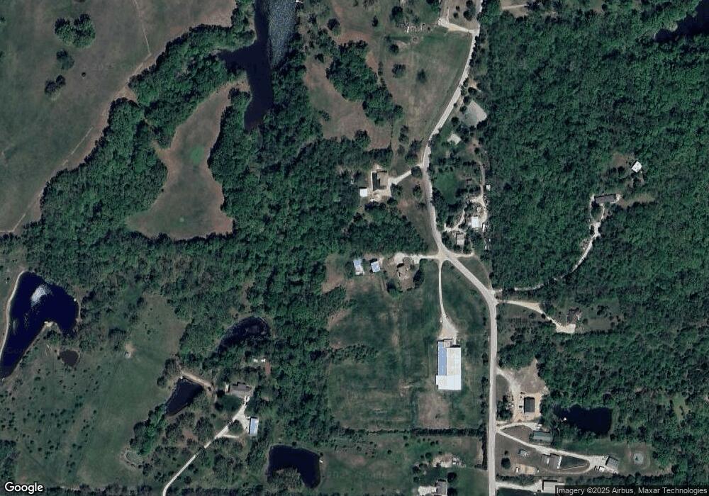
Map
Nearby Homes
- 00000 Gilman Rd
- Lot 6 163rd St
- 000 4-H Rd
- 77 Continental Dr
- 73 Continental Dr
- 811 4-H Rd
- 542 Creekside Ct
- 1221 S Desoto Rd
- 16430 Dana Ln
- 610 Meadowlark Rd
- 1013 Sycamore Ridge Dr
- 624 S Bittersweet Ln
- 15915 Eisenhower Rd
- 722 Bittersweet Rd
- 922 Southfork St
- 16055 W Eisenhower Rd
- 527 S Valley Dr
- 875 Clearview Dr
- 833 Rock Creek Dr
- 415 Fairlane St