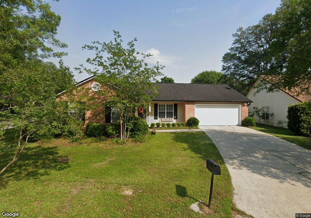
2601 Cotuit Ln Unit 28 Tallahassee, FL 32309
Killearn NeighborhoodEstimated Value: $293,036 - $306,000
3
Beds
2
Baths
1,374
Sq Ft
$219/Sq Ft
Est. Value
About This Home
This home is located at 2601 Cotuit Ln Unit 28, Tallahassee, FL 32309 and is currently estimated at $300,259, approximately $218 per square foot. 2601 Cotuit Ln Unit 28 is a home located in Leon County with nearby schools including DeSoto Trail Elementary School, William J. Montford III Middle School, and Lawton Chiles High School.
Ownership History
Date
Name
Owned For
Owner Type
Purchase Details
Closed on
Jun 11, 2021
Sold by
Burnette Ada
Bought by
Saxon Fred and Saxon Patricia
Current Estimated Value
Purchase Details
Closed on
Jul 29, 2008
Sold by
Hilaman Meg G and Brantley Meg Gunter
Bought by
Burnette Ada
Home Financials for this Owner
Home Financials are based on the most recent Mortgage that was taken out on this home.
Original Mortgage
$156,000
Interest Rate
6.37%
Mortgage Type
Purchase Money Mortgage
Create a Home Valuation Report for This Property
The Home Valuation Report is an in-depth analysis detailing your home's value as well as a comparison with similar homes in the area
Home Values in the Area
Average Home Value in this Area
Purchase History
| Date | Buyer | Sale Price | Title Company |
|---|---|---|---|
| Saxon Fred | $233,000 | Advantage Title Group Llc | |
| Burnette Ada | $195,000 | Attorney |
Source: Public Records
Mortgage History
| Date | Status | Borrower | Loan Amount |
|---|---|---|---|
| Previous Owner | Burnette Ada | $156,000 |
Source: Public Records
Tax History Compared to Growth
Tax History
| Year | Tax Paid | Tax Assessment Tax Assessment Total Assessment is a certain percentage of the fair market value that is determined by local assessors to be the total taxable value of land and additions on the property. | Land | Improvement |
|---|---|---|---|---|
| 2024 | $4,517 | $234,788 | $60,000 | $174,788 |
| 2023 | $4,263 | $219,243 | $0 | $0 |
| 2022 | $3,744 | $199,312 | $45,000 | $154,312 |
| 2021 | $3,247 | $169,175 | $36,000 | $133,175 |
| 2020 | $3,069 | $162,297 | $36,000 | $126,297 |
| 2019 | $1,653 | $128,423 | $0 | $0 |
| 2018 | $1,625 | $126,028 | $0 | $0 |
| 2017 | $1,598 | $123,436 | $0 | $0 |
| 2016 | $1,575 | $120,897 | $0 | $0 |
| 2015 | $1,562 | $120,057 | $0 | $0 |
| 2014 | $1,562 | $119,104 | $0 | $0 |
Source: Public Records
Map
Nearby Homes
- 2604 Yarmouth Ln
- 2681 Nantucket Ln
- 2987 Stony Brook Ct
- 2632 Nantucket Ln
- 4431 Sierra Ct
- 2978 Stony Brook Ct
- 2780 Kinsail Dr
- 4428 Siesta Ct
- 2672 Bantry Bay Dr
- 2935 Bayshore Dr
- 4076 Roscrea Dr
- 5000 Velda Dairy Rd
- 2921 Tewkesbury Trace
- 2959 Bay Shore Dr
- 5373 Appledore Ln
- 5356 Tewkesbury Trace
- 3013 Giles Place
- 4924 Heathe Dr
- 6448 Joe Cotton Trail Unit 9
- 3036 Ironwood Dr
- 2601 Cotuit Ln
- 2605 Cotuit Ln Unit 28
- 4458 Sierra Ct Unit 28
- 4458 Sierra Ct
- 4454 Sierra Ct
- 2609 Cotuit Ln
- 2601 Harwich Cir Unit 28
- 2601 Harwich Cir
- 2723 Kinsail Dr
- 4446 Sierra Ct Unit 28
- 4446 Sierra Ct
- 2604 Satinwood Cir
- 2605 Harwich Cir Unit 28
- 2605 Harwich Cir
- 4442 Sierra Ct
- 2721 Kinsail Dr
- 2604 Harwich Cir
- 2613 Cotuit Ln
- 4438 Sierra Ct
- 2609 Harwich Cir