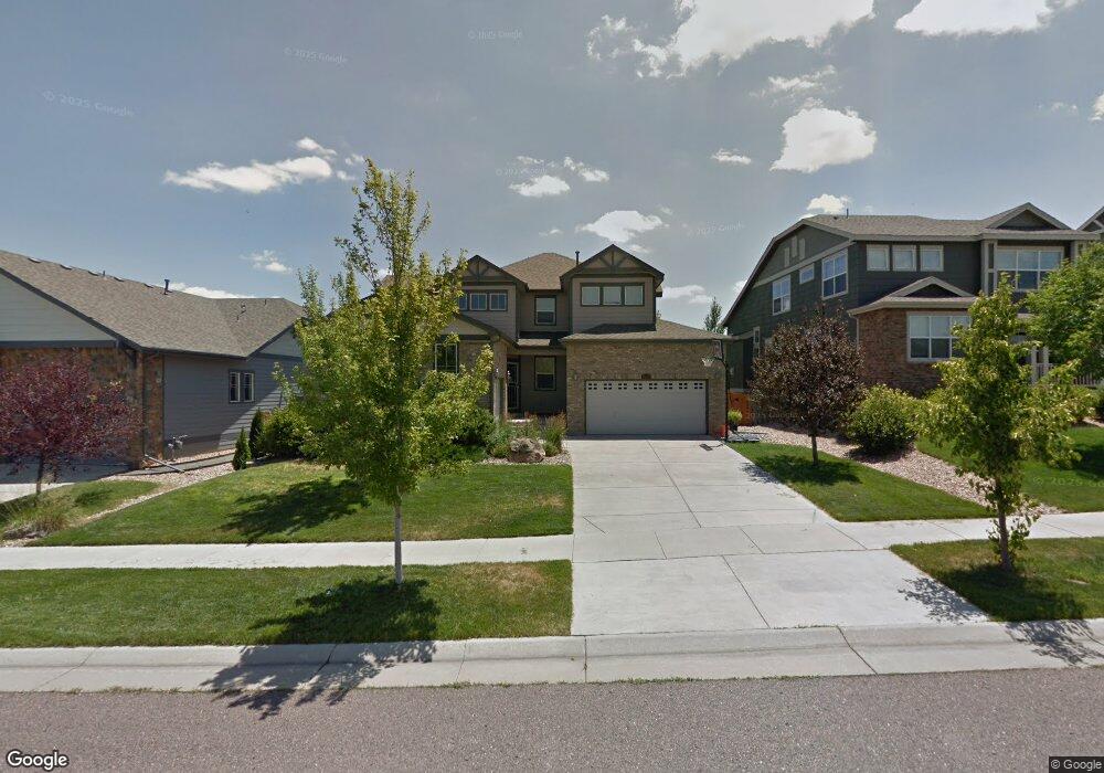
26010 E Euclid Dr Aurora, CO 80016
Southeast Aurora NeighborhoodEstimated Value: $692,916 - $718,000
4
Beds
6
Baths
2,526
Sq Ft
$279/Sq Ft
Est. Value
About This Home
This home is located at 26010 E Euclid Dr, Aurora, CO 80016 and is currently estimated at $703,729, approximately $278 per square foot. 26010 E Euclid Dr is a home located in Arapahoe County with nearby schools including Pine Ridge Elementary School, Infinity Middle School, and Cherokee Trail High School.
Ownership History
Date
Name
Owned For
Owner Type
Purchase Details
Closed on
Jan 30, 2006
Sold by
Lennar Colorado Llc
Bought by
Nelson Carl R and Nelson Farrah D
Current Estimated Value
Home Financials for this Owner
Home Financials are based on the most recent Mortgage that was taken out on this home.
Original Mortgage
$283,400
Outstanding Balance
$154,900
Interest Rate
6%
Mortgage Type
Fannie Mae Freddie Mac
Estimated Equity
$548,829
Create a Home Valuation Report for This Property
The Home Valuation Report is an in-depth analysis detailing your home's value as well as a comparison with similar homes in the area
Home Values in the Area
Average Home Value in this Area
Purchase History
| Date | Buyer | Sale Price | Title Company |
|---|---|---|---|
| Nelson Carl R | $354,270 | North American Title |
Source: Public Records
Mortgage History
| Date | Status | Borrower | Loan Amount |
|---|---|---|---|
| Open | Nelson Carl R | $283,400 |
Source: Public Records
Tax History
| Year | Tax Paid | Tax Assessment Tax Assessment Total Assessment is a certain percentage of the fair market value that is determined by local assessors to be the total taxable value of land and additions on the property. | Land | Improvement |
|---|---|---|---|---|
| 2025 | $6,688 | $44,288 | -- | -- |
| 2024 | $5,949 | $48,300 | -- | -- |
| 2023 | $5,949 | $48,300 | $0 | $0 |
| 2022 | $5,056 | $39,754 | $0 | $0 |
| 2021 | $5,070 | $39,754 | $0 | $0 |
| 2020 | $4,755 | $38,682 | $0 | $0 |
| 2019 | $4,657 | $38,682 | $0 | $0 |
| 2018 | $4,224 | $33,574 | $0 | $0 |
| 2017 | $4,189 | $33,574 | $0 | $0 |
| 2016 | $3,863 | $29,834 | $0 | $0 |
| 2015 | $3,751 | $29,834 | $0 | $0 |
| 2014 | -- | $25,106 | $0 | $0 |
| 2013 | -- | $25,130 | $0 | $0 |
Source: Public Records
Map
Nearby Homes
- 25994 E Peakview Place
- 6477 S Oak Hill Cir
- 6525 S Newcastle Way
- 6563 S Little River Way
- 6236 S Millbrook Way
- 26656 E Peakview Dr
- 6450 S Riverwood Ct
- 26201 E Davies Dr
- 25140 E Ottawa Dr
- 6835 S Robertsdale Way
- 6900 S Riverwood Way
- 25338 E Costilla Place
- 2132 S Irvington Ct
- 6484 S Harvest St
- 24880 E Euclid Place
- 24887 E Calhoun Place Unit C
- 6404 S Harvest St
- 6345 S Harvest St
- 25412 E Quarto Place
- 24702 E Hoover Place
- 25990 E Euclid Dr
- 26030 E Euclid Dr
- 26050 E Euclid Dr
- 25970 E Euclid Dr
- 2600 E Euclid Dr
- 25995 E Euclid Dr
- 26035 E Euclid Dr
- 26070 E Euclid Dr
- 25950 E Euclid Dr
- 25975 E Euclid Dr
- 26055 E Euclid Dr
- 26075 E Euclid Dr
- 26090 E Euclid Dr
- 25930 E Euclid Dr
- 6601 S Newbern St
- 26095 E Euclid Dr
- 25955 E Euclid Dr
- 25974 E Peakview Place
- 25954 E Peakview Place
- 25934 E Peakview Place