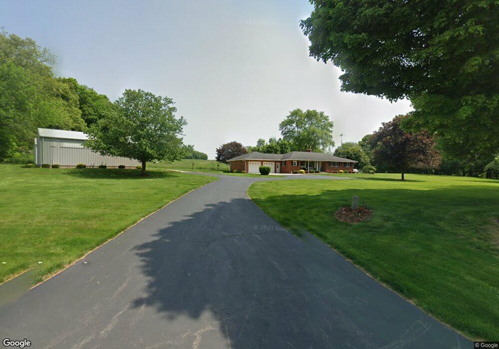
26015 Coshocton Rd Howard, OH 43028
Estimated Value: $295,000 - $405,029
3
Beds
3
Baths
1,476
Sq Ft
$234/Sq Ft
Est. Value
About This Home
This home is located at 26015 Coshocton Rd, Howard, OH 43028 and is currently estimated at $346,010, approximately $234 per square foot. 26015 Coshocton Rd is a home located in Knox County with nearby schools including East Knox Elementary School and East Knox High School.
Ownership History
Date
Name
Owned For
Owner Type
Purchase Details
Closed on
Nov 10, 2022
Sold by
Knight John A and Knight Barbara A
Bought by
Knight Barbara A
Current Estimated Value
Purchase Details
Closed on
Apr 10, 2002
Bought by
Knight John A and Knight Barbara A
Purchase Details
Closed on
Aug 15, 1994
Sold by
Carter Monna
Bought by
Carter Monna Trustee
Purchase Details
Closed on
May 4, 1993
Sold by
Carter Mervin C and Carter Monna
Bought by
Carter Monna
Create a Home Valuation Report for This Property
The Home Valuation Report is an in-depth analysis detailing your home's value as well as a comparison with similar homes in the area
Purchase History
| Date | Buyer | Sale Price | Title Company |
|---|---|---|---|
| Knight Barbara A | -- | -- | |
| Knight John A | $128,000 | -- | |
| Carter Monna Trustee | -- | -- | |
| Carter Monna | -- | -- |
Source: Public Records
Tax History
| Year | Tax Paid | Tax Assessment Tax Assessment Total Assessment is a certain percentage of the fair market value that is determined by local assessors to be the total taxable value of land and additions on the property. | Land | Improvement |
|---|---|---|---|---|
| 2024 | $3,372 | $103,140 | $20,370 | $82,770 |
| 2023 | $3,828 | $103,140 | $20,370 | $82,770 |
| 2022 | $2,987 | $71,130 | $14,050 | $57,080 |
| 2021 | $2,987 | $71,130 | $14,050 | $57,080 |
| 2020 | $2,849 | $71,130 | $14,050 | $57,080 |
| 2019 | $2,578 | $60,740 | $12,390 | $48,350 |
| 2018 | $2,418 | $60,740 | $12,390 | $48,350 |
| 2017 | $2,398 | $60,740 | $12,390 | $48,350 |
| 2016 | $2,219 | $56,240 | $11,470 | $44,770 |
| 2015 | $2,024 | $56,240 | $11,470 | $44,770 |
| 2014 | $1,932 | $56,240 | $11,470 | $44,770 |
| 2013 | $2,034 | $56,220 | $10,780 | $45,440 |
Source: Public Records
Map
Nearby Homes
- 13617 Millersburg Rd
- 13904 Carey Ln
- 12632 Howard Danville Rd
- 12440 Mary St
- 12449 Mary St
- 13356 Mowery Rd
- 14799 Millersburg Rd
- 106 W Rambo St
- 4053 Apple Valley Dr
- 4045 Apple Valley Dr Unit LOT 10
- 4045 Apple Valley Dr
- 228 E Walnut St
- 102 Cedar St
- 9 E South St
- 14119 Magers Rd
- 26367 Danville Amity Rd
- 202 Plum St
- 544 Grand Ridge Dr
- 0 Apple Valley Dr Unit 225009912
- 0 Apple Valley Dr Unit 5159791
- 11979 Carey Ln
- 25860 Coshocton Rd
- 25939 Coshocton Rd
- 25939 Coshocton Rd
- 11980 Carey Ln
- 26101 Coshocton Rd
- 26101 Coshocton Rd
- 11849 Mill St
- 11857 Mill St
- 26119 Coshocton Rd
- 26100 Coshocton Rd
- 11873 Mill St
- 11873 Mill St
- 26120 Coshocton Rd
- 26120 Coshocton Rd
- 11793 Mill St
- 11779 Mill St
- 11779 Mill St
- 26129 Coshocton Rd
- 11885 Mill St