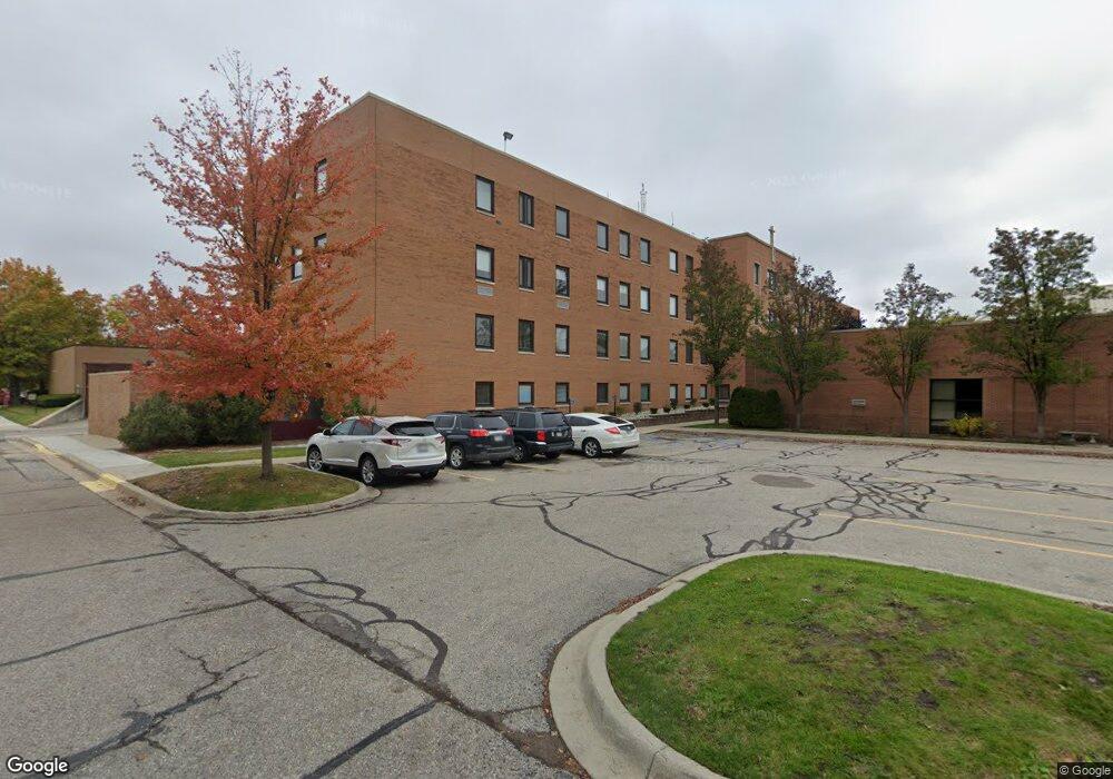
2603 Electric Ave Unit D Port Huron, MI 48060
Estimated Value: $363,375
--
Bed
--
Bath
2,800
Sq Ft
$130/Sq Ft
Est. Value
About This Home
This home is located at 2603 Electric Ave Unit D, Port Huron, MI 48060 and is currently estimated at $363,375, approximately $129 per square foot. 2603 Electric Ave Unit D is a home located in St. Clair County with nearby schools including Michigamme Elementary School, Central Middle School, and Port Huron High School.
Ownership History
Date
Name
Owned For
Owner Type
Purchase Details
Closed on
Mar 20, 2017
Sold by
Hmgi Properties Llc
Bought by
Port Huron Medical Property Llc
Current Estimated Value
Purchase Details
Closed on
Jun 1, 2007
Sold by
Lato Enterprises Lc
Bought by
H M G I Properties Llc
Purchase Details
Closed on
Jun 2, 2006
Sold by
Csh Medical Associates
Bought by
Lato Enterprises Lc
Create a Home Valuation Report for This Property
The Home Valuation Report is an in-depth analysis detailing your home's value as well as a comparison with similar homes in the area
Home Values in the Area
Average Home Value in this Area
Purchase History
| Date | Buyer | Sale Price | Title Company |
|---|---|---|---|
| Port Huron Medical Property Llc | $164,000 | None Available | |
| H M G I Properties Llc | $320,000 | None Available | |
| Lato Enterprises Lc | $250,000 | None Available |
Source: Public Records
Tax History Compared to Growth
Tax History
| Year | Tax Paid | Tax Assessment Tax Assessment Total Assessment is a certain percentage of the fair market value that is determined by local assessors to be the total taxable value of land and additions on the property. | Land | Improvement |
|---|---|---|---|---|
| 2025 | $6,321 | $120,600 | $0 | $0 |
| 2024 | $5,907 | $109,000 | $0 | $0 |
| 2023 | $5,594 | $108,300 | $0 | $0 |
| 2022 | $5,985 | $95,300 | $0 | $0 |
| 2021 | $5,844 | $93,500 | $0 | $0 |
| 2020 | $7,008 | $111,200 | $0 | $111,200 |
| 2019 | $7,011 | $122,800 | $0 | $0 |
| 2018 | $8,057 | $122,800 | $0 | $0 |
| 2017 | $6,819 | $120,900 | $0 | $0 |
| 2016 | $6,163 | $120,900 | $0 | $0 |
| 2015 | $6,048 | $114,500 | $39,200 | $75,300 |
| 2014 | $6,048 | $112,300 | $39,200 | $73,100 |
| 2013 | -- | $112,300 | $0 | $0 |
Source: Public Records
Map
Nearby Homes
- 1403 Catherine McAuley Dr
- 2411 10th St
- 2710 Electric Ave
- 2718 Electric Ave
- 1414 Beard St
- 2704 Military St
- 2724 Military St
- 2815 Military St
- 823 Beard St
- 2444 Military St
- 2430 Military St Unit 2434
- 913 Tunnel St
- 730 Jenkinson St
- 1112 Minnie St
- 1127 Minnie St
- 1319 Minnie St
- 831 Bancroft St
- 2977 Military St
- 1322 Division St
- 1309 Division St
- 2603 Electric Ave Unit 1
- 2603 Electric Ave Unit Bldg-Unit1
- 2603 Electric Ave
- 2603 Electric Ave
- 1133 Vanderburgh Place
- 1127 Vanderburgh Place
- 1127 Vanderburg Place
- 1123 Vanderburgh Place
- 2428 12th St
- 2600 13th St
- 1119 Vanderburgh Place
- 2422 12th St
- 2416 12th St
- 1109 Vanderburgh Place
- 1100 Vanderburgh Place
- 2429 11th St
- 2417 11th St
- 1134 Beard St
- 1128 Beard St
- 1124 Beard St