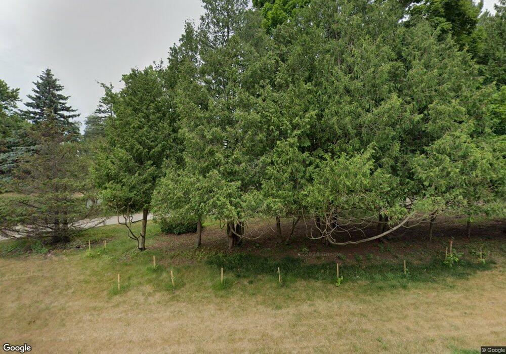
2603 Institute Rd SW Rochester, MN 55902
Estimated Value: $738,000 - $867,000
6
Beds
5
Baths
4,600
Sq Ft
$171/Sq Ft
Est. Value
About This Home
This home is located at 2603 Institute Rd SW, Rochester, MN 55902 and is currently estimated at $787,601, approximately $171 per square foot. 2603 Institute Rd SW is a home located in Olmsted County with nearby schools including Bamber Valley Elementary School, John Adams Middle School, and Mayo Senior High School.
Ownership History
Date
Name
Owned For
Owner Type
Purchase Details
Closed on
May 6, 2016
Sold by
Harreld Eileen F
Bought by
Washnieski Shane M and Washnieski Megan M
Current Estimated Value
Home Financials for this Owner
Home Financials are based on the most recent Mortgage that was taken out on this home.
Original Mortgage
$394,250
Outstanding Balance
$314,361
Interest Rate
3.71%
Mortgage Type
New Conventional
Estimated Equity
$473,240
Create a Home Valuation Report for This Property
The Home Valuation Report is an in-depth analysis detailing your home's value as well as a comparison with similar homes in the area
Home Values in the Area
Average Home Value in this Area
Purchase History
| Date | Buyer | Sale Price | Title Company |
|---|---|---|---|
| Washnieski Shane M | $415,000 | Rochester Title |
Source: Public Records
Mortgage History
| Date | Status | Borrower | Loan Amount |
|---|---|---|---|
| Open | Washnieski Shane M | $394,250 |
Source: Public Records
Tax History Compared to Growth
Tax History
| Year | Tax Paid | Tax Assessment Tax Assessment Total Assessment is a certain percentage of the fair market value that is determined by local assessors to be the total taxable value of land and additions on the property. | Land | Improvement |
|---|---|---|---|---|
| 2024 | $8,522 | $589,000 | $100,000 | $489,000 |
| 2023 | $7,552 | $582,000 | $75,000 | $507,000 |
| 2022 | $6,434 | $533,100 | $75,000 | $458,100 |
| 2021 | $6,020 | $467,700 | $75,000 | $392,700 |
| 2020 | $6,058 | $437,100 | $75,000 | $362,100 |
| 2019 | $5,382 | $421,900 | $75,000 | $346,900 |
| 2018 | $5,307 | $379,200 | $66,600 | $312,600 |
| 2017 | $5,276 | $374,100 | $66,600 | $307,500 |
| 2016 | $5,120 | $361,000 | $65,800 | $295,200 |
| 2015 | $4,714 | $342,300 | $65,500 | $276,800 |
| 2014 | $4,642 | $335,100 | $65,300 | $269,800 |
| 2012 | -- | $336,800 | $65,358 | $271,442 |
Source: Public Records
Map
Nearby Homes
- 3018 Mayowood Common Cir SW
- 1941 Waterford Place SW
- 2630 Wild Rose Ln SW
- 1650 Mayowood Ct SW
- 1658 Mayowood Ct SW
- 1702 Mayowood Ct SW
- 1710 Mayowood Ct SW
- 1726 Mayowood Rd SW
- 2631 Hawk Hill Ln SW
- 1739 Mayowood Ct SW
- 1814 Mayowood Rd SW
- 1810 Mayowood Rd SW
- 1750 Mayowood Rd SW
- 2229 Ponderosa Dr SW
- 1758 Mayowood Rd SW
- 2236 Ponderosa Dr SW
- 1787 Mayowood Rd SW
- 1782 Mayowood Ct SW
- 1851 Mayowood Ct SW
- 1835 Mayowood Rd SW
- 2220 Bamber Valley Rd SW
- 2501 Institute Rd SW
- 2520 Institute Rd SW
- 2515 Crest Ln SW
- 2217 Balsam Ct SW
- 2505 Crest Ln SW
- 2301 Balsam Ct SW
- 2309 Institute Rd SW
- 2804 Mayowood Hills Dr SW
- 2209 Balsam Ct SW
- 2605 Crest Ln SW
- 2902 Mayowood Hills Dr SW
- 2512 Crest Ln SW
- 2120 Alice Ln SW
- 2128 Alice Ln SW
- 2404 Balsam Ct SW
- 2112 Alice Ln SW
- 2121 Balsam Ct SW
- 2323 Crest Ln SW
- 2606 Crest Ln SW
