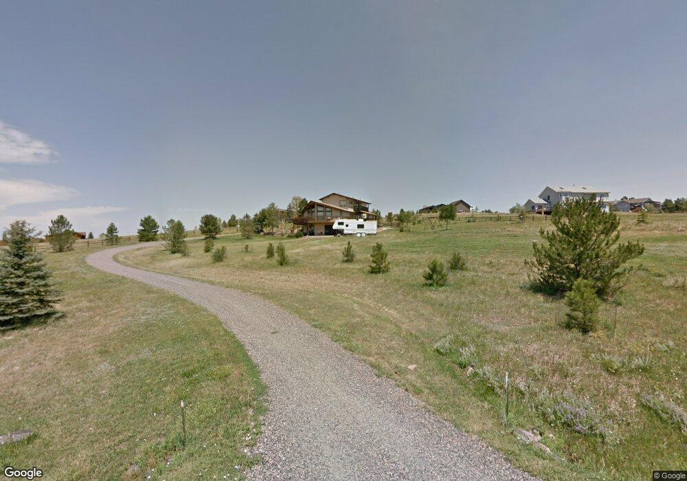
26033 E Long Ave Aurora, CO 80016
Southeast Aurora NeighborhoodEstimated Value: $690,000 - $921,000
3
Beds
2
Baths
2,170
Sq Ft
$390/Sq Ft
Est. Value
About This Home
This home is located at 26033 E Long Ave, Aurora, CO 80016 and is currently estimated at $845,972, approximately $389 per square foot. 26033 E Long Ave is a home located in Arapahoe County with nearby schools including Black Forest Hills Elementary School, Fox Ridge Middle School, and Cherokee Trail High School.
Ownership History
Date
Name
Owned For
Owner Type
Purchase Details
Closed on
Nov 4, 2016
Sold by
Kollmann Daniel G and Kollmann Louise E
Bought by
26033 E Long Ave Llc
Current Estimated Value
Purchase Details
Closed on
May 22, 1991
Sold by
Linpro Westgold Meadows Condos Inc
Bought by
Kollmann Daniel G Kollmann Louise E
Purchase Details
Closed on
Mar 16, 1988
Sold by
Conversion Arapco
Bought by
Linpro Westgold Meadows Condos Inc
Purchase Details
Closed on
Jun 1, 1985
Sold by
Conversion Arapco
Bought by
Conversion Arapco
Purchase Details
Closed on
Oct 1, 1981
Sold by
Conversion Arapco
Bought by
Conversion Arapco
Create a Home Valuation Report for This Property
The Home Valuation Report is an in-depth analysis detailing your home's value as well as a comparison with similar homes in the area
Home Values in the Area
Average Home Value in this Area
Purchase History
| Date | Buyer | Sale Price | Title Company |
|---|---|---|---|
| 26033 E Long Ave Llc | -- | None Available | |
| Kollmann Daniel G Kollmann Louise E | -- | -- | |
| Linpro Westgold Meadows Condos Inc | -- | -- | |
| Conversion Arapco | -- | -- | |
| Conversion Arapco | -- | -- |
Source: Public Records
Tax History
| Year | Tax Paid | Tax Assessment Tax Assessment Total Assessment is a certain percentage of the fair market value that is determined by local assessors to be the total taxable value of land and additions on the property. | Land | Improvement |
|---|---|---|---|---|
| 2025 | $4,824 | $43,238 | -- | -- |
| 2024 | $4,239 | $57,285 | -- | -- |
| 2023 | $4,239 | $57,285 | $0 | $0 |
| 2022 | $2,859 | $38,920 | $0 | $0 |
| 2021 | $2,874 | $38,920 | $0 | $0 |
| 2020 | $2,351 | $33,541 | $0 | $0 |
| 2019 | $2,266 | $33,541 | $0 | $0 |
| 2018 | $2,677 | $36,980 | $0 | $0 |
| 2017 | $2,641 | $36,980 | $0 | $0 |
| 2016 | $3,808 | $41,105 | $0 | $0 |
| 2015 | $3,658 | $41,105 | $0 | $0 |
| 2014 | $3,117 | $30,694 | $0 | $0 |
| 2013 | -- | $30,490 | $0 | $0 |
Source: Public Records
Map
Nearby Homes
- 25956 E Jamison Cir S
- 26155 E Jamison Cir S
- 7778 S Old Hammer Way
- 26421 E Moraine Place
- 7693 S Quantock Way
- 7792 S Quantock Way
- 7994 S Kewaunee St
- 25190 E Nova Place
- 8272 S Langdale Way
- 26053 E Geddes Cir
- 8157 S Jackson Gap St
- 8034 S Scottsburg Ct
- 27105 E Long Place
- 10735 Hanging Lake Place
- 8153 S Ider Ct
- 8247 S Country Club Pkwy
- 13900 Hanging Lake St
- 7628 S Country Club Pkwy
- 26994 E Indore Ave
- 26861 E Clifton Dr
- 26105 E Long Ave
- 25966 E Kettle Cir
- 25931 E Long Ave
- 26058 E Kettle Cir
- 7812 S Newbern Cir
- 25874 E Kettle Cir
- 26190 E Kettle Cir
- 7821 S Newbern Cir
- 25945 E Kettle Cir
- 25839 E Long Ave
- 7882 S Newbern Cir
- 26106 E Long Ave
- 25850 E Long Ave
- 26047 E Kettle Cir
- 26218 E Long Ave
- 7951 S Oak Hill Ct
- 26159 E Kettle Cir
- 26109 E Kettle Cir
- 7933 S Newbern Cir
- 26221 E Kettle Cir
Your Personal Tour Guide
Ask me questions while you tour the home.