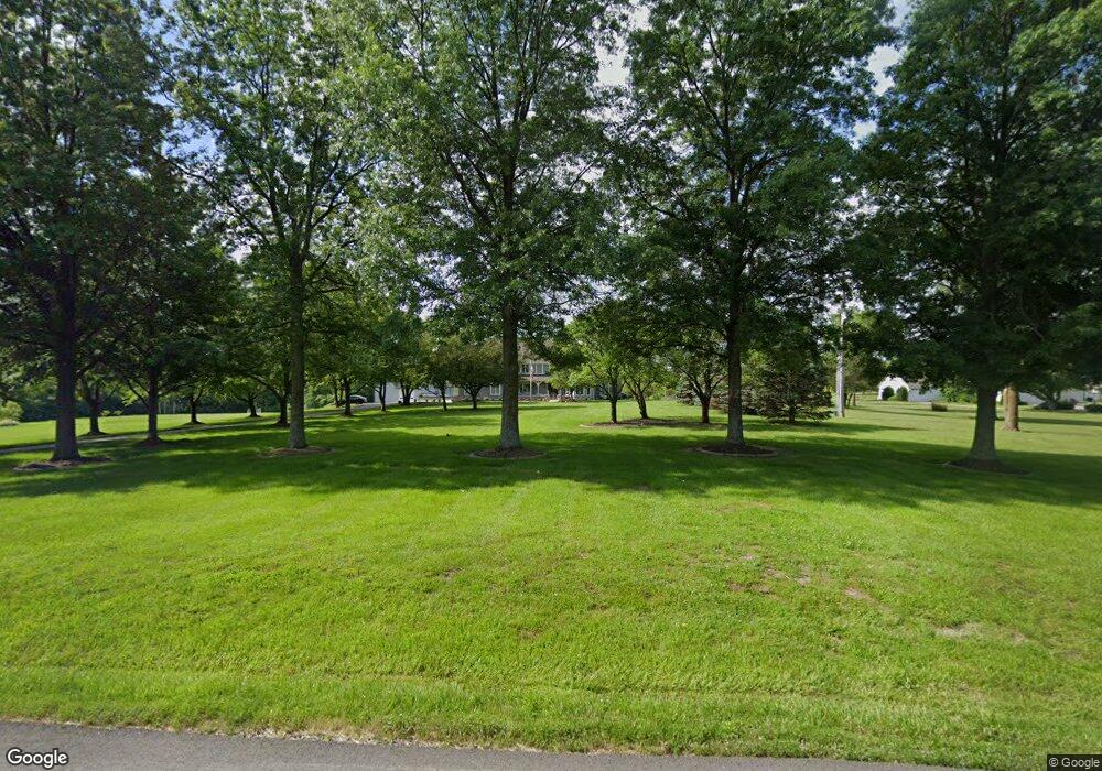
26035 W 73rd St Shawnee, KS 66227
Estimated Value: $1,069,000 - $1,701,000
4
Beds
6
Baths
4,702
Sq Ft
$308/Sq Ft
Est. Value
About This Home
This home is located at 26035 W 73rd St, Shawnee, KS 66227 and is currently estimated at $1,448,769, approximately $308 per square foot. 26035 W 73rd St is a home located in Johnson County with nearby schools including Mize Elementary School, Mill Creek Middle School, and De Soto High School.
Ownership History
Date
Name
Owned For
Owner Type
Purchase Details
Closed on
Apr 17, 2023
Sold by
Neighbors Roger H and Neighbors Nancy L
Bought by
Roger H Neighbors Irrevocable Trust
Current Estimated Value
Purchase Details
Closed on
Mar 2, 2010
Sold by
Neighbors Nancy L
Bought by
Neighbors Roger H and Neighbors Nancy L
Home Financials for this Owner
Home Financials are based on the most recent Mortgage that was taken out on this home.
Original Mortgage
$400,000
Interest Rate
4.95%
Mortgage Type
Purchase Money Mortgage
Create a Home Valuation Report for This Property
The Home Valuation Report is an in-depth analysis detailing your home's value as well as a comparison with similar homes in the area
Home Values in the Area
Average Home Value in this Area
Purchase History
| Date | Buyer | Sale Price | Title Company |
|---|---|---|---|
| Roger H Neighbors Irrevocable Trust | -- | None Listed On Document | |
| Nancy L Neighbors Irrevocable Trust | -- | None Listed On Document | |
| Neighbors Roger H | -- | Chicago Title Ins Co | |
| Neighbors Roger H | -- | Chicago Title Ins Co |
Source: Public Records
Mortgage History
| Date | Status | Borrower | Loan Amount |
|---|---|---|---|
| Previous Owner | Neighbors Roger H | $400,000 |
Source: Public Records
Tax History Compared to Growth
Tax History
| Year | Tax Paid | Tax Assessment Tax Assessment Total Assessment is a certain percentage of the fair market value that is determined by local assessors to be the total taxable value of land and additions on the property. | Land | Improvement |
|---|---|---|---|---|
| 2024 | $13,851 | $117,873 | $45,706 | $72,167 |
| 2023 | $13,268 | $112,543 | $39,273 | $73,270 |
| 2022 | $12,601 | $104,754 | $36,829 | $67,925 |
| 2021 | $11,282 | $90,643 | $37,105 | $53,538 |
| 2020 | $10,653 | $84,813 | $37,105 | $47,708 |
| 2019 | $10,705 | $83,985 | $37,198 | $46,787 |
| 2018 | $10,301 | $80,098 | $37,198 | $42,900 |
| 2017 | $10,368 | $78,660 | $37,198 | $41,462 |
| 2016 | $10,299 | $77,188 | $37,198 | $39,990 |
| 2015 | $10,426 | $76,406 | $37,198 | $39,208 |
| 2013 | -- | $73,083 | $37,198 | $35,885 |
Source: Public Records
Map
Nearby Homes
- 7330 Cedar Niles Rd
- Newberry Plan at Mize Hill
- Lakewood Villa Plan at Mize Hill
- 7005 Mize Rd
- 9057 Shady Bend Rd
- 26775 W 73rd St
- 24916 W 75th Place
- 7716 Houston St
- 0 Mize Rd Unit HMS2466053
- 7822 Houston St
- 7547 Belmont Dr
- 7546 Mccormick Dr
- 25492 84th Terrace
- 7005 Barth Rd
- 24203 W 69th St
- 26544 83rd Terrace
- 8302 Greentree Dr
- 25480 W 83rd Terrace
- 8357 Greentree Dr
- 26571 83rd Terrace
- 26125 W 73rd St
- 25865 W 73rd St
- 25902 W 73rd St
- 26000 W 73rd St
- 26215 W 73rd St
- 25803 W 73rd St
- 7335 Cedar Niles Rd
- 25808 W 73rd St
- 7375 Cedar Niles Rd
- 7420 Deer Ridge
- 7425 Cedar Niles Rd
- 25705 W 73rd St
- 25706 W 73rd St
- 26370 W 73rd St
- 7450 Deer Ridge
- 7465 Cedar Niles Rd
- 7435 Deer Ridge
- 7370 Cedar Niles Rd
- 7420 Cedar Niles Rd
- 25604 W 73rd St