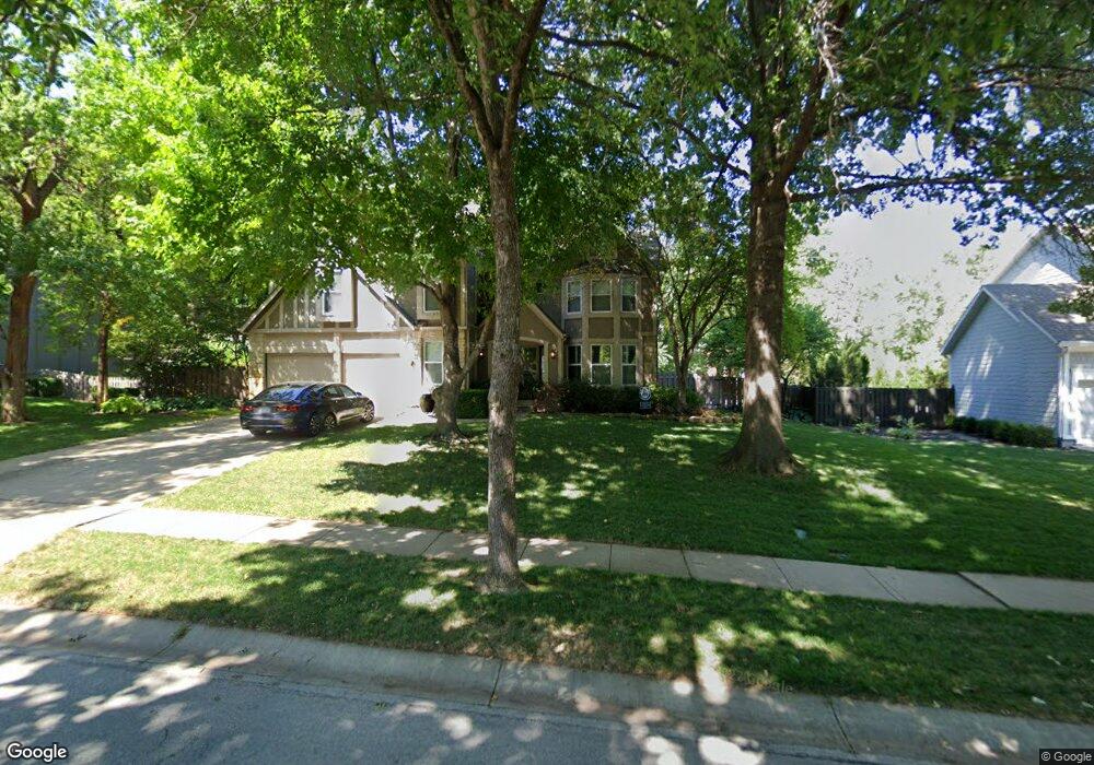
2604 W 131st St Leawood, KS 66209
Estimated Value: $668,523 - $752,000
4
Beds
5
Baths
2,830
Sq Ft
$247/Sq Ft
Est. Value
About This Home
This home is located at 2604 W 131st St, Leawood, KS 66209 and is currently estimated at $699,631, approximately $247 per square foot. 2604 W 131st St is a home located in Johnson County with nearby schools including Mission Trail Elementary School, Leawood Middle School, and Blue Valley North High School.
Ownership History
Date
Name
Owned For
Owner Type
Purchase Details
Closed on
Jul 28, 2005
Sold by
Wallace Derrick I and Wallace Melissa T
Bought by
Cott Aaron C and Cott Malinda M
Current Estimated Value
Home Financials for this Owner
Home Financials are based on the most recent Mortgage that was taken out on this home.
Original Mortgage
$36,000
Interest Rate
5.4%
Mortgage Type
Purchase Money Mortgage
Create a Home Valuation Report for This Property
The Home Valuation Report is an in-depth analysis detailing your home's value as well as a comparison with similar homes in the area
Home Values in the Area
Average Home Value in this Area
Purchase History
| Date | Buyer | Sale Price | Title Company |
|---|---|---|---|
| Cott Aaron C | -- | Assured Quality Title Co |
Source: Public Records
Mortgage History
| Date | Status | Borrower | Loan Amount |
|---|---|---|---|
| Closed | Cott Aaron C | $36,000 | |
| Open | Cott Aaron C | $231,050 |
Source: Public Records
Tax History Compared to Growth
Tax History
| Year | Tax Paid | Tax Assessment Tax Assessment Total Assessment is a certain percentage of the fair market value that is determined by local assessors to be the total taxable value of land and additions on the property. | Land | Improvement |
|---|---|---|---|---|
| 2024 | $7,792 | $70,035 | $14,868 | $55,167 |
| 2023 | $6,994 | $62,088 | $14,868 | $47,220 |
| 2022 | $7,245 | $62,893 | $14,868 | $48,025 |
| 2021 | $6,914 | $57,316 | $14,868 | $42,448 |
| 2020 | $6,348 | $51,589 | $14,868 | $36,721 |
| 2019 | $5,874 | $46,909 | $13,522 | $33,387 |
| 2018 | $5,216 | $40,952 | $12,288 | $28,664 |
| 2017 | $4,772 | $36,869 | $10,243 | $26,626 |
| 2016 | $4,437 | $34,339 | $8,539 | $25,800 |
| 2015 | $4,360 | $33,339 | $8,539 | $24,800 |
| 2013 | -- | $32,131 | $7,754 | $24,377 |
Source: Public Records
Map
Nearby Homes
- 12854 Pembroke Cir
- 12851 Pembroke Cir
- 12815 Pembroke Cir
- 2549 W 132nd Terrace
- 2229 Condolea Terrace
- 12725 High Dr
- 2218 Condolea Terrace
- 12854 Cambridge Terrace
- 13240 Falmouth St
- 12768 Overbrook Rd
- The Forester Plan at East Village
- Fleetwood Villa Plan at East Village
- 12763 Overbrook Rd
- The Aspen Plan at East Village - Twin Villas
- The Breckenridge 2 Car Plan at East Village - Twin Villas
- The Breckenridge 3 Car Plan at East Village - Twin Villas
- The Basalt Plan at East Village - Twin Villas
- The Avon Plan at East Village - Twin Villas
- 2313 W 127th St
- 13280 Falmouth St
- 2600 W 131st St
- 2608 W 131st St
- 12844 Sagamore Rd
- 12846 Sagamore Rd
- 12842 Sagamore Rd
- 2605 W 131st St
- 2601 W 131st St
- 2700 W 131st St
- 2508 W 131st St
- 2701 W 131st St
- 12848 Sagamore Rd
- 12840 Sagamore Rd
- 2644 W 131st Terrace
- 2708 W 131st St
- 12843 Sagamore Rd
- 12850 Sagamore Rd
- 12841 Sagamore Rd
- 2504 W 131st St
- 2705 W 131st St
- 2641 W 131st Terrace