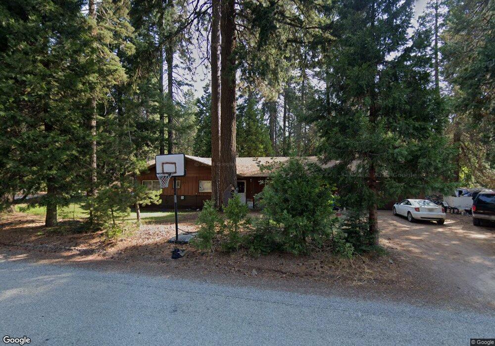
2605 Amy Ct Mount Shasta, CA 96067
Estimated Value: $383,480 - $451,000
3
Beds
2
Baths
1,490
Sq Ft
$282/Sq Ft
Est. Value
About This Home
This home is located at 2605 Amy Ct, Mount Shasta, CA 96067 and is currently estimated at $420,120, approximately $281 per square foot. 2605 Amy Ct is a home located in Siskiyou County with nearby schools including Mt. Shasta Elementary School, Mt. Shasta High School, and I Am School.
Ownership History
Date
Name
Owned For
Owner Type
Purchase Details
Closed on
Aug 2, 2011
Sold by
Dakins Deborah R
Bought by
Burwell Kenneth A
Current Estimated Value
Home Financials for this Owner
Home Financials are based on the most recent Mortgage that was taken out on this home.
Original Mortgage
$149,785
Outstanding Balance
$103,030
Interest Rate
4.43%
Mortgage Type
VA
Estimated Equity
$317,090
Purchase Details
Closed on
Jun 8, 2006
Sold by
Dakins Malcolm and Dakins Max
Bought by
Dakins Max
Create a Home Valuation Report for This Property
The Home Valuation Report is an in-depth analysis detailing your home's value as well as a comparison with similar homes in the area
Home Values in the Area
Average Home Value in this Area
Purchase History
| Date | Buyer | Sale Price | Title Company |
|---|---|---|---|
| Burwell Kenneth A | $145,000 | Mt Shasta Title & Escrow Co | |
| Dakins Max | -- | None Available |
Source: Public Records
Mortgage History
| Date | Status | Borrower | Loan Amount |
|---|---|---|---|
| Open | Burwell Kenneth A | $149,785 |
Source: Public Records
Tax History Compared to Growth
Tax History
| Year | Tax Paid | Tax Assessment Tax Assessment Total Assessment is a certain percentage of the fair market value that is determined by local assessors to be the total taxable value of land and additions on the property. | Land | Improvement |
|---|---|---|---|---|
| 2025 | $1,977 | $182,114 | $62,796 | $119,318 |
| 2023 | $1,977 | $175,044 | $60,358 | $114,686 |
| 2022 | $1,904 | $171,613 | $59,175 | $112,438 |
| 2021 | $1,873 | $168,249 | $58,015 | $110,234 |
| 2020 | $1,873 | $166,525 | $57,421 | $109,104 |
| 2019 | $1,839 | $163,261 | $56,296 | $106,965 |
| 2018 | $1,805 | $160,061 | $55,193 | $104,868 |
| 2017 | $1,788 | $156,923 | $54,111 | $102,812 |
| 2016 | $1,754 | $153,847 | $53,050 | $100,797 |
| 2015 | $1,656 | $151,537 | $52,254 | $99,283 |
| 2014 | $1,625 | $148,570 | $51,231 | $97,339 |
Source: Public Records
Map
Nearby Homes
- 930 Davis Place Rd
- 1400 Davis Place Rd
- 1601 Timber Hills Rd
- 1224 Timber Hills Rd
- 316 Pony Trail
- 1.4 Acres Summit Dr
- 00 Summit Dr
- 848 Mac Ln
- 1901 Wyehka Way
- 2616 Pine Grove Dr
- 4135 Hummingbird Way
- 2430 Pine Grove Dr
- 457 Skyview Rd
- 4025 Summit Dr
- 9.2 acres Spring Hill Rd
- 1212 N Old Stage Rd
- 4900 N Old Stage Rd
- 1420 Cedar View Ln
- 0 N Old Stage Rd
- 979 Lassen Ln
- 2615 Amy Ct
- 1825 Davis Place Rd
- 2240 Davis Place Rd
- 2610 Amy Ct
- 2625 Amy Ct
- 2324 Davis Place Rd
- 2841 Amy Ct
- 2620 Amy Ct
- 2234 Davis Place Rd
- 2635 Amy Ct
- 2321 Davis Place Rd
- 2630 Amy Ct
- . Davis Place Rd
- Lot 6 Davis Place
- Lot 6 Davis Place Rd
- Lot 5 Davis Place Rd
- 2645 Amy Ct
- 2727 Amy Ct
- 0 Davis Place Rd
- 2640 Amy Ct