2605 Gilbert Rd Mount Airy, MD 21771
Estimated Value: $586,000 - $647,000
--
Bed
3
Baths
2,142
Sq Ft
$286/Sq Ft
Est. Value
About This Home
This home is located at 2605 Gilbert Rd, Mount Airy, MD 21771 and is currently estimated at $611,919, approximately $285 per square foot. 2605 Gilbert Rd is a home located in Carroll County with nearby schools including Winfield Elementary School, Mount Airy Middle School, and South Carroll High School.
Ownership History
Date
Name
Owned For
Owner Type
Purchase Details
Closed on
Apr 16, 1992
Sold by
Stonesifer James Michael
Bought by
Bednarski Christopher P and Bednarski Linda E
Current Estimated Value
Purchase Details
Closed on
Oct 6, 1987
Sold by
Frye Dale L
Bought by
Stonesifer James Michael
Home Financials for this Owner
Home Financials are based on the most recent Mortgage that was taken out on this home.
Original Mortgage
$117,400
Interest Rate
11.18%
Create a Home Valuation Report for This Property
The Home Valuation Report is an in-depth analysis detailing your home's value as well as a comparison with similar homes in the area
Home Values in the Area
Average Home Value in this Area
Purchase History
| Date | Buyer | Sale Price | Title Company |
|---|---|---|---|
| Bednarski Christopher P | $172,500 | -- | |
| Stonesifer James Michael | $134,900 | -- |
Source: Public Records
Mortgage History
| Date | Status | Borrower | Loan Amount |
|---|---|---|---|
| Previous Owner | Stonesifer James Michael | $117,400 |
Source: Public Records
Tax History Compared to Growth
Tax History
| Year | Tax Paid | Tax Assessment Tax Assessment Total Assessment is a certain percentage of the fair market value that is determined by local assessors to be the total taxable value of land and additions on the property. | Land | Improvement |
|---|---|---|---|---|
| 2025 | $5,012 | $478,800 | $0 | $0 |
| 2024 | $5,012 | $442,200 | $191,000 | $251,200 |
| 2023 | $4,877 | $430,133 | $0 | $0 |
| 2022 | $4,742 | $418,067 | $0 | $0 |
| 2021 | $9,356 | $406,000 | $151,000 | $255,000 |
| 2020 | $4,362 | $386,733 | $0 | $0 |
| 2019 | $4,212 | $367,467 | $0 | $0 |
| 2018 | $3,959 | $348,200 | $151,000 | $197,200 |
| 2017 | $3,829 | $336,533 | $0 | $0 |
| 2016 | -- | $324,867 | $0 | $0 |
| 2015 | -- | $313,200 | $0 | $0 |
| 2014 | -- | $313,200 | $0 | $0 |
Source: Public Records
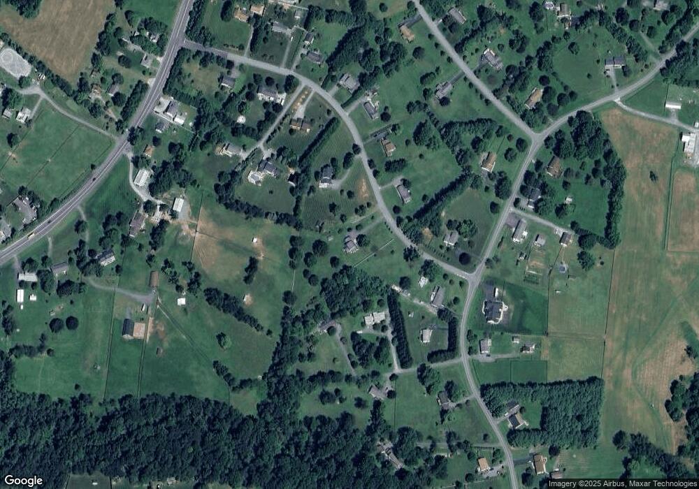
Map
Nearby Homes
- 5164 Perry Rd
- 5134 Perry Rd
- 4950 Crocus Rd
- 4828 Ridge Rd
- 2815 Gillis Rd
- 2990 Honeywood Dr
- 4950 Fleming Rd
- 4328 Ridge Rd Unit 13
- 2613 Liberty Rd
- 2210 Skylark Dr
- 5307 Pommel Dr
- 5415 Ridge Rd
- 2262 Cherokee Dr
- 5345 Pommel Dr
- 3008 Arapaho Ct
- 0 Cabbage Spring Rd
- 15535 Liberty Rd
- 4539 Salem Bottom Rd
- 3870 Roop Rd
- 3720 Buffalo Rd