2605 Old Westfield Rd Pilot Mountain, NC 27041
Estimated Value: $316,000 - $552,303
About This Home
This home is located at 2605 Old Westfield Rd, Pilot Mountain, NC 27041 and is currently estimated at $436,576, approximately $239 per square foot. 2605 Old Westfield Rd is a home with nearby schools including Westfield Elementary School, Pilot Mountain Middle School, and East Surry High School.
Ownership History
We collect this data history from publicly available records. To have your information removed, we recommend requesting removal directly through your county’s website.
Purchase Details
Home Financials for this Owner
Home Financials are based on the most recent Mortgage that was taken out on this home.Purchase Details
Purchase History
We collect this data history from publicly available records. To have your information removed, we recommend requesting removal directly through your county’s website.
| Date | Buyer | Sale Price | Title Company |
|---|---|---|---|
| $60,500 | None Available | ||
| -- | -- |
Mortgage History
We collect this data history from publicly available records. To have your information removed, we recommend requesting removal directly through your county’s website.
| Date | Status | Borrower | Loan Amount |
|---|---|---|---|
| Open | $19,500 | ||
| Closed | $15,000 | ||
| Closed | $34,000 | ||
| Closed | $261,000 | ||
| Closed | $56,800 |
Tax History
We collect this data history from publicly available records. To have your information removed, we recommend requesting removal directly through your county’s website.
| Year | Tax Paid | Tax Assessment Tax Assessment Total Assessment is a certain percentage of the fair market value that is determined by local assessors to be the total taxable value of land and additions on the property. | Land | Improvement |
|---|---|---|---|---|
| 2025 | $2,611 | $428,090 | $75,490 | $352,600 |
| 2024 | $2,222 | $334,130 | $62,240 | $271,890 |
| 2023 | $2,185 | $334,130 | $62,240 | $271,890 |
| 2022 | $2,185 | $334,130 | $62,240 | $271,890 |
| 2021 | $2,222 | $334,130 | $62,240 | $271,890 |
| 2020 | $2,180 | $314,980 | $54,110 | $260,870 |
| 2019 | $2,174 | $314,980 | $0 | $0 |
| 2018 | $1,882 | $284,180 | $0 | $0 |
| 2017 | $1,855 | $284,180 | $0 | $0 |
| 2016 | $1,855 | $284,180 | $0 | $0 |
| 2013 | -- | $289,300 | $0 | $0 |
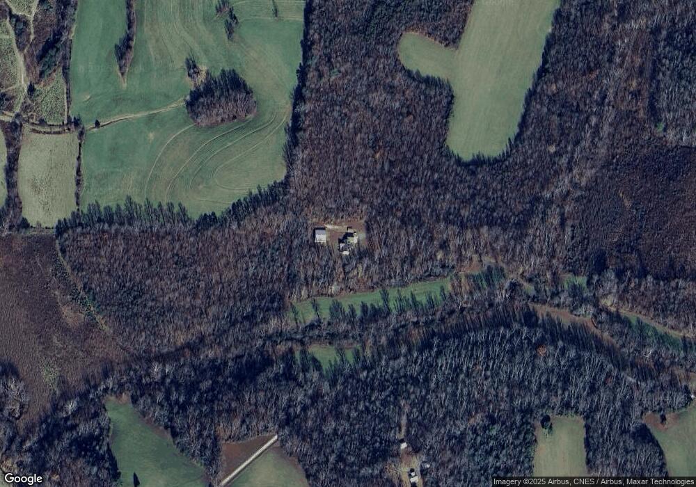
Map
- 310 Jessup Grove Church Rd
- 100-186 Jessup Grove Church Rd Unit 3.9 +/- AC tract
- 552 Tom Hunter Rd
- 6618 Westfield Rd
- 1096-1238 Cook School Rd Unit 97+/- AC Tract
- 274 Echo Hollar Rd
- 2093 Cook School Rd
- 2101 Cook School Rd
- 193 Owens Ln
- 446 Gilley Rd
- 000 Echo Hollar Rd
- 5236 N Carolina 89
- 000 N Carolina 89
- 220 Echo Hollar Rd
- 00 Echo Hollar Rd
- 114 Echo Hollar Rd
- 378 Bright Hill Ln
- 0 N Carolina 89
- 2285 Locust Grove Rd
- 254 Toms Creek Church Rd
- 251 Rosa Lee Ln
- 2495 Old Westfield Rd
- 2534 Old Westfield Rd
- 2423 Old Westfield Rd
- 2706 Old Westfield Rd
- 2450 Old Westfield Rd
- 603 Cleo Cain Rd
- 754 Cleo Cain Rd
- 414 Cleo Cain Rd
- 790 Cleo Cain Rd
- 437 Cleo Cain Rd
- 2357 Old Westfield Rd
- 2349 Old Westfield Rd
- 411 Cleo Cain Rd
- 783 Cleo Cain Rd
- 2795 Old Westfield Rd
- 2470 Old Westfield Rd
- 527 Cleo Cain Rd
- 2410 Old Westfield Rd
- 355 Cleo Cain Rd
Ask me questions while you tour the home.