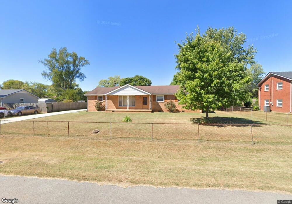
2605 Scott Dr Clarksville, TN 37042
Estimated Value: $182,000 - $292,000
--
Bed
2
Baths
1,610
Sq Ft
$141/Sq Ft
Est. Value
About This Home
This home is located at 2605 Scott Dr, Clarksville, TN 37042 and is currently estimated at $226,254, approximately $140 per square foot. 2605 Scott Dr is a home located in Montgomery County with nearby schools including West Creek Elementary School, West Creek Middle School, and West Creek High School.
Ownership History
Date
Name
Owned For
Owner Type
Purchase Details
Closed on
Dec 6, 2022
Sold by
Montgomery County
Bought by
Porter Juanita and Dyson Carolyn
Current Estimated Value
Purchase Details
Closed on
Feb 24, 2021
Sold by
Shelton Billy F and Shelton Judy G
Bought by
Harris Chad and Harris Mckenzie
Purchase Details
Closed on
May 8, 2018
Sold by
Majors Karen
Bought by
Brewer Roy
Purchase Details
Closed on
Jun 24, 2003
Sold by
A S C
Bought by
Mary Brewer
Purchase Details
Closed on
Nov 5, 2002
Sold by
Roy Brewer
Bought by
A S C
Purchase Details
Closed on
Nov 27, 1995
Sold by
Roy Brewer
Bought by
Roy Brewer
Create a Home Valuation Report for This Property
The Home Valuation Report is an in-depth analysis detailing your home's value as well as a comparison with similar homes in the area
Home Values in the Area
Average Home Value in this Area
Purchase History
| Date | Buyer | Sale Price | Title Company |
|---|---|---|---|
| Porter Juanita | $250 | -- | |
| Harris Chad | $130,000 | Bankers T&E Clarksville Llc | |
| Brewer Roy | -- | -- | |
| Mary Brewer | $50,000 | -- | |
| A S C | $58,000 | -- | |
| Roy Brewer | -- | -- |
Source: Public Records
Tax History Compared to Growth
Tax History
| Year | Tax Paid | Tax Assessment Tax Assessment Total Assessment is a certain percentage of the fair market value that is determined by local assessors to be the total taxable value of land and additions on the property. | Land | Improvement |
|---|---|---|---|---|
| 2024 | $1,373 | $46,075 | $0 | $0 |
| 2023 | $1,373 | $27,250 | $0 | $0 |
| 2022 | $1,150 | $27,250 | $0 | $0 |
| 2021 | $1,150 | $27,250 | $0 | $0 |
| 2020 | $1,070 | $26,625 | $0 | $0 |
| 2019 | $1,070 | $26,625 | $0 | $0 |
| 2018 | $833 | $10,075 | $0 | $0 |
| 2017 | $240 | $19,325 | $0 | $0 |
| 2016 | $593 | $19,325 | $0 | $0 |
| 2015 | $593 | $19,325 | $0 | $0 |
| 2014 | $804 | $19,325 | $0 | $0 |
| 2013 | $873 | $19,950 | $0 | $0 |
Source: Public Records
Map
Nearby Homes
- 404 Lisle Dr
- 2631 Scott Dr
- 307 Burch Rd
- 239 Burch Rd
- 2686 Scott Dr
- 2711 E Copeland Ct
- 231 King Rd
- 210 Notgrass Rd
- 221 Burch Rd
- 2705 W Copeland Ct
- 306 Tiny Town Rd
- 00 Rolling Acres Us-460
- 2203 Green Acres Dr
- 3426 Fox Meadow Way
- 144 Airport Rd
- 0 Airport Rd
- 3442 Fox Meadow Way
- 106 Tandy Dr
- 2307 Pendleton Dr
- 505 Fox Trot Dr