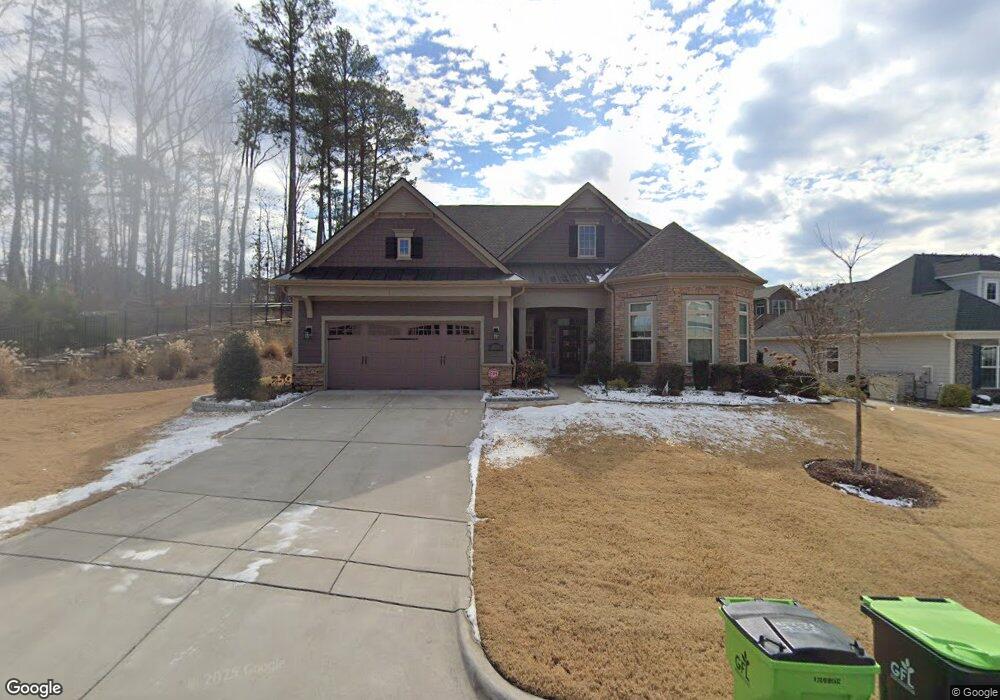
2605 Silas Peak Ln Apex, NC 27523
Green Level NeighborhoodEstimated Value: $977,000 - $1,210,000
--
Bed
1
Bath
3,633
Sq Ft
$303/Sq Ft
Est. Value
About This Home
This home is located at 2605 Silas Peak Ln, Apex, NC 27523 and is currently estimated at $1,102,279, approximately $303 per square foot. 2605 Silas Peak Ln is a home with nearby schools including White Oak Elementary School, Mills Park Middle School, and Green Level High School.
Ownership History
Date
Name
Owned For
Owner Type
Purchase Details
Closed on
Jan 30, 2023
Sold by
Steagall Thomas and Steagall Ann
Bought by
Steagall Joint Living Trust
Current Estimated Value
Purchase Details
Closed on
Jan 4, 2023
Sold by
Bockstein Herbert Merle and Bockstein Nadine Merle
Bought by
Bocksteln-Bernstein Joint Living Trust
Purchase Details
Closed on
Jan 17, 2020
Sold by
Toll Nc Ii Lp
Bought by
Bockstein Herbert and Bernstein Nadine Merle
Home Financials for this Owner
Home Financials are based on the most recent Mortgage that was taken out on this home.
Original Mortgage
$425,000
Interest Rate
3.6%
Mortgage Type
New Conventional
Create a Home Valuation Report for This Property
The Home Valuation Report is an in-depth analysis detailing your home's value as well as a comparison with similar homes in the area
Home Values in the Area
Average Home Value in this Area
Purchase History
| Date | Buyer | Sale Price | Title Company |
|---|---|---|---|
| Steagall Joint Living Trust | -- | -- | |
| Bocksteln-Bernstein Joint Living Trust | -- | -- | |
| Bockstein Herbert | $626,500 | None Available |
Source: Public Records
Mortgage History
| Date | Status | Borrower | Loan Amount |
|---|---|---|---|
| Previous Owner | Bockstein Herbert | $425,000 |
Source: Public Records
Tax History Compared to Growth
Tax History
| Year | Tax Paid | Tax Assessment Tax Assessment Total Assessment is a certain percentage of the fair market value that is determined by local assessors to be the total taxable value of land and additions on the property. | Land | Improvement |
|---|---|---|---|---|
| 2025 | $8,477 | $968,618 | $225,000 | $743,618 |
| 2024 | $8,287 | $968,618 | $225,000 | $743,618 |
| 2023 | $7,641 | $694,740 | $145,000 | $549,740 |
| 2022 | $7,172 | $694,740 | $145,000 | $549,740 |
| 2021 | $6,898 | $694,740 | $145,000 | $549,740 |
| 2020 | $4,653 | $694,740 | $145,000 | $549,740 |
| 2019 | $1,987 | $175,000 | $175,000 | $0 |
Source: Public Records
Map
Nearby Homes
- 2590 Silas Peak Ln
- 2583 Silas Peak Ln
- 106 Ludbrook Ct
- 100 Ludbrook Ct
- 2613 Beckwith Rd
- 2525 Silas Peak Ln
- 7724 Roberts Rd
- 7723 Roberts Rd
- 2737 Willow Rock Ln
- 2771 Willow Rock Ln
- 2511 Range Overlook Crossing
- 2125 Princeville Dr
- 228 Cloverdale Rd
- 2844 Spring Shade Rd
- 500 Windboard St
- 470 Duggins Point
- 4464 Dominion Crest Dr
- 4462 Dominion Crest Dr
- 4466 Dominion Crest Dr
- Ashdale Plan at Millstone
- 2609 Silas Peak Ln
- 2611 Silas Peak Ln
- 2516 Cedar Hedge Ct
- 2522 Cedar Hedge Ct
- 2600 Silas Peak Ln
- 2617 Silas Peak Ln Unit 106
- 2617 Silas Peak Ln
- 2617 Silas Peak Ln
- 2606 Silas Peak Ln
- 2612 Silas Peak Ln
- 2528 Cedar Hedge Ct
- 2618 Silas Peak Ln
- 2627 Silas Peak Ln
- 2534 Cedar Hedge Ct
- 2501 Cedar Hedge Ct
- 2624 Silas Peak Ln
- 2519 Cedar Hedge Ct
- 2513 Cedar Hedge Ct
- 2525 Cedar Hedge Ct
- 2643 Silas Peak Ln