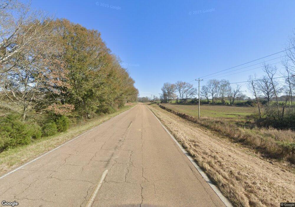
Estimated Value: $99,670 - $179,000
Studio
--
Bath
1,519
Sq Ft
$95/Sq Ft
Est. Value
About This Home
This home is located at 2605 Simpson Highway 540, Magee, MS 39111 and is currently estimated at $144,668, approximately $95 per square foot. 2605 Simpson Highway 540 is a home with nearby schools including Magee Elementary School, Magee Middle School, and Magee High School.
Ownership History
Date
Name
Owned For
Owner Type
Purchase Details
Closed on
Jul 28, 2025
Sold by
Hudson Michael A and Hudson Claire Michelle
Bought by
Rankin Michael and Rankin Leeann
Current Estimated Value
Home Financials for this Owner
Home Financials are based on the most recent Mortgage that was taken out on this home.
Original Mortgage
$72,120
Outstanding Balance
$71,870
Interest Rate
5.89%
Mortgage Type
Credit Line Revolving
Estimated Equity
$72,798
Purchase Details
Closed on
Jan 8, 2021
Sold by
L-Garner Jimmie N and Garner Gilbert D
Bought by
Hudson Claire M
Create a Home Valuation Report for This Property
The Home Valuation Report is an in-depth analysis detailing your home's value as well as a comparison with similar homes in the area
Purchase History
| Date | Buyer | Sale Price | Title Company |
|---|---|---|---|
| Rankin Michael | -- | None Listed On Document | |
| Rankin Michael | -- | None Listed On Document | |
| Hudson Claire M | -- | None Available |
Source: Public Records
Mortgage History
| Date | Status | Borrower | Loan Amount |
|---|---|---|---|
| Open | Rankin Michael | $72,120 | |
| Closed | Rankin Michael | $72,120 |
Source: Public Records
Tax History
| Year | Tax Paid | Tax Assessment Tax Assessment Total Assessment is a certain percentage of the fair market value that is determined by local assessors to be the total taxable value of land and additions on the property. | Land | Improvement |
|---|---|---|---|---|
| 2025 | $417 | $5,641 | $0 | $0 |
| 2024 | $417 | $5,221 | $0 | $0 |
| 2023 | $384 | $4,995 | $0 | $0 |
| 2022 | $353 | $5,109 | $0 | $0 |
| 2021 | $342 | $5,109 | $0 | $0 |
| 2020 | $0 | $4,550 | $0 | $0 |
| 2019 | $0 | $4,550 | $0 | $0 |
| 2018 | $0 | $4,550 | $0 | $0 |
| 2017 | $0 | $4,550 | $0 | $0 |
| 2016 | $0 | $4,504 | $0 | $0 |
| 2015 | -- | $4,504 | $0 | $0 |
| 2014 | -- | $4,471 | $0 | $0 |
Source: Public Records
Map
Nearby Homes
- 1847 Smith County Road 123
- No Warren Cook Road Lot: 1
- No Warren Cook Rd
- 0 Bryant Ln
- 0 Hosey Rd
- 00 Hayman Lake Rd
- 2568 Highway 481
- 110 Scr 129
- 1063 Dry Creek Rd
- 128 Rock Pisgah Rd
- 167 Galilee Cutoff Rd
- 276 Martin Ln
- 112 Laurelwood Trail
- 115 Laurelwood Trail Rd
- 1912 Poplar Springs Rd
- 308 Magnolia Dr
- 1491 Scr 52
- 391 Scr 62
- 240 Magnolia Dr
- 000 Simpson Hwy 540
- 0 Ms-540 Unit 4010239
- 2313 Dry Creek Rd
- 2629 Simpson Highway 540
- 2297 Dry Creek Rd
- 2723 Simpson Highway 540
- 8690 Simpson Highway 540
- 136 Preston Maddox Dr
- 143 Wall Dr
- 152 Wall Dr
- 139 Martin Rd
- 143 Wall Dr
- 126 Rice Maddox Dr
- 150 Martin Rd
- 513 Scr 503 S
- 114 Vera J Tullos Dr
- 233 Scr 503 S
- 123 Cr 503 Rd
- 2206 Dry Creek Rd
- 2207 Dry Creek Rd
Your Personal Tour Guide
Ask me questions while you tour the home.
