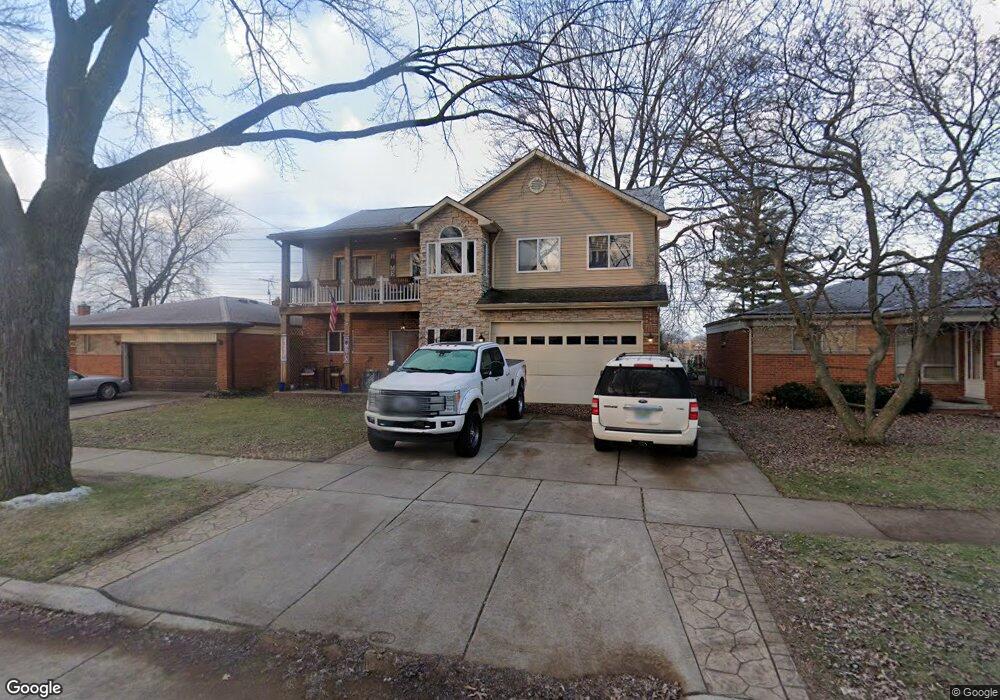
26063 Newport Ave Warren, MI 48089
Southeast Warren NeighborhoodEstimated Value: $279,000 - $310,000
5
Beds
3
Baths
2,638
Sq Ft
$109/Sq Ft
Est. Value
About This Home
This home is located at 26063 Newport Ave, Warren, MI 48089 and is currently estimated at $288,692, approximately $109 per square foot. 26063 Newport Ave is a home located in Macomb County with nearby schools including Warren Woods Tower High School and Frontier International Academy Elementary.
Ownership History
Date
Name
Owned For
Owner Type
Purchase Details
Closed on
Oct 19, 2001
Sold by
Swiderski Trust
Bought by
White Joseph E
Current Estimated Value
Home Financials for this Owner
Home Financials are based on the most recent Mortgage that was taken out on this home.
Original Mortgage
$131,950
Interest Rate
6.64%
Mortgage Type
Purchase Money Mortgage
Create a Home Valuation Report for This Property
The Home Valuation Report is an in-depth analysis detailing your home's value as well as a comparison with similar homes in the area
Home Values in the Area
Average Home Value in this Area
Purchase History
| Date | Buyer | Sale Price | Title Company |
|---|---|---|---|
| White Joseph E | $100,000 | -- | |
| Dunne Jeffrey H | $133,000 | -- |
Source: Public Records
Mortgage History
| Date | Status | Borrower | Loan Amount |
|---|---|---|---|
| Previous Owner | Dunne Jeffrey H | $131,950 |
Source: Public Records
Tax History Compared to Growth
Tax History
| Year | Tax Paid | Tax Assessment Tax Assessment Total Assessment is a certain percentage of the fair market value that is determined by local assessors to be the total taxable value of land and additions on the property. | Land | Improvement |
|---|---|---|---|---|
| 2025 | $3,526 | $145,130 | $0 | $0 |
| 2024 | $3,426 | $148,040 | $0 | $0 |
| 2023 | $3,237 | $132,890 | $0 | $0 |
| 2022 | $3,174 | $107,770 | $0 | $0 |
| 2021 | $4,131 | $99,540 | $0 | $0 |
| 2020 | $3,146 | $96,900 | $0 | $0 |
| 2019 | $2,852 | $94,690 | $0 | $0 |
| 2018 | $2,881 | $61,930 | $0 | $0 |
| 2017 | $2,724 | $60,520 | $6,140 | $54,380 |
| 2016 | $2,703 | $60,520 | $0 | $0 |
| 2015 | -- | $68,680 | $0 | $0 |
| 2013 | $2,611 | $51,100 | $0 | $0 |
Source: Public Records
Map
Nearby Homes
- 13203 Frazho Rd
- 26515 Newport Ave
- 25653 Palomino Ave
- 13144 Stamford Ave
- 13171 Burgundy Ave
- 12922 Heritage S Unit 54
- 26552 Wagner Ave
- 11920 Carney St
- 13429 Zagaiski Ave
- 11927 Stamford Ave
- 25317 Wagner Ave
- 25227 Marilyn Ave
- 25137 Palomino Ave
- 13696 Harthill Ave
- 12291 E 11 Mile Rd
- 13653 Brainbridge Ave
- 25050 Constitution Ave
- 26640 Schoenherr Rd
- 11820 Mckinley Dr
- 11647 Hovey St
- 26051 Newport Ave
- 26107 Newport Ave
- 26039 Newport Ave
- 26119 Newport Ave
- 26027 Newport Ave
- 26131 Newport Ave
- 26062 Newport Ave
- 26106 Newport Ave
- 26050 Newport Ave
- 26143 Newport Ave
- 26015 Newport Ave
- 26118 Newport Ave
- 26038 Newport Ave
- 26130 Newport Ave
- 26026 Newport Ave
- 26155 Newport Ave
- 26142 Newport Ave
- 26014 Newport Ave
- 26167 Newport Ave
- 26059 Fairfield Ave