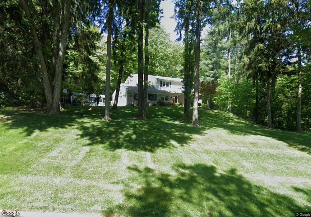
2607 Red Gate Dr Doylestown, PA 18902
Estimated Value: $643,952 - $773,000
4
Beds
3
Baths
2,512
Sq Ft
$288/Sq Ft
Est. Value
About This Home
This home is located at 2607 Red Gate Dr, Doylestown, PA 18902 and is currently estimated at $722,488, approximately $287 per square foot. 2607 Red Gate Dr is a home located in Bucks County with nearby schools including Buckingham Elementary School, Holicong Middle School, and Central Bucks High School - East.
Ownership History
Date
Name
Owned For
Owner Type
Purchase Details
Closed on
Aug 23, 1995
Sold by
Mccafferty Robert P and Mccafferty Pauline L
Bought by
Poli Christopher and Poli Karen L
Current Estimated Value
Home Financials for this Owner
Home Financials are based on the most recent Mortgage that was taken out on this home.
Original Mortgage
$120,000
Interest Rate
6.12%
Purchase Details
Closed on
Feb 7, 1972
Bought by
Mccafferty Robert P and Mccafferty Lauline L
Create a Home Valuation Report for This Property
The Home Valuation Report is an in-depth analysis detailing your home's value as well as a comparison with similar homes in the area
Home Values in the Area
Average Home Value in this Area
Purchase History
| Date | Buyer | Sale Price | Title Company |
|---|---|---|---|
| Poli Christopher | $210,000 | -- | |
| Mccafferty Robert P | -- | -- |
Source: Public Records
Mortgage History
| Date | Status | Borrower | Loan Amount |
|---|---|---|---|
| Closed | Poli Christopher | $120,000 |
Source: Public Records
Tax History
| Year | Tax Paid | Tax Assessment Tax Assessment Total Assessment is a certain percentage of the fair market value that is determined by local assessors to be the total taxable value of land and additions on the property. | Land | Improvement |
|---|---|---|---|---|
| 2025 | $7,033 | $43,200 | $7,920 | $35,280 |
| 2024 | $7,033 | $43,200 | $7,920 | $35,280 |
| 2023 | $6,795 | $43,200 | $7,920 | $35,280 |
| 2022 | $6,714 | $43,200 | $7,920 | $35,280 |
| 2021 | $6,633 | $43,200 | $7,920 | $35,280 |
| 2020 | $6,633 | $43,200 | $7,920 | $35,280 |
| 2019 | $6,590 | $43,200 | $7,920 | $35,280 |
| 2018 | $6,590 | $43,200 | $7,920 | $35,280 |
| 2017 | $6,536 | $43,200 | $7,920 | $35,280 |
| 2016 | $6,601 | $43,200 | $7,920 | $35,280 |
| 2015 | -- | $43,200 | $7,920 | $35,280 |
| 2014 | -- | $43,200 | $7,920 | $35,280 |
Source: Public Records
Map
Nearby Homes
- 4602 Sands Way
- 2918 Snake Hill Rd
- 2798 Forge Place
- 3455 & 3479 Durham Rd
- 4203 Greenspire Ln
- 5025 Anderson Rd
- 3889 Robin Rd
- 3039 Durham Rd
- 1908 Durham Rd
- 2980 Yorkshire Rd
- 3775 Buckingham Dr
- 4448 Lower Mountain Rd
- 3795 Route 202
- 4549 Lower Mountain Rd
- 5358 York Rd
- 117 Windover Ln
- 2209 Swamp Rd
- 600 Mulberry Ct
- 3689 Hancock Ln
- 3660 Buttonwood Dr
- 2593 Red Gate Dr
- 2623 Red Gate Dr
- 2575 Red Gate Dr
- 2610 Red Gate Dr
- 2641 Red Gate Dr
- 4389 Angus Cir
- 2636 Red Gate Dr
- 2559 Red Gate Dr
- 2661 Red Gate Dr
- 4356 Angus Cir
- 4371 Angus Cir
- 4464 York Rd
- 4464 Old York Rd
- 4490 York Rd
- 2543 Red Gate Dr
- 2666 Red Gate Dr
- 4484 York Rd
- 4365 Angus Cir
- 4484 York Rd
- 4330 Angus Cir
Your Personal Tour Guide
Ask me questions while you tour the home.