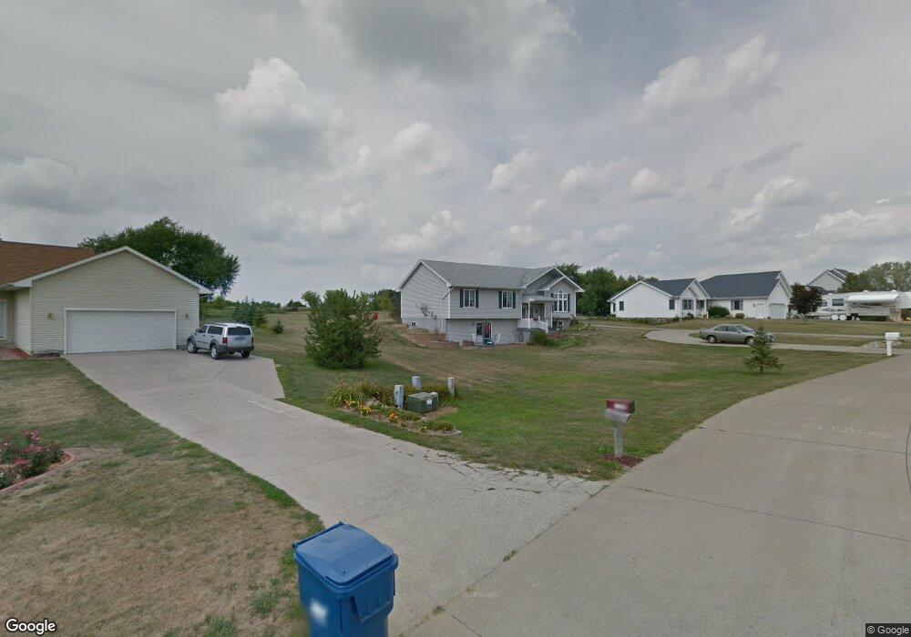
2608 Ashford Ave Muscatine, IA 52761
Estimated Value: $336,000 - $414,000
3
Beds
3
Baths
1,500
Sq Ft
$244/Sq Ft
Est. Value
About This Home
This home is located at 2608 Ashford Ave, Muscatine, IA 52761 and is currently estimated at $366,037, approximately $244 per square foot. 2608 Ashford Ave is a home located in Muscatine County with nearby schools including Mulberry Elementary School, Susan Clark Junior High School, and Muscatine High School.
Ownership History
Date
Name
Owned For
Owner Type
Purchase Details
Closed on
Nov 19, 2010
Sold by
Mcqullen Brenda J
Bought by
Mcquillen James B
Current Estimated Value
Home Financials for this Owner
Home Financials are based on the most recent Mortgage that was taken out on this home.
Original Mortgage
$189,776
Interest Rate
4.25%
Mortgage Type
FHA
Create a Home Valuation Report for This Property
The Home Valuation Report is an in-depth analysis detailing your home's value as well as a comparison with similar homes in the area
Home Values in the Area
Average Home Value in this Area
Purchase History
| Date | Buyer | Sale Price | Title Company |
|---|---|---|---|
| Mcquillen James B | -- | None Available |
Source: Public Records
Mortgage History
| Date | Status | Borrower | Loan Amount |
|---|---|---|---|
| Closed | Mcquillen James B | $189,776 |
Source: Public Records
Tax History Compared to Growth
Tax History
| Year | Tax Paid | Tax Assessment Tax Assessment Total Assessment is a certain percentage of the fair market value that is determined by local assessors to be the total taxable value of land and additions on the property. | Land | Improvement |
|---|---|---|---|---|
| 2025 | $3,504 | $302,200 | $52,790 | $249,410 |
| 2024 | $3,504 | $300,060 | $52,790 | $247,270 |
| 2023 | $3,464 | $307,485 | $52,788 | $254,697 |
| 2022 | $3,062 | $252,670 | $49,800 | $202,870 |
| 2021 | $3,062 | $232,450 | $49,800 | $182,650 |
| 2020 | $3,038 | $220,430 | $49,980 | $170,450 |
| 2019 | $3,208 | $219,390 | $0 | $0 |
| 2018 | $3,088 | $217,870 | $0 | $0 |
| 2017 | $3,088 | $218,260 | $0 | $0 |
| 2016 | $2,944 | $198,790 | $0 | $0 |
| 2015 | $2,944 | $196,930 | $0 | $0 |
| 2014 | $2,942 | $196,930 | $0 | $0 |
Source: Public Records
Map
Nearby Homes
- 2609 Anna Elizabeth
- 2605 Anna Elizabeth
- 2613 Anna Elizabeth
- 2617 Anna Elizabeth
- 2610 Anna Elizabeth
- 2612 Anna Elizabeth
- 2604 Anna Elizabeth
- 2623 Anna Elizabeth
- 2618 Anna Elizabeth
- 2582 Canterbury Rd
- 1899 Ashford Ave
- 1895 Ashford Ave
- LOT M8 Whispering Pines
- LOT M7 Whispering Pines
- 601 Aspen Trail
- LOT 14 B Aspen Trail
- LOT 22 B Aspen Trail
- LOT 15 B Aspen Trail
- 0 Aspen Trail
- LOT 14 A Aspen Trail
- 2606 Ashford Ave
- 2610 Ashford Ave
- 2604 Ashford Ave
- 2607 Ashford Ave
- 2612 Ashford Ave
- 2611 Ashford Ave
- 2608 Canterbury Rd
- 2602 Ashford Ave
- 2614 Ashford Ave
- 2610 Canterbury Rd
- 2598 Canterbury Rd
- 2617 Ashford Ave
- 2612 Canterbury Rd
- 2616 Ashford Ave
- 2602 Paddock Pike
- 2596 Canterbury Rd
- PARCEL Canterbury Rd
- 2602 Wrotham Heath
- 2605 Canterbury Rd
- 2609 Canterbury Rd