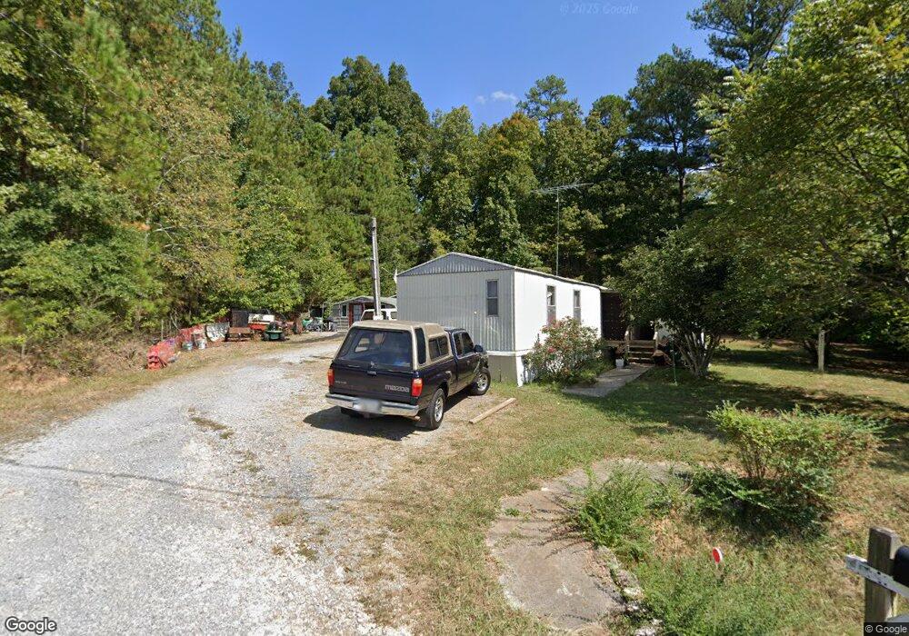
261 Davis Dr NE Calhoun, GA 30701
Estimated Value: $282,000 - $464,000
3
Beds
2
Baths
1,807
Sq Ft
$193/Sq Ft
Est. Value
About This Home
This home is located at 261 Davis Dr NE, Calhoun, GA 30701 and is currently estimated at $348,806, approximately $193 per square foot. 261 Davis Dr NE is a home with nearby schools including Red Bud Elementary School, Red Bud Middle School, and Sonoraville High School.
Ownership History
Date
Name
Owned For
Owner Type
Purchase Details
Closed on
Jun 1, 2022
Sold by
Williams Gary Wayne
Bought by
Walker Johnnt A
Current Estimated Value
Home Financials for this Owner
Home Financials are based on the most recent Mortgage that was taken out on this home.
Original Mortgage
$274,928
Outstanding Balance
$261,595
Interest Rate
5.27%
Mortgage Type
FHA
Estimated Equity
$87,211
Purchase Details
Closed on
Aug 15, 2006
Sold by
Cochran Monica
Bought by
Williams Gary Wayne
Home Financials for this Owner
Home Financials are based on the most recent Mortgage that was taken out on this home.
Original Mortgage
$140,000
Interest Rate
6.73%
Mortgage Type
New Conventional
Purchase Details
Closed on
May 12, 2003
Sold by
Cochran James R and Cochran Monica M
Bought by
Cochran Monica and Cochran Joshua
Create a Home Valuation Report for This Property
The Home Valuation Report is an in-depth analysis detailing your home's value as well as a comparison with similar homes in the area
Home Values in the Area
Average Home Value in this Area
Purchase History
| Date | Buyer | Sale Price | Title Company |
|---|---|---|---|
| Walker Johnnt A | $280,000 | -- | |
| Williams Gary Wayne | $190,000 | -- | |
| Cochran Monica | -- | -- |
Source: Public Records
Mortgage History
| Date | Status | Borrower | Loan Amount |
|---|---|---|---|
| Open | Walker Johnnt A | $274,928 | |
| Previous Owner | Williams Gary Wayne | $140,000 |
Source: Public Records
Tax History Compared to Growth
Tax History
| Year | Tax Paid | Tax Assessment Tax Assessment Total Assessment is a certain percentage of the fair market value that is determined by local assessors to be the total taxable value of land and additions on the property. | Land | Improvement |
|---|---|---|---|---|
| 2024 | $2,842 | $113,880 | $19,960 | $93,920 |
| 2023 | $2,682 | $107,560 | $19,960 | $87,600 |
| 2022 | $2,746 | $101,640 | $19,960 | $81,680 |
| 2021 | $2,311 | $84,480 | $19,960 | $64,520 |
| 2020 | $2,384 | $85,200 | $19,960 | $65,240 |
| 2019 | $2,396 | $85,200 | $19,960 | $65,240 |
| 2018 | $2,248 | $80,040 | $19,960 | $60,080 |
| 2017 | $2,214 | $76,720 | $19,960 | $56,760 |
| 2016 | $2,219 | $76,720 | $19,960 | $56,760 |
| 2015 | $2,208 | $75,640 | $19,960 | $55,680 |
| 2014 | $2,075 | $73,266 | $19,993 | $53,273 |
Source: Public Records
Map
Nearby Homes
- 130 Red Oak Ln
- 249 Davis Dr
- 218 Newtown Rd
- 0 Newtown Rd NE Unit 7019675
- 111 Nike Dr
- 198 Iracille Ln NE
- 218 Newtown Rd NE
- 403 S Sequoyah Cir NE
- 367 Mount Vernon Dr
- 106 Mount Vernon Dr
- 118 Old Mill Dr
- 1215 U S 41
- 154 Millers Ln
- 453 Chatsworth Highway 225 NE
- 137 Millers Ln
- 135 Millers Ln
- 122 Millers Ln
- 115 Old Mill Dr
- 106 Millers Ln
- 108 Mill Stone Dr
- 259 Davis Dr
- 254 Davis Dr
- 298 Newtown Rd NE
- 256 Davis Dr
- 255 Davis Dr
- 251 Davis Dr
- 197 Davis Dr
- 240 Newtown Rd NE
- 250 Davis Dr
- 294 Newtown Rd NE
- 262 Newtown Rd NE
- 246 Newtown Rd NE
- 248 Davis Dr
- 352 Newtown Rd NE
- 304 Newtown Rd NE
- 117 Twin Oaks Dr
- 245 Davis Dr
- 155 Joan Ln NE
- 141 Joan Ln NE
- 121 Twin Oaks Dr