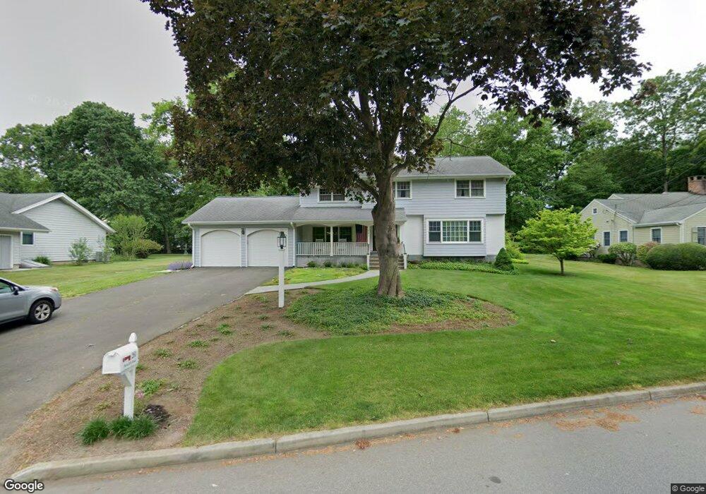
261 Ferncliff Rd Fairfield, CT 06825
Fairfield Woods NeighborhoodEstimated Value: $973,000 - $1,087,000
4
Beds
3
Baths
2,619
Sq Ft
$394/Sq Ft
Est. Value
About This Home
This home is located at 261 Ferncliff Rd, Fairfield, CT 06825 and is currently estimated at $1,031,635, approximately $393 per square foot. 261 Ferncliff Rd is a home located in Fairfield County with nearby schools including Stratfield Elementary School, Tomlinson Middle School, and Fairfield Warde High School.
Ownership History
Date
Name
Owned For
Owner Type
Purchase Details
Closed on
Dec 6, 1990
Sold by
Peoples Bk
Bought by
Quinn Karl W
Current Estimated Value
Home Financials for this Owner
Home Financials are based on the most recent Mortgage that was taken out on this home.
Original Mortgage
$210,000
Interest Rate
10.1%
Mortgage Type
Purchase Money Mortgage
Purchase Details
Closed on
Aug 22, 1990
Sold by
Kaiser Tr Peter
Bought by
Peoples Bk
Create a Home Valuation Report for This Property
The Home Valuation Report is an in-depth analysis detailing your home's value as well as a comparison with similar homes in the area
Home Values in the Area
Average Home Value in this Area
Purchase History
| Date | Buyer | Sale Price | Title Company |
|---|---|---|---|
| Quinn Karl W | $275,000 | -- | |
| Peoples Bk | $235,000 | -- |
Source: Public Records
Mortgage History
| Date | Status | Borrower | Loan Amount |
|---|---|---|---|
| Open | Peoples Bk | $200,000 | |
| Closed | Peoples Bk | $200,000 | |
| Closed | Peoples Bk | $135,000 | |
| Closed | Peoples Bk | $210,000 |
Source: Public Records
Tax History Compared to Growth
Tax History
| Year | Tax Paid | Tax Assessment Tax Assessment Total Assessment is a certain percentage of the fair market value that is determined by local assessors to be the total taxable value of land and additions on the property. | Land | Improvement |
|---|---|---|---|---|
| 2025 | $12,442 | $438,270 | $245,140 | $193,130 |
| 2024 | $12,228 | $438,270 | $245,140 | $193,130 |
| 2023 | $12,057 | $438,270 | $245,140 | $193,130 |
| 2022 | $11,938 | $438,270 | $245,140 | $193,130 |
| 2021 | $11,825 | $438,270 | $245,140 | $193,130 |
| 2020 | $11,347 | $423,570 | $210,560 | $213,010 |
| 2019 | $11,347 | $423,570 | $210,560 | $213,010 |
| 2018 | $11,165 | $423,570 | $210,560 | $213,010 |
| 2017 | $10,937 | $423,570 | $210,560 | $213,010 |
| 2016 | $10,780 | $423,570 | $210,560 | $213,010 |
| 2015 | $10,400 | $419,510 | $222,110 | $197,400 |
| 2014 | $10,236 | $419,510 | $222,110 | $197,400 |
Source: Public Records
Map
Nearby Homes
- 160 Fairfield Woods Rd Unit 35
- 1748 Stratfield Rd
- 232 Church Hill Rd
- 30 Falmouth Rd
- 31 High Ridge Rd
- 8 Nelson Place
- 264 Harvester Rd
- 160 Glengarry Rd Unit 160
- 526 Wilson St
- 893 Church Hill Rd
- 357 Harvester Rd
- 67 Campfield Dr
- 984 Valley Rd
- 104 Putting Green Rd
- 112 Eastwood Rd
- 273 Wheeler Park Ave
- 90 White Oak Rd
- 42 Fairway Green
- 246 Romanock Rd
- 279 Knapps Hwy
- 15 Greenleigh Rd
- 685-689 E Kings Highway Street Cutoff
- 685/689 E Kings Highway Street Cutoff
- 1 Withheld
- LOT12B Oakwood Dr
- LOT #2 (On) Nelson Place
- lot 1 Serenity Ln
- lot 2 Serenity Ln
- 235 Ferncliff Rd
- 281 Ferncliff Rd
- 213 Ferncliff Rd
- 222 Ferncliff Rd
- 37 Greenleigh Rd
- 10 Greenleigh Rd
- 32 Greenleigh Rd
- 59 Greenleigh Rd
- 154 Ferncliff Rd
- 52 Greenleigh Rd
- 185 Ferncliff Rd
- 115 Bulkley Dr