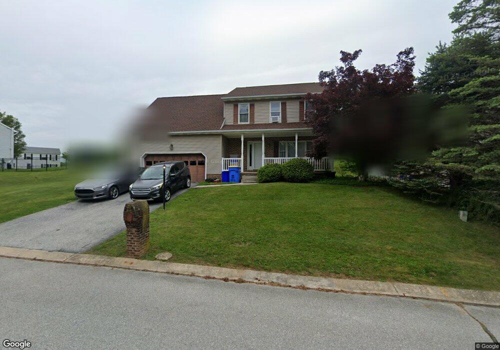
261 Franklin Square Dr Dallastown, PA 17313
Estimated Value: $357,000 - $412,000
4
Beds
3
Baths
2,424
Sq Ft
$157/Sq Ft
Est. Value
About This Home
This home is located at 261 Franklin Square Dr, Dallastown, PA 17313 and is currently estimated at $380,783, approximately $157 per square foot. 261 Franklin Square Dr is a home located in York County with nearby schools including York Township Elementary School, Dallastown Area Middle School, and Dallastown Area High School.
Ownership History
Date
Name
Owned For
Owner Type
Purchase Details
Closed on
Jul 16, 1996
Sold by
Oglietti Gregory T
Bought by
Stein Robert K and Stein Shirley M
Current Estimated Value
Purchase Details
Closed on
Aug 2, 1991
Bought by
Oglietti Gregory T
Create a Home Valuation Report for This Property
The Home Valuation Report is an in-depth analysis detailing your home's value as well as a comparison with similar homes in the area
Home Values in the Area
Average Home Value in this Area
Purchase History
| Date | Buyer | Sale Price | Title Company |
|---|---|---|---|
| Stein Robert K | $145,000 | -- | |
| Oglietti Gregory T | $138,500 | -- |
Source: Public Records
Tax History Compared to Growth
Tax History
| Year | Tax Paid | Tax Assessment Tax Assessment Total Assessment is a certain percentage of the fair market value that is determined by local assessors to be the total taxable value of land and additions on the property. | Land | Improvement |
|---|---|---|---|---|
| 2025 | $6,275 | $182,800 | $30,950 | $151,850 |
| 2024 | $6,183 | $182,800 | $30,950 | $151,850 |
| 2023 | $6,183 | $182,800 | $30,950 | $151,850 |
| 2022 | $5,981 | $182,800 | $30,950 | $151,850 |
| 2021 | $5,698 | $182,800 | $30,950 | $151,850 |
| 2020 | $5,698 | $182,800 | $30,950 | $151,850 |
| 2019 | $5,680 | $182,800 | $30,950 | $151,850 |
| 2018 | $5,641 | $182,800 | $30,950 | $151,850 |
| 2017 | $5,416 | $182,800 | $30,950 | $151,850 |
| 2016 | $0 | $182,800 | $30,950 | $151,850 |
| 2015 | -- | $182,800 | $30,950 | $151,850 |
| 2014 | -- | $182,800 | $30,950 | $151,850 |
Source: Public Records
Map
Nearby Homes
- 79 S Franklin St
- 0 Lot 15 Gary Dr
- 53 S Franklin St
- 263 W Main St
- 2981 Sunset Dr
- 2960 Starfire Dr
- 18 E Howard St
- 680 Hampstead Ct
- 55 Belmar Dr
- 195 Coventry Rd
- 2900 Ironstone Hill Rd
- 117 S Park St
- 430 E Maple St
- 197 S Main St
- 74 S Main St
- 141 W Water St
- 1 N Duke St
- 705 Summit Dr
- 2723 S Queen St Unit 96
- 519 Middleview Dr
- 269 Franklin Square Dr
- 125 Perring Dr
- 145 Perring Dr
- 115 Perring Dr
- 260 Franklin Square Dr
- 279 Franklin Square Dr
- 280 Franklin Square Dr
- 105 Perring Dr
- 285 Franklin Square Dr
- 130 Perring Dr
- 120 Perring Dr
- 140 Perring Dr
- 288 Franklin Square Dr
- 335 Franklin Square Dr
- 110 Perring Dr
- 150 Perring Dr
- 327 Franklin Square Dr
- 291 Franklin Square Dr
- 145 Franklin Square Dr
- 155 Franklin Square Dr