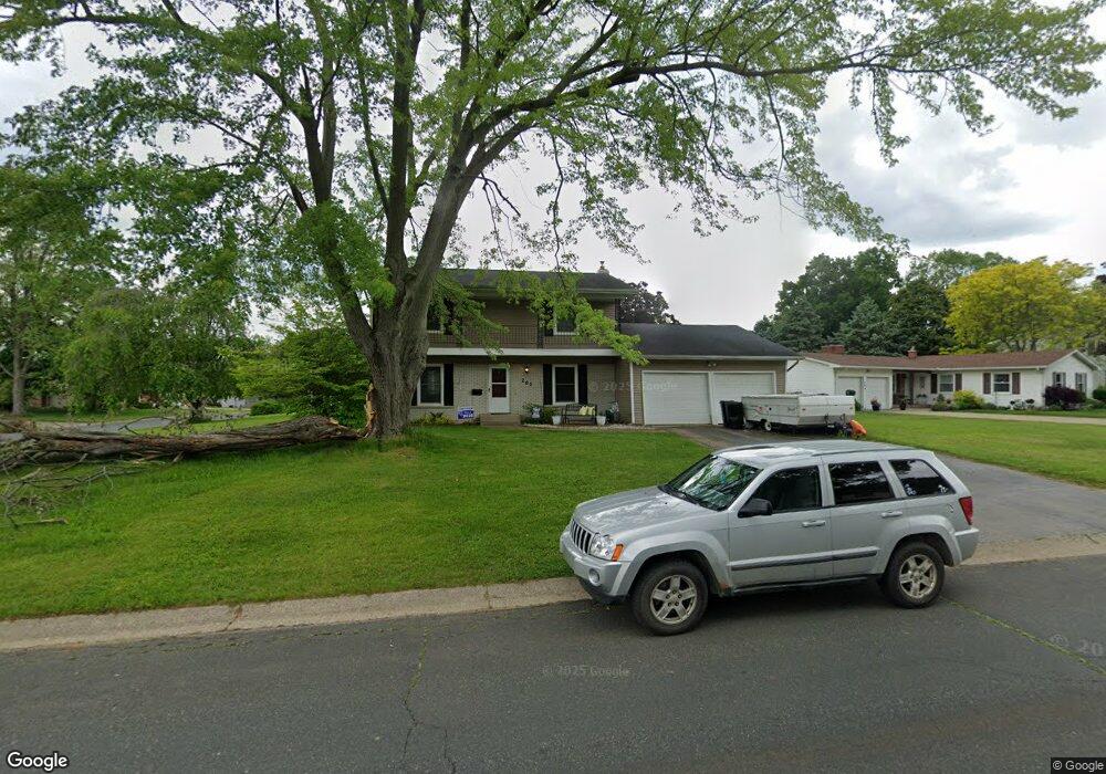
261 Lakeshire Rd Battle Creek, MI 49015
Minges Brook Riverside NeighborhoodEstimated Value: $238,692 - $287,000
4
Beds
3
Baths
1,964
Sq Ft
$133/Sq Ft
Est. Value
About This Home
This home is located at 261 Lakeshire Rd, Battle Creek, MI 49015 and is currently estimated at $261,673, approximately $133 per square foot. 261 Lakeshire Rd is a home located in Calhoun County with nearby schools including Lakeview Middle School, Lakeview High School, and Arbor Academy.
Ownership History
Date
Name
Owned For
Owner Type
Purchase Details
Closed on
Apr 28, 2006
Sold by
Wong Wing Sun Raymond and Chan Hueih Sueih
Bought by
Warren Melanie C
Current Estimated Value
Home Financials for this Owner
Home Financials are based on the most recent Mortgage that was taken out on this home.
Original Mortgage
$28,000
Outstanding Balance
$10,653
Interest Rate
6.39%
Mortgage Type
Credit Line Revolving
Estimated Equity
$251,020
Purchase Details
Closed on
May 18, 2001
Bought by
Wong Wing Sun Raymond
Create a Home Valuation Report for This Property
The Home Valuation Report is an in-depth analysis detailing your home's value as well as a comparison with similar homes in the area
Home Values in the Area
Average Home Value in this Area
Purchase History
| Date | Buyer | Sale Price | Title Company |
|---|---|---|---|
| Warren Melanie C | $140,000 | Fatic | |
| Wong Wing Sun Raymond | $138,000 | -- |
Source: Public Records
Mortgage History
| Date | Status | Borrower | Loan Amount |
|---|---|---|---|
| Open | Warren Melanie C | $28,000 | |
| Open | Warren Melanie C | $112,000 |
Source: Public Records
Tax History Compared to Growth
Tax History
| Year | Tax Paid | Tax Assessment Tax Assessment Total Assessment is a certain percentage of the fair market value that is determined by local assessors to be the total taxable value of land and additions on the property. | Land | Improvement |
|---|---|---|---|---|
| 2025 | -- | $99,700 | $0 | $0 |
| 2024 | $2,858 | $94,489 | $0 | $0 |
| 2023 | $0 | $80,130 | $0 | $0 |
| 2022 | $2,582 | $72,113 | $0 | $0 |
| 2021 | $3,170 | $68,902 | $0 | $0 |
| 2020 | $2,982 | $71,375 | $0 | $0 |
| 2019 | $2,970 | $67,877 | $0 | $0 |
| 2018 | $2,970 | $65,777 | $7,899 | $57,878 |
| 2017 | $2,885 | $61,480 | $0 | $0 |
| 2016 | $2,881 | $61,225 | $0 | $0 |
| 2015 | $2,713 | $60,897 | $5,076 | $55,821 |
| 2014 | $2,713 | $60,658 | $5,076 | $55,582 |
Source: Public Records
Map
Nearby Homes
- 245 Columbia Ave E
- 582 Riverside Dr
- 52 E Acacia Blvd
- 206 N Chapel Hill Dr
- 246 Brentwood Dr
- 112 Darragh Dr
- 677 Morningside Dr
- 326 Goldenview Dr
- 415 Oakvale Ct
- V/L Riverside Dr
- 239 Brewer Dr S
- 0 Cherokee St
- 503 S Shore Dr
- 156 Woodway Ave
- 620 Meadow Dr
- 519 S Shore Dr
- 32 Golden Ave
- 127 Morningside Dr
- 401 Morningside Dr
- 226 Morningside Dr
- 260 Lakeshire Rd
- 269 Lakeshire Rd
- 167 Sheffield Rd
- 256 Lakeshire Rd
- 172 Sheffield Rd
- 264 Lakeshire Rd
- 168 Sheffield Rd
- 270 Lakeshire Rd
- 161 Sheffield Rd
- 273 Lakeshire Rd
- 246 Lakeshire Rd
- 164 Sheffield Rd
- 276 Lakeshire Rd
- 155 Sheffield Rd
- 242 Lakeshire Rd
- 277 Lakeshire Rd
- 233 Lakeshire Rd
- 160 Sheffield Rd
- 362 Golden Ave
- 152 Sheffield Rd