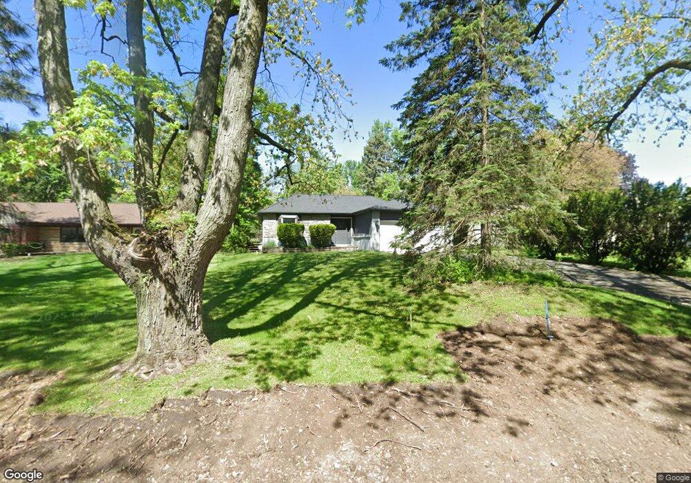
261 Marlborough Dr Bloomfield Hills, MI 48302
Estimated Value: $396,000 - $460,494
3
Beds
3
Baths
1,682
Sq Ft
$252/Sq Ft
Est. Value
About This Home
This home is located at 261 Marlborough Dr, Bloomfield Hills, MI 48302 and is currently estimated at $423,624, approximately $251 per square foot. 261 Marlborough Dr is a home located in Oakland County with nearby schools including Eastover Elementary School, Bloomfield Hills High School, and Arts & Technology Academy of Pontiac.
Ownership History
Date
Name
Owned For
Owner Type
Purchase Details
Closed on
Apr 25, 2012
Sold by
Fairclough Anthony and Fairclough Carol Lee
Bought by
Fairclough Chad
Current Estimated Value
Create a Home Valuation Report for This Property
The Home Valuation Report is an in-depth analysis detailing your home's value as well as a comparison with similar homes in the area
Home Values in the Area
Average Home Value in this Area
Purchase History
| Date | Buyer | Sale Price | Title Company |
|---|---|---|---|
| Fairclough Chad | $100,000 | Capital Title Ins Agency |
Source: Public Records
Tax History Compared to Growth
Tax History
| Year | Tax Paid | Tax Assessment Tax Assessment Total Assessment is a certain percentage of the fair market value that is determined by local assessors to be the total taxable value of land and additions on the property. | Land | Improvement |
|---|---|---|---|---|
| 2024 | $1,920 | $236,490 | $0 | $0 |
| 2023 | $1,858 | $212,440 | $0 | $0 |
| 2022 | $3,491 | $188,050 | $0 | $0 |
| 2021 | $3,466 | $175,400 | $0 | $0 |
| 2020 | $1,699 | $165,700 | $0 | $0 |
| 2019 | $3,262 | $150,950 | $0 | $0 |
| 2018 | $3,277 | $137,770 | $0 | $0 |
| 2017 | $3,253 | $132,470 | $0 | $0 |
| 2016 | $3,260 | $123,280 | $0 | $0 |
| 2015 | -- | $112,550 | $0 | $0 |
| 2014 | -- | $91,590 | $0 | $0 |
| 2011 | -- | $72,480 | $0 | $0 |
Source: Public Records
Map
Nearby Homes
- 95 Hillsdale Rd
- 2449 Mulberry Square Unit 31
- 2383 Mulberry Square Unit 72
- 2449 Mulberry Square Unit 28
- 2442 Mulberry Square Unit 36
- 00 S Berkshire
- 2665 Lahser Rd
- 136 Belroi Place
- 42160 Woodward Ave Unit 8
- 42160 Woodward Ave
- 240 Applewood Ln
- 2625 Plum Brook Dr
- 454 N Fox Hills Dr Unit A-8
- 448 Fox Hills Dr S Unit 3
- 480 Fox Hills Dr N Unit 6
- 2724 Alveston Dr
- 433 Fox Hills Dr S Unit 5
- 363 Sycamore Ct
- 112 E Hickory Grove Rd Unit 26
- 1987 Hunters Ridge Dr
- 265 Marlborough Dr
- 237 Marlborough Dr Unit Bldg-Unit
- 237 Marlborough Dr
- 275 Marlborough Dr
- 223 Marlborough Dr
- 297 Marlborough Dr
- 199 Marlborough Dr
- 2281 Lancaster Rd
- 2275 Lancaster Rd
- 250 Marlborough Dr
- 238 Marlborough Dr
- 226 Marlborough Dr
- 2295 Lancaster Rd
- 268 Marlborough Dr
- 2263 Lancaster Rd
- 309 Marlborough Dr
- 2251 Lancaster Rd
- 214 Marlborough Dr
- 290 Marlborough Dr
- 200 Marlborough Dr