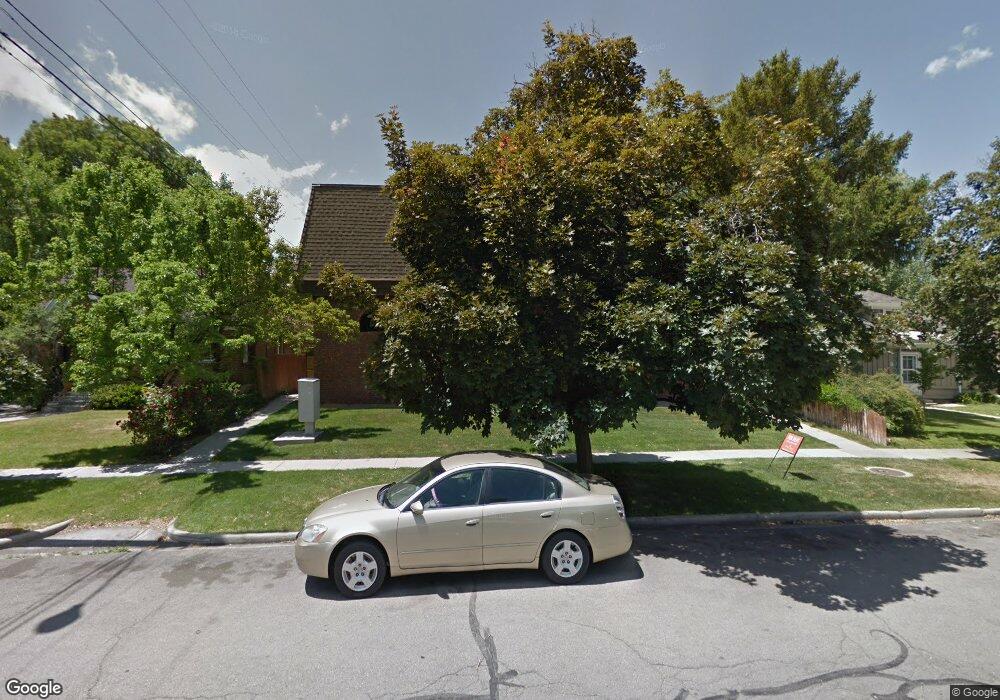
261 N 400 E Provo, UT 84606
Joaquin NeighborhoodEstimated Value: $312,000 - $333,000
2
Beds
1
Bath
797
Sq Ft
$402/Sq Ft
Est. Value
About This Home
This home is located at 261 N 400 E, Provo, UT 84606 and is currently estimated at $320,716, approximately $402 per square foot. 261 N 400 E is a home located in Utah County with nearby schools including Provo Peaks School, Centennial Middle School, and Timpview High School.
Ownership History
Date
Name
Owned For
Owner Type
Purchase Details
Closed on
Jan 25, 2024
Sold by
Michael Jamison Properties Llc
Bought by
Payne Audrey and Payne Michael Douglas
Current Estimated Value
Home Financials for this Owner
Home Financials are based on the most recent Mortgage that was taken out on this home.
Original Mortgage
$217,400
Outstanding Balance
$213,558
Interest Rate
6.61%
Mortgage Type
New Conventional
Estimated Equity
$107,158
Purchase Details
Closed on
Oct 14, 2016
Sold by
Zelaya Otto
Bought by
Michael Jamison Properties Llc
Purchase Details
Closed on
Aug 31, 2016
Sold by
Zelaya Nora
Bought by
Zelaya Otto
Purchase Details
Closed on
Dec 17, 2013
Sold by
Zelaya Nora
Bought by
Zelaya Otto
Home Financials for this Owner
Home Financials are based on the most recent Mortgage that was taken out on this home.
Original Mortgage
$91,200
Interest Rate
4.13%
Mortgage Type
Purchase Money Mortgage
Purchase Details
Closed on
Jul 23, 2008
Sold by
Zelaya Otto
Bought by
Zelaya Nora
Purchase Details
Closed on
Nov 8, 2001
Sold by
Ingram G Dean G and Ingram Amie C
Bought by
Zelaya Nora
Home Financials for this Owner
Home Financials are based on the most recent Mortgage that was taken out on this home.
Original Mortgage
$101,500
Interest Rate
6.62%
Mortgage Type
Seller Take Back
Purchase Details
Closed on
Dec 17, 1998
Sold by
Ingram G Dean G and Ingram Amie C
Bought by
Ingram G Dean
Home Financials for this Owner
Home Financials are based on the most recent Mortgage that was taken out on this home.
Original Mortgage
$68,400
Interest Rate
6.86%
Purchase Details
Closed on
Jul 3, 1998
Sold by
Macdonald Edwin J and Macdonald Sandra K
Bought by
Ingram G Dean
Home Financials for this Owner
Home Financials are based on the most recent Mortgage that was taken out on this home.
Original Mortgage
$67,344
Interest Rate
7.03%
Purchase Details
Closed on
Jun 11, 1998
Sold by
Macdonald Edwin J
Bought by
Macdonald Edwin J and Macdonald Sandra K
Home Financials for this Owner
Home Financials are based on the most recent Mortgage that was taken out on this home.
Original Mortgage
$67,344
Interest Rate
7.03%
Create a Home Valuation Report for This Property
The Home Valuation Report is an in-depth analysis detailing your home's value as well as a comparison with similar homes in the area
Home Values in the Area
Average Home Value in this Area
Purchase History
| Date | Buyer | Sale Price | Title Company |
|---|---|---|---|
| Payne Audrey | -- | Us Title Insurance Agency | |
| Michael Jamison Properties Llc | -- | None Available | |
| Zelaya Otto | -- | First American Title Ins Age | |
| Zelaya Otto | -- | Provo Land Title Co | |
| Zelaya Nora | -- | Old Republic Title Company | |
| Zelaya Nora | -- | Equity Title Agency Inc | |
| Ingram G Dean | -- | First American Title Co | |
| Ingram G Dean | -- | First American Title | |
| Macdonald Edwin J | -- | First American Title |
Source: Public Records
Mortgage History
| Date | Status | Borrower | Loan Amount |
|---|---|---|---|
| Open | Payne Audrey | $217,400 | |
| Previous Owner | Zelaya Otto | $91,200 | |
| Previous Owner | Zelaya Nora | $101,500 | |
| Previous Owner | Ingram G Dean | $68,400 | |
| Previous Owner | Ingram G Dean | $67,344 |
Source: Public Records
Tax History
| Year | Tax Paid | Tax Assessment Tax Assessment Total Assessment is a certain percentage of the fair market value that is determined by local assessors to be the total taxable value of land and additions on the property. | Land | Improvement |
|---|---|---|---|---|
| 2025 | $1,504 | $149,655 | -- | -- |
| 2024 | $1,504 | $148,060 | $0 | $0 |
| 2023 | $1,545 | $149,930 | $0 | $0 |
| 2022 | $1,615 | $158,015 | $0 | $0 |
| 2021 | $1,358 | $231,700 | $27,800 | $203,900 |
| 2020 | $1,339 | $214,200 | $25,700 | $188,500 |
| 2019 | $1,165 | $193,800 | $26,000 | $167,800 |
| 2018 | $995 | $167,900 | $22,000 | $145,900 |
| 2017 | $851 | $78,925 | $0 | $0 |
| 2016 | $794 | $68,640 | $0 | $0 |
| 2015 | $756 | $66,000 | $0 | $0 |
| 2014 | $695 | $63,250 | $0 | $0 |
Source: Public Records
Map
Nearby Homes
- 240 N 500 East St
- 246 N 200 E
- 364 N 500 E
- 466 N 200 E
- 194 N 100 E
- 142 N 100 E
- 541 E 500 N Unit 12
- 240 E 600 N
- 69 E Center St
- 655 E 600 N Unit 6
- 611 N 700 E Unit 5
- 864 E 200 N
- 659 N 700 E Unit 17
- 722 N 200 E Unit 6
- 150 S 700 E
- 248 S 300 E
- 785 E 560 N Unit 405
- 245 S 500 E
- 747 N 200 E Unit 1
- 144 E 200 S
- 261 N 400 E
- 261 N 400 E
- 261 N 400 E Unit 301
- 261 N 400 E
- 261 N 400 E
- 261 N 400 E
- 261 N 400 E
- 261 N 400 E Unit 109
- 261 N 400 E
- 261 N 400 E
- 261 N 400 E Unit 204
- 261 N 400 E Unit 202
- 261 N 400 E Unit 104
- 261 N 400 E Unit 102
- 261 N 400 E Unit 101
- 261 N 400 E Unit 304
- 261 N 400 E Unit 302
- 261 N 400 E Unit 201
- 261 N 400 E Unit 303
- 261 N 400 E Unit 203