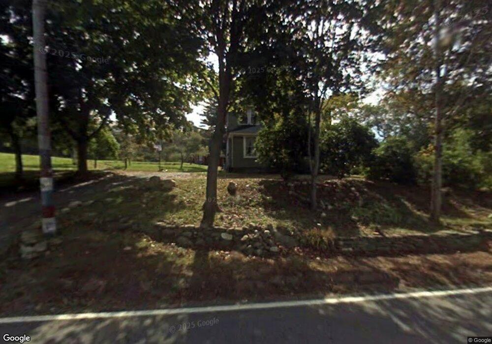
261 Orcuttville Rd Stafford Springs, CT 06076
Stafford NeighborhoodEstimated Value: $295,000 - $358,000
4
Beds
2
Baths
1,792
Sq Ft
$185/Sq Ft
Est. Value
About This Home
This home is located at 261 Orcuttville Rd, Stafford Springs, CT 06076 and is currently estimated at $331,756, approximately $185 per square foot. 261 Orcuttville Rd is a home located in Tolland County with nearby schools including Stafford Elementary School, Stafford Middle School, and Stafford High School.
Ownership History
Date
Name
Owned For
Owner Type
Purchase Details
Closed on
Nov 1, 2012
Sold by
Bacchiochi Allen
Bought by
Boucher Marc P and Boucher Julie A
Current Estimated Value
Home Financials for this Owner
Home Financials are based on the most recent Mortgage that was taken out on this home.
Original Mortgage
$131,760
Outstanding Balance
$91,521
Interest Rate
3.5%
Estimated Equity
$240,235
Purchase Details
Closed on
May 7, 2012
Sold by
Dobson Scott
Bought by
Bacchiochi Allen
Create a Home Valuation Report for This Property
The Home Valuation Report is an in-depth analysis detailing your home's value as well as a comparison with similar homes in the area
Home Values in the Area
Average Home Value in this Area
Purchase History
| Date | Buyer | Sale Price | Title Company |
|---|---|---|---|
| Boucher Marc P | $164,700 | -- | |
| Bacchiochi Allen | $60,000 | -- |
Source: Public Records
Mortgage History
| Date | Status | Borrower | Loan Amount |
|---|---|---|---|
| Open | Bacchiochi Allen | $131,760 |
Source: Public Records
Tax History Compared to Growth
Tax History
| Year | Tax Paid | Tax Assessment Tax Assessment Total Assessment is a certain percentage of the fair market value that is determined by local assessors to be the total taxable value of land and additions on the property. | Land | Improvement |
|---|---|---|---|---|
| 2025 | $6,275 | $101,990 | $29,190 | $72,800 |
| 2024 | $3,936 | $101,990 | $29,190 | $72,800 |
| 2023 | $3,749 | $101,990 | $29,190 | $72,800 |
| 2022 | $3,649 | $101,990 | $29,190 | $72,800 |
| 2021 | $3,563 | $101,990 | $29,190 | $72,800 |
| 2020 | $3,494 | $100,030 | $37,660 | $62,370 |
| 2019 | $3,413 | $97,720 | $37,660 | $60,060 |
| 2018 | $3,348 | $97,720 | $37,660 | $60,060 |
| 2017 | $3,190 | $94,010 | $37,660 | $56,350 |
| 2016 | $3,150 | $94,010 | $37,660 | $56,350 |
| 2015 | $3,394 | $101,710 | $37,660 | $64,050 |
| 2014 | $3,359 | $101,710 | $37,660 | $64,050 |
Source: Public Records
Map
Nearby Homes
- 267 Orcuttville Rd
- 4 Leonard Rd
- 5 Pinewood Ln
- 4 Pinewood Ln
- 2 Pinewood Ln
- 1 Goodell Rd
- 28 Fluery Dr
- 336 East St
- 143 East St
- 107 Hydeville Rd
- 13 Deepwood Rd
- 8 Gale Rd
- 10 Laurel Ln
- 200 Orcuttville Rd
- 103 Furnace Ave
- 97 Orcuttville Rd
- 34 Hillcrest Dr
- 12 Hillcrest Dr
- 92 Furnace Ave Unit 68
- 92 Furnace Ave Unit 70
- 262 Orcuttville Rd
- 102W Roaring Brook Coop Campground
- 21 Wales Rd - Lakeview!!!
- WW-106 S Rd-Roaring Brook
- r-63 Silver Spure
- 186 Sun Valley Camp Ground
- 383 w92 South Rd
- 265 Orcuttville Rd
- 267 Orcuttville Rd Unit blue
- 266 Orcuttville Rd
- 268 Orcuttville Rd
- 269 Orcuttville Rd
- 250 Orcuttville Rd
- 257 Orcuttville Rd
- 0 Old Buck Rd Unit G696236
- 0 Old Buck Rd Unit G10064863
- 5 &7 Magauran
- Lot 1 Wales
- 4 Old Monson Rd
- 4 Old Monson Rd