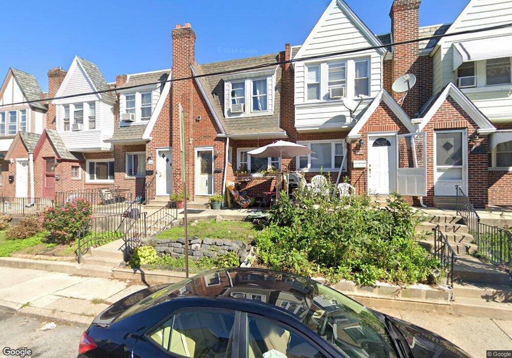
261 Sanford Rd Upper Darby, PA 19082
Estimated Value: $180,144 - $190,000
3
Beds
2
Baths
1,222
Sq Ft
$152/Sq Ft
Est. Value
About This Home
This home is located at 261 Sanford Rd, Upper Darby, PA 19082 and is currently estimated at $186,036, approximately $152 per square foot. 261 Sanford Rd is a home located in Delaware County with nearby schools including Bywood Elementary School, Upper Darby Kdg Center, and Upper Darby High School.
Ownership History
Date
Name
Owned For
Owner Type
Purchase Details
Closed on
Jul 31, 2006
Sold by
Demarco Deborah A
Bought by
Conte Mamoudou and Bangoura Aicha
Current Estimated Value
Home Financials for this Owner
Home Financials are based on the most recent Mortgage that was taken out on this home.
Original Mortgage
$114,098
Outstanding Balance
$68,651
Interest Rate
6.8%
Mortgage Type
FHA
Estimated Equity
$117,385
Purchase Details
Closed on
Jul 23, 2002
Sold by
Langland Constance E
Bought by
Demarco Deborah A
Purchase Details
Closed on
Jul 1, 1997
Sold by
Jackson Francis X and Ferguson Eileen
Bought by
Langland Constance E
Create a Home Valuation Report for This Property
The Home Valuation Report is an in-depth analysis detailing your home's value as well as a comparison with similar homes in the area
Home Values in the Area
Average Home Value in this Area
Purchase History
| Date | Buyer | Sale Price | Title Company |
|---|---|---|---|
| Conte Mamoudou | $115,000 | None Available | |
| Demarco Deborah A | $18,000 | -- | |
| Langland Constance E | $35,000 | -- |
Source: Public Records
Mortgage History
| Date | Status | Borrower | Loan Amount |
|---|---|---|---|
| Open | Conte Mamoudou | $114,098 |
Source: Public Records
Tax History Compared to Growth
Tax History
| Year | Tax Paid | Tax Assessment Tax Assessment Total Assessment is a certain percentage of the fair market value that is determined by local assessors to be the total taxable value of land and additions on the property. | Land | Improvement |
|---|---|---|---|---|
| 2025 | $3,510 | $83,000 | $21,890 | $61,110 |
| 2024 | $3,510 | $83,000 | $21,890 | $61,110 |
| 2023 | $3,477 | $83,000 | $21,890 | $61,110 |
| 2022 | $3,384 | $83,000 | $21,890 | $61,110 |
| 2021 | $4,562 | $83,000 | $21,890 | $61,110 |
| 2020 | $3,544 | $54,790 | $17,030 | $37,760 |
| 2019 | $3,482 | $54,790 | $17,030 | $37,760 |
| 2018 | $3,442 | $54,790 | $0 | $0 |
| 2017 | $3,352 | $54,790 | $0 | $0 |
| 2016 | $301 | $54,790 | $0 | $0 |
| 2015 | $307 | $54,790 | $0 | $0 |
| 2014 | $301 | $54,790 | $0 | $0 |
Source: Public Records
Map
Nearby Homes
- 258 Margate Rd
- 227 Sherbrook Blvd
- 318 Margate Rd
- 7251 Bradford Rd
- 339 Huntley Rd
- 7249 Spruce St
- 200 Wembly Rd
- 367 Margate Rd
- 362 Margate Rd
- 108 Margate Rd
- 142 Springton Rd
- 7265 Calvin Rd
- 207 Avon Rd
- 212 Huntley Rd
- 253 Shirley Rd
- 7000 Penarth Ave
- 234 Long Ln
- 228 Long Ln
- 181 E Plumstead Ave
- 273 Coverly Rd