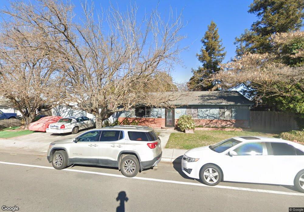
261 Scott St Paso Robles, CA 93446
Estimated Value: $509,000 - $565,000
3
Beds
2
Baths
1,176
Sq Ft
$459/Sq Ft
Est. Value
About This Home
This home is located at 261 Scott St, Paso Robles, CA 93446 and is currently estimated at $539,290, approximately $458 per square foot. 261 Scott St is a home located in San Luis Obispo County with nearby schools including Virginia Peterson Elementary School, Daniel Lewis Middle School, and Paso Robles High School.
Ownership History
Date
Name
Owned For
Owner Type
Purchase Details
Closed on
Jan 23, 2014
Sold by
Jefferis Lea I and Jefferis Thomas T
Bought by
The Jefferis Family Trust and Jefferis Thomas T
Current Estimated Value
Home Financials for this Owner
Home Financials are based on the most recent Mortgage that was taken out on this home.
Original Mortgage
$190,300
Outstanding Balance
$53,548
Interest Rate
4.34%
Mortgage Type
New Conventional
Estimated Equity
$485,742
Create a Home Valuation Report for This Property
The Home Valuation Report is an in-depth analysis detailing your home's value as well as a comparison with similar homes in the area
Purchase History
| Date | Buyer | Sale Price | Title Company |
|---|---|---|---|
| The Jefferis Family Trust | -- | Accommodation | |
| Jefferis Lea I | -- | Fidelity National Title Co |
Source: Public Records
Mortgage History
| Date | Status | Borrower | Loan Amount |
|---|---|---|---|
| Open | Jefferis Lea I | $190,300 |
Source: Public Records
Tax History
| Year | Tax Paid | Tax Assessment Tax Assessment Total Assessment is a certain percentage of the fair market value that is determined by local assessors to be the total taxable value of land and additions on the property. | Land | Improvement |
|---|---|---|---|---|
| 2025 | $392 | $43,099 | $8,604 | $34,495 |
| 2024 | $384 | $42,255 | $8,436 | $33,819 |
| 2023 | $384 | $41,427 | $8,271 | $33,156 |
| 2022 | $377 | $40,615 | $8,109 | $32,506 |
| 2021 | $369 | $39,819 | $7,950 | $31,869 |
| 2020 | $363 | $39,412 | $7,869 | $31,543 |
| 2019 | $356 | $38,640 | $7,715 | $30,925 |
| 2018 | $350 | $37,883 | $7,564 | $30,319 |
| 2017 | $328 | $37,141 | $7,416 | $29,725 |
| 2016 | $320 | $36,414 | $7,271 | $29,143 |
| 2015 | $317 | $35,868 | $7,162 | $28,706 |
| 2014 | $305 | $35,166 | $7,022 | $28,144 |
Source: Public Records
Map
Nearby Homes
- 358 Via Ramona
- 1607 Westfield Rd
- 204 Nighthawk Dr
- 2483 Starling Ct
- 2097 Fallbrook Ct
- 128 Flag Way Unit A
- 1816 Kings Dr
- 902 Sycamore Canyon Rd
- 320 Cool Valley Dr
- 4 Dove Ct
- 609 Larkfield Place
- 611 Larkfield Place
- 603 Cool Valley Dr
- 340 Bobwhite Dr
- 911 Saint Ann Dr
- 230 Partridge Ave
- 1824 Marigold Ln
- 5185 Airport Rd
- Liberty II Plan at Nevina - Freedom 50
- Pinnacle Plan at Nevina - Freedom 60
- 389 Camino Lobo
- 251 Scott St
- 388 Via Ramona
- 379 Camino Lobo
- 291 Scott St
- 378 Via Ramona
- 388 Camino Lobo
- 369 Camino Lobo
- 378 Camino Lobo
- 368 Via Ramona
- 368 Camino Lobo
- 359 Camino Lobo
- 358 Camino Lobo
- 349 Camino Lobo
- 348 Via Ramona
- 348 Camino Lobo
- 339 Camino Lobo
- 338 Via Ramona
- 338 Camino Lobo
- 329 Camino Lobo