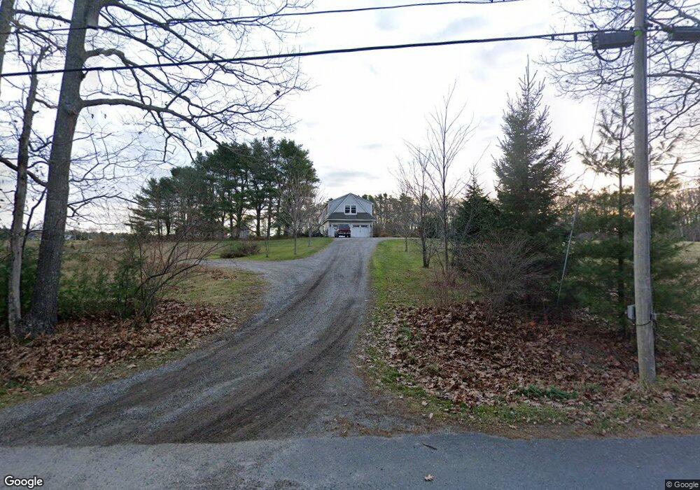
261 Simpsons Point Rd Brunswick, ME 04011
Estimated Value: $810,000 - $916,000
3
Beds
2
Baths
1,800
Sq Ft
$485/Sq Ft
Est. Value
About This Home
This home is located at 261 Simpsons Point Rd, Brunswick, ME 04011 and is currently estimated at $873,006, approximately $485 per square foot. 261 Simpsons Point Rd is a home located in Cumberland County with nearby schools including Priest Elementary-Middle School, Kate Furbish Elementary School, and Brunswick Jr High School.
Ownership History
Date
Name
Owned For
Owner Type
Purchase Details
Closed on
Mar 10, 2011
Sold by
Whisenant Robert
Bought by
Carr Matthew P and Carr Sarah G
Current Estimated Value
Home Financials for this Owner
Home Financials are based on the most recent Mortgage that was taken out on this home.
Original Mortgage
$280,000
Outstanding Balance
$191,351
Interest Rate
4.83%
Mortgage Type
Purchase Money Mortgage
Estimated Equity
$681,655
Purchase Details
Closed on
Oct 17, 2007
Sold by
Kipp Deryl P and Kipp Melanie B
Bought by
Whisenant Robert
Home Financials for this Owner
Home Financials are based on the most recent Mortgage that was taken out on this home.
Original Mortgage
$440,100
Interest Rate
10.65%
Mortgage Type
Unknown
Create a Home Valuation Report for This Property
The Home Valuation Report is an in-depth analysis detailing your home's value as well as a comparison with similar homes in the area
Home Values in the Area
Average Home Value in this Area
Purchase History
| Date | Buyer | Sale Price | Title Company |
|---|---|---|---|
| Carr Matthew P | -- | -- | |
| Whisenant Robert | -- | -- |
Source: Public Records
Mortgage History
| Date | Status | Borrower | Loan Amount |
|---|---|---|---|
| Open | Carr Matthew P | $280,000 | |
| Previous Owner | Whisenant Robert | $440,100 |
Source: Public Records
Tax History Compared to Growth
Tax History
| Year | Tax Paid | Tax Assessment Tax Assessment Total Assessment is a certain percentage of the fair market value that is determined by local assessors to be the total taxable value of land and additions on the property. | Land | Improvement |
|---|---|---|---|---|
| 2024 | $10,494 | $440,000 | $150,700 | $289,300 |
| 2023 | $10,248 | $440,000 | $150,700 | $289,300 |
| 2022 | $9,426 | $434,600 | $150,700 | $283,900 |
| 2021 | $8,454 | $434,600 | $150,700 | $283,900 |
| 2020 | $8,739 | $429,000 | $150,700 | $278,300 |
| 2019 | $8,168 | $414,200 | $150,700 | $263,500 |
| 2018 | $0 | $414,200 | $150,700 | $263,500 |
| 2017 | $7,609 | $414,200 | $150,700 | $263,500 |
| 2016 | $7,792 | $265,500 | $89,300 | $176,200 |
| 2015 | $7,530 | $265,500 | $89,300 | $176,200 |
| 2014 | $7,083 | $265,500 | $89,300 | $176,200 |
| 2013 | -- | $265,500 | $89,300 | $176,200 |
Source: Public Records
Map
Nearby Homes
- 0 Gundalo Gap Rd Unit 1638108
- 270 Harpswell Neck Rd
- 853 Mere Point Rd
- 250 Mere Point Rd
- Map 80 Lot 18-0 White Island
- 6 Chebeague Ln
- 49 Gleed Dr
- 6 Melden Dr
- 0 Melden Dr
- 10 Betina Ln
- 54 Linnell Cir
- 10 Kitt St
- 11 Elwell Ln
- 29 Elwell Ln
- 46 Blackstone Club Rd
- Lot 14 Village Cir
- 32 Village Cir
- Lot 8 Village Cir
- 23 Village Cir
- 20 Village Cir
- 261 Simpson's Point
- 273 Simpsons Point Rd
- 266 Simpsons Point Rd
- 242 Simpsons Point Rd
- 290 Simpsons Point Rd
- 46 Ocean Dr
- 295 Simpsons Point Rd
- 22 Ocean Dr
- 52 Ocean Dr
- 306 Simpsons Point Rd
- 24 Ocean Dr
- 0 Pennell Way Unit 266889
- 0 Pennell Way Unit 1540342
- 0 Pennell Way Unit 1528611
- 324 Simpsons Point Rd
- 10 Ocean View Dr
- 27 Tidal Run Ln
- 58 Ocean Dr
- 43 Ocean Dr
- 59 Ocean Dr